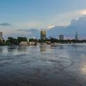
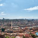
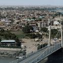
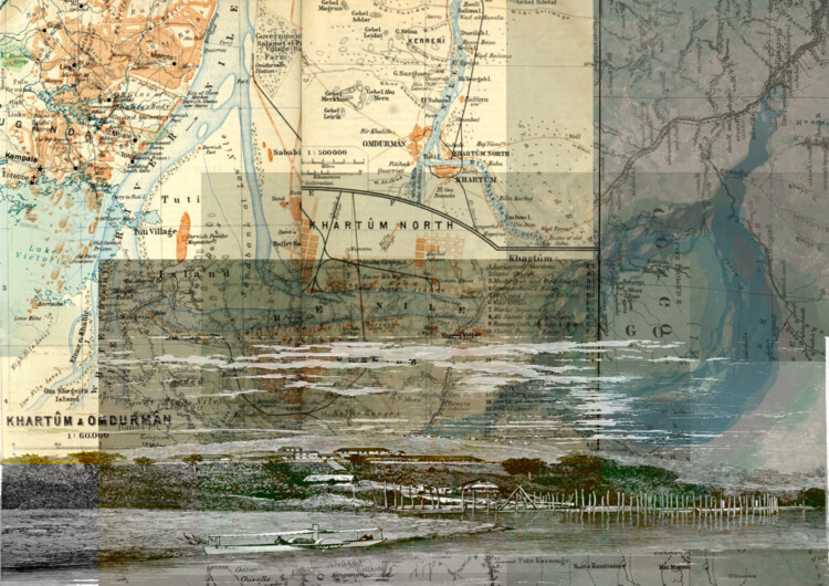
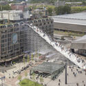
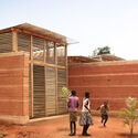
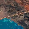
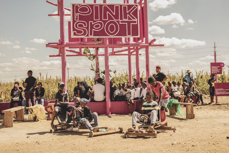
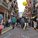
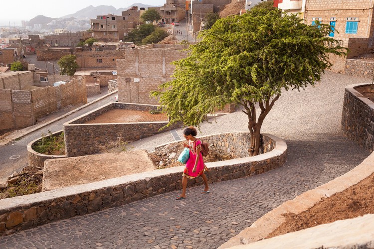
Conceptual map collage of Kampala, Khartoum and Kinshasa. Illustration by Maisa Elamein via Wikimedia Commons and Public Domain sources.
Colonial violence in African cities bled through the political dimensions into the spatial realm. It is infused into street grids, land tenure systems, drainage infrastructure and residential zones that continue to organize inequality and displacement today. Kinshasa, Khartoum, and Kampala each carry this afterlife in their urban morphology, at once historical artifacts and an active structure; shaping who has access to services, who occupies flood-prone land, and catalyzing a deepening climate instability that forces this apparatus into entirely new dimensions - including geological ones.
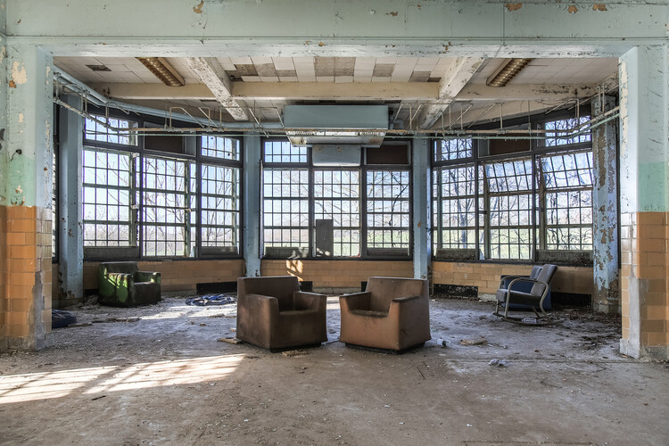
Obsolete buildings. Image Courtesy of Matt Van der Velde
Sustainability in architecture is often discussed as though it were a universal standard—and, in principle, it should be. Buildings are increasingly evaluated through energy performance, embodied carbon, certification systems, material efficiency, biodiversity, and whole-life impact. Yet the rules determining what must actually be done remain highly local. A project designed in London, New York, or Copenhagen may be shaped by stringent energy codes, environmental review, disclosure requirements, planning controls, and increasingly ambitious carbon targets. The same practice working elsewhere may encounter a very different regulatory landscape.
This creates a difficult question for international architecture: when sustainability is not enforced to the same degree by law, what standards should architects carry with them?
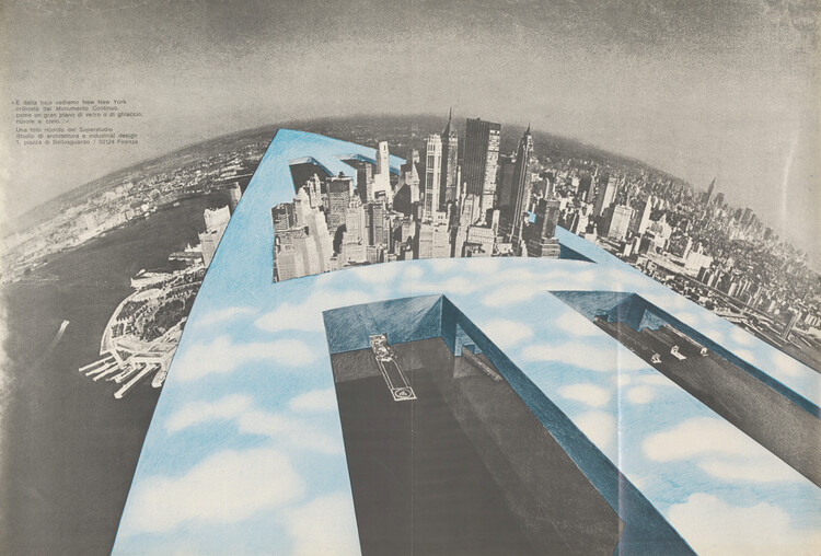
The Continuous Monument- 1969. Image Courtesy of Superstudio
Ask an architect what the hardest problem in the discipline is right now. The block of unmaintained postwar housing two streets from their office rarely comes up. What comes to their mind is the pressure differentials on Mars, or the tensile loads on a floating platform; because unclaimed ground has no one to negotiate with, no history to answer to, no tenant to remember the last renovation, which makes it considerably easier to design for.
Architects think of themselves as solving a harder problem than the one next door. A project, like The Line, a 170-kilometer city meant to house nine million residents, with a site with no prior claimant, is not architecturally harder than a site with a hundred years of tenancy, contested ownership, and a planning department that remembers the last three developers who used the word "community" and meant something else. It is, considerably, easier. No one to persuade, no history to answer to, no argument to lose. Which raises the question of whether the harder problem is sitting two streets from the office, unsolved, and the easier one is the one getting the renderings and the funding rounds; then 'ambition' is the wrong word for what is happening. Something is being avoided, and we need to start thinking about what.
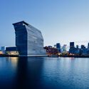
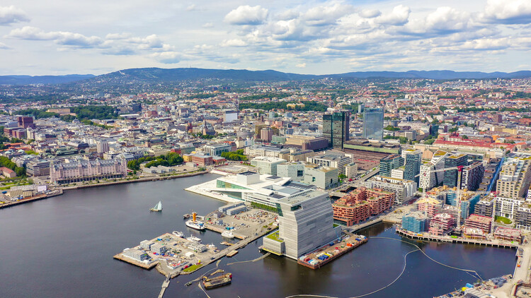
Oslo, Norway. Photo by Collection Maykova, via Shutterstock
Oslo is the capital of Norway as well as its largest city, serving as the country's political, economic, and cultural center. Nestled at the head of the Oslofjord and surrounded by forested hills, it's home to roughly 700,000 people in the city, with over a million living in the greater metropolitan area. Founded around a thousand years ago, Oslo has a long history as a trading post and administrative seat. However, much of its modern character was shaped after a major fire in the seventeenth century led to a full rebuilding under Danish rule, when it was briefly renamed Christiania. Today it consistently ranks among the world's most livable cities, prized for its blend of urban life and easy access to nature.
This article is part of "Thresholds", a special edition printed newspaper by Cobe Notes x ArchDaily.
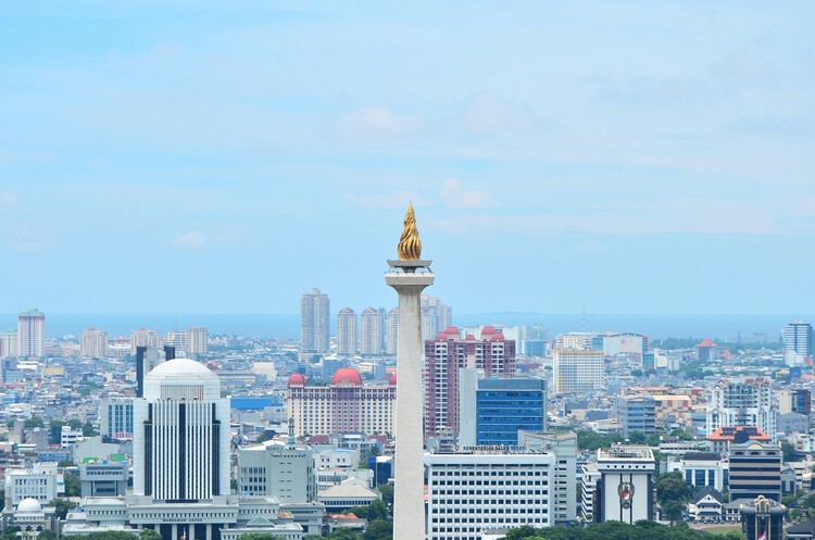
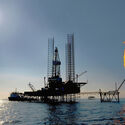
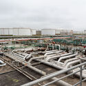
Beneath the ground lies a material that has quietly shaped the architecture of the modern world. Petroleum is rarely discussed within architectural discourse, yet the extraction, circulation, and consumption of oil have profoundly reorganized the spatial logic of territories. Pipelines, refineries, drilling platforms, ports, highways, and petrochemical complexes form a vast infrastructural landscape that sustains contemporary life, composing a dispersed architecture of energy.
Throughout the twentieth and twenty-first centuries, oil became the material foundation of industrial society. It fueled transportation, powered factories, and supported the growth of cities whose spatial organisation depended on continuous energy flows. Yet the infrastructures that enable these flows rarely become objects of architectural inquiry. Attention remains largely directed toward form, typology, or urban density, while the material systems that sustain these environments tend to remain displaced within the discipline.
Every housing crisis eventually becomes a land question, and every land question eventually becomes a values question. The United States' West Coast has arrived at that point. As cities from Los Angeles to Seattle search for parcels to build the affordable housing they have promised for years, they keep landing on the same answer: the park or the greenbelt. What looks like a zoning decision is a referendum on which form of wellbeing a city is willing to sacrifice for another.
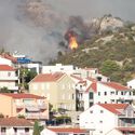
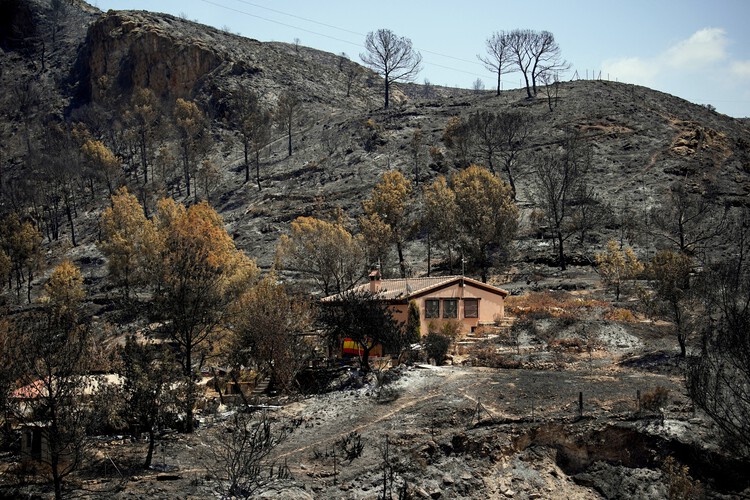
Severe late-August wildfires across northern Algeria have brought residential areas, agricultural lands, and critical transport corridors directly into the path of rapidly spreading flames. The destruction across Jijel, Béjaïa, and Tizi Ouzou claimed at least 12 lives and forced the emergency closure of major national highways. The latest outbreak follows a summer of repeated fires across the country, with authorities recorded nearly 2,000 fires nationwide in July, while fires in the northeastern province of Annaba at the end of the month forced more than 100 people to leave their homes and damaged nearly 150 houses. The current fires have again brought residential areas, roads and other infrastructure into the path of rapidly spreading flames. Forest fires occur regularly in northern Algeria during the summer, with increasingly frequent drought and periods of intense heat contributing to more severe fire conditions.
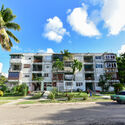
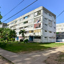
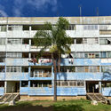
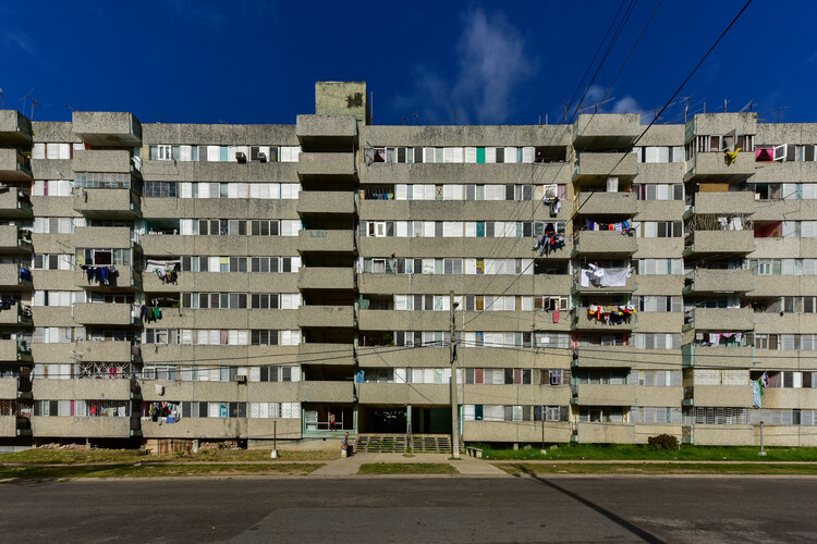
In the 1970s, Cuba faced a severe nationwide housing shortage due to population growth, rural-to-urban migration, and the degradation of existing housing stock. The government's answer was a system that pulled ordinary workers off their regular jobs and put them on building sites instead. This program, known as the Microbrigadas (microbrigades), reshaped entire districts of Havana, where they combined collective self-construction and state-backed technical knowledge, which left a mark on the urban grid of its capital city that persists until today.
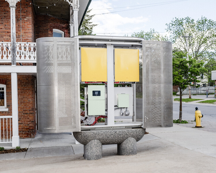
Against a backdrop of climate change, inflation, and armed conflict, the global energy system is undergoing change and facing scrutiny. As stated by the United Nations, buildings must be heated, lit, and electrified through clean, accessible, affordable, sustainable, and reliable power sources. Architecture and urban planning can contribute both to expanding energy access and to exploring different forms of storage. The Toronto-based startup Civic Grid designs and builds energy storage systems with the aim of changing the relationship communities have with the electrical power behind everyday life. Their first architectural battery was designed as public architecture by architects Jack Self and Josh Harskamp with industrial designer Max Fine. The prototype is the evolution of a deployable energy system developed with Lisbon Civil Defence for the Lisbon Architecture Triennale 2025, still in operation, and is paired with a scale model.
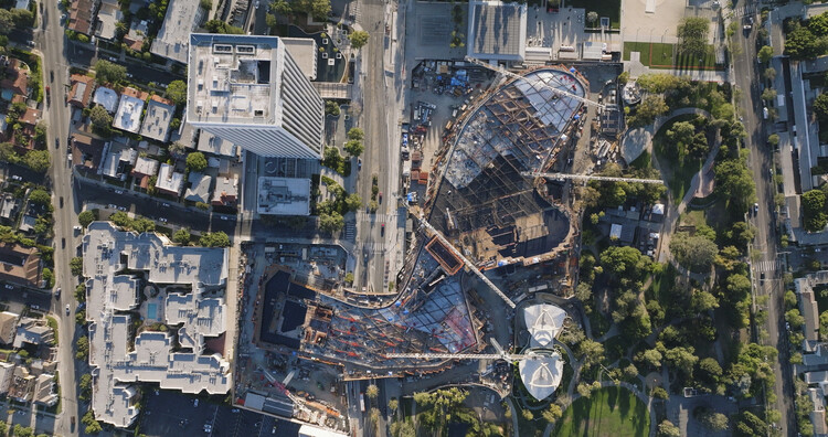
August 2023; An aerial perspective captures the sprawling scale of the horizontal construction sequence as the structure begins taking its organic shape across the site.. Image Courtesy of Clark Construction
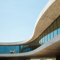
The recently opened David Geffen Galleries at LACMA are the result of more than a decade of effort across many fronts: the city, the county, the public, the architect, the engineers, the general contractor, and the many builders involved in translating an ambitious and visionary design into built form. The project has also been subject to unusually intense scrutiny, with responses ranging from admiration for its meticulous construction and architectural ambition to criticism of its scale, cost, concrete mass, and engineering complexity in earthquake-prone Los Angeles. Whatever one's position, the building remains an exceptionally sophisticated case study in how architecture is negotiated through construction.
This conversation approaches the David Geffen Galleries from the perspective of Clark Construction, the general contractor responsible for helping bring Peter Zumthor's design to completion. Carlos Gonzalez, Group President at Clark Construction, oversaw the construction process and shared with ArchDaily some of the technical, material, and logistical challenges behind the building. These range from its monolithic concrete structure and extensive post-tensioning system to the 56 seismic isolators that allow the building to move during an earthquake; from unpredictable ground conditions near the La Brea Tar Pits to the fabrication of solid bronze mullions and the integration of mechanical systems within the building's double-deck concrete structure.
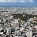
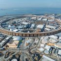
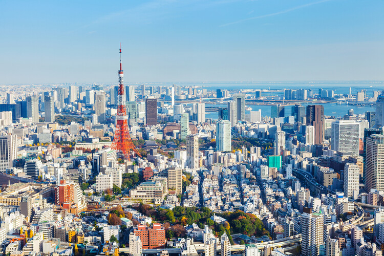
"Map the New World" is the motto of Project PLATEAU, led by Japan's Ministry of Land, Infrastructure, Transport and Tourism (MLIT), to develop and expand access to 3D models representing the diversity of cities across the country. Japan comprises a total of 744 cities, including 14 with populations exceeding one million, 190 with between 100,000 and one million inhabitants, and 540 with populations between 10,000 and 100,000. To date, 3D models of more than 250 cities have been made available as open data through the country's public G-Spatial Information Center, and can also be accessed via an online browser viewer. According to public authorities, the project aims to strengthen urban resilience by providing society with new tools to address local challenges. This involves not only urban space modeling but also collaboration with local governments, private companies, and technology communities. The project also includes a digital reconstruction of the recently closed Osaka World Expo site.
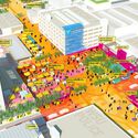
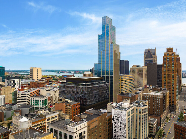
Hudson's Detroit mixed-used development. Aerial view.. Image Courtesy of Bedrock
Urban planning is often confused with adjacent disciplines: urban design, environmental policy, civic strategy, local politics, or data analytics. Moreover, the overlap in training and responsibilities between planning and urban practices makes the field difficult to define clearly. In practice, it is often easier to recognize the consequences of bad planning than to articulate the outcomes of good planning. When planning is working well for residents, it should disappear altogether. It should remove friction from daily life so that people would not think to credit a discipline at all. At its core, urban planning is the relationship people have with their environments, and when that relationship is functioning, the mechanics of housing, transportation, affordability, access, and inclusion should feel ordinary and expected.
An informal vendor selling balloons along La Séptima in the Plaza de Bolívar. "Bogota, Colombia" by szeke is licensed under CC BY-SA 2.0
This article is the winning entry of the Epistle Writing Prize 2025, an annual competition dedicated to recognizing outstanding writing on design, architecture, and the environment.
It's wet season, but this morning's downpour does little to deter the rhythm along La Carrera Séptima. Cyclists and pedestrians weave past ambulatory vendors with carts of avocados, ginger sweets, and phone cases. Toy cars, lightbulbs, and hand-beaded jewelry glisten with raindrops, arranged neatly on tarps that demarcate vendors' territories. Police officers approach a recycler gathering bottles; a tourist bargains for a jacket; two women find each other in the middle of the road, embracing as their coats grow heavy with rain.
La Séptima, or Bogotá's Seventh Avenue, is the most emblematic road in Bogotá, traversed by more than two million people every day. Along this single road — part marketplace, part protest route, part transportation hub — Bogotá's history unfolds. For nearly a year, I traced its rhythms as a pedestrian, commuter, inhabitant, and researcher. In all these moments and their historical incarnations, one image endured: the road is a living body. It is imagined as Bogotá's backbone, its vital artery, its heart. It bleeds, bears scars, and demands care.