1. ArchDaily
  2. Urban Design

Urban Design: The Latest Architecture and News

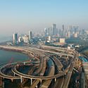
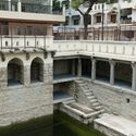
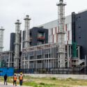
From Coastal Reclamation to Data Centers: How India's Architecture Grows Around Water

Audio available

Architecture has treated water either as a backdrop or a problem: a view to be framed, a hazard to be drained, or a utility to be connected. In contemporary India, a more consequential relationship takes shape. Water remains a shared ecological resource, yet the land and infrastructure around it are increasingly financed and defended as economic assets. Coastlines are extended to carry traffic and lake edges become lucrative development zones. The decision to do so passes through multiple institutions with different vocabularies, thereby challenging who determines how water and its surroundings are used, and who faces the consequences.

From Coastal Reclamation to Data Centers: How India's Architecture Grows Around Water - Image 1 of 4From Coastal Reclamation to Data Centers: How India's Architecture Grows Around Water - Image 2 of 4From Coastal Reclamation to Data Centers: How India's Architecture Grows Around Water - Image 3 of 4From Coastal Reclamation to Data Centers: How India's Architecture Grows Around Water - Image 4 of 4From Coastal Reclamation to Data Centers: How India's Architecture Grows Around Water - More Images+ 1

London’s Oxford Street Opens Its First Traffic-Free Phase

Audio available

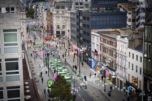
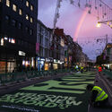
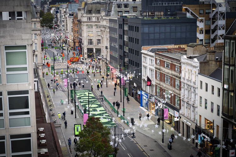
In 2016, Mayor of London Sadiq Khan first expressed the intention to pedestrianize Oxford Street, located in the City of Westminster in central London. The original plan was to complete the project in 2020, but after two public consultations, the project was blocked in 2018. Resumed in 2024, it was followed by two public consultations that showed majority support among respondents. Final approval was granted in February 2026, and on Monday, October 26, almost a kilometer, from Orchard Street to Great Portland Street, became traffic-free. This milestone marks the first phase of the program: the section is now closed to private motorized vehicles, buses, taxis and private hire vehicles, cycles, scooters and pedicabs.

London’s Oxford Street Opens Its First Traffic-Free Phase - 1 的图像 4London’s Oxford Street Opens Its First Traffic-Free Phase - 2 的图像 4London’s Oxford Street Opens Its First Traffic-Free Phase - 3 的图像 4London’s Oxford Street Opens Its First Traffic-Free Phase - 4 的图像 4London’s Oxford Street Opens Its First Traffic-Free Phase - More Images+ 2

Subscriber Access

Beyond Affordable Housing: Integrating Civic Infrastructure in US Mixed-Use Developments

Audio available

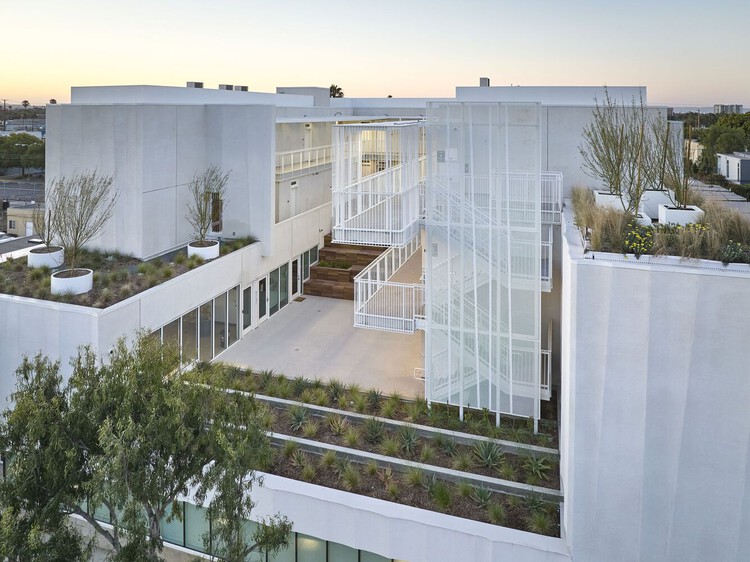
For much of the twentieth century, affordable housing in the United States was conceived as a distinct residential category, shaped by financing structures and development practices that separated housing for lower-income residents from the broader civic and commercial functions of the city. Federal housing legislation and subsequent urban renewal policies contributed to the construction of large residential developments that were frequently financed and managed independently of surrounding urban infrastructure. The consequences of this approach, including concentrated poverty, deteriorating buildings, unequal access to services, and the eventual demolition of prominent public housing projects, are extensively documented.

Today, the provision of affordable housing is closely tied to economic and regulatory mechanisms that determine feasibility, from land values and construction costs to zoning regulations and public subsidies. Programs for housing credits play a significant role in financing affordable rental housing, while competitive allocation of resources and pressure to maximize housing delivery place considerable emphasis on regulatory compliance.

Beyond Affordable Housing: Integrating Civic Infrastructure in US Mixed-Use Developments - Imagen 1 de 4Beyond Affordable Housing: Integrating Civic Infrastructure in US Mixed-Use Developments - Imagen 2 de 4Beyond Affordable Housing: Integrating Civic Infrastructure in US Mixed-Use Developments - Imagen 3 de 4Beyond Affordable Housing: Integrating Civic Infrastructure in US Mixed-Use Developments - Imagen 4 de 4Beyond Affordable Housing: Integrating Civic Infrastructure in US Mixed-Use Developments - More Images+ 19

Constructed Fictions: Inside the Work of Balsa Crosetto Piazzi

Audio available

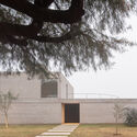
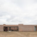
Balsa Crosetto Piazzi is an architecture practice founded in 2015, based in Córdoba, Argentina, and Boston, USA. Led by architects Juan Manuel Balsa, Rocío Crosetto Brizzio, and Leandro Piazzi, the core of their work is the material side of architecture. For them, a building is not just a finished object, but rather a way to organize everything that goes into making it. Their work is shaped by a slow process; during the construction and design stages, they pay attention to where the materials come from, who does the work, what skills those people already have, and what's actually available nearby. This allows their built work to become a platform that serves as a starting point, bringing all of these pieces together. In that sense, they also describe their projects as opportunities to "deconstruct entrenched conditions."

Constructed Fictions: Inside the Work of Balsa Crosetto Piazzi - Imagen 2 de 4Constructed Fictions: Inside the Work of Balsa Crosetto Piazzi - Imagen 6 de 4Constructed Fictions: Inside the Work of Balsa Crosetto Piazzi - Imagen 7 de 4Constructed Fictions: Inside the Work of Balsa Crosetto Piazzi - Imagen 8 de 4Constructed Fictions: Inside the Work of Balsa Crosetto Piazzi - More Images+ 8

Planned Overflow: How Singapore Balances Floods, Canals, and Public Space

Audio available

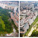
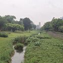
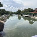
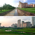
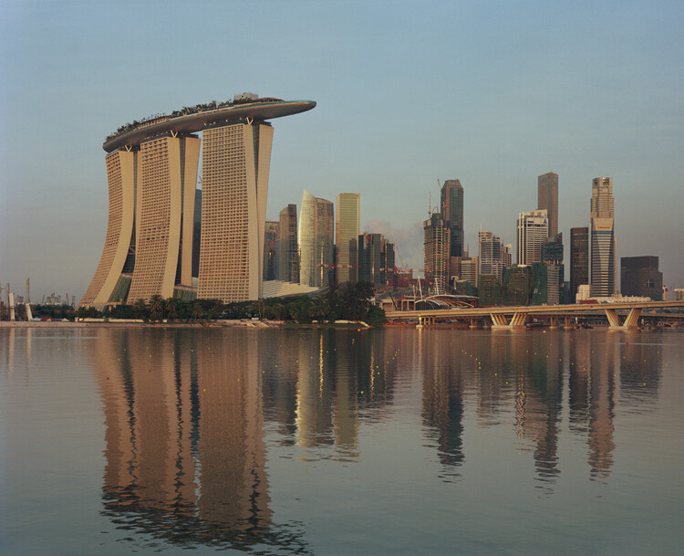
At Bishan–Ang Mo Kio Park in Singapore, a river does not occupy a fixed boundary. Under ordinary conditions, water moves through a naturalized channel bordered by grass, planting, and paths that bring visitors close to the river. During heavy rainfall, water spreads into the surrounding park, which is designed to accommodate flows beyond the capacity of the narrower channel. What appears to be a public landscape is also working infrastructure. Singapore's approach retains drainage engineering while assigning a wider role to the land around it.

For decades, Singapore's network of concrete canals has been central to managing stormwater in a densely developed city exposed to intense tropical rainfall. Their hard surfaces and defined channels were designed to convey water efficiently. These channels moved stormwater efficiently, but offered limited space for public access, planting, or other uses along the water's edge. Through its Active, Beautiful, Clean Waters (ABC Waters) Programme, launched in 2006, Singapore began integrating waterways with parks, ecological systems, and public spaces. The programme links stormwater management with the design of parks, waterways, and public spaces.

Planned Overflow: How Singapore Balances Floods, Canals, and Public Space - Image 1 of 4Planned Overflow: How Singapore Balances Floods, Canals, and Public Space - Image 2 of 4Planned Overflow: How Singapore Balances Floods, Canals, and Public Space - Image 3 of 4Planned Overflow: How Singapore Balances Floods, Canals, and Public Space - Image 4 of 4Planned Overflow: How Singapore Balances Floods, Canals, and Public Space - More Images+ 5

Stefano Boeri Architetti Selected to Transform Former Locomotive Factory into Green Neighbourhood in Tbilisi

Audio available

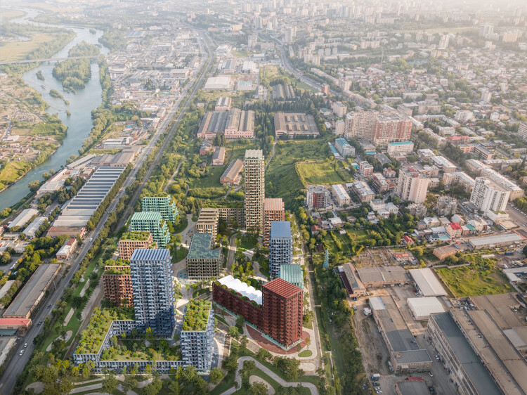
The LOCO Alliance architectural competition in Tbilisi, Georgia, was organized to transform a 73,600 m² brownfield site, the former Soviet-era Tbilisi Electric Locomotive Manufacturing Plant in the "Temka" residential area, into a new green neighborhood and cultural destination called Loco Park. On October 18, 2026, LOCO Alliance officially announced Stefano Boeri Architetti's design as the selected project for the site's transformation, with the official masterplan images unveiled on October 23. The selected masterplan is designed to integrate the industrial heritage of the factory with contemporary architecture, dense green public spaces and community recreation hubs. The site is already hosting large-scale cultural events, organized in parallel with the formal masterplan competition.

Stefano Boeri Architetti Selected to Transform Former Locomotive Factory into Green Neighbourhood in Tbilisi - 1 的图像 4Stefano Boeri Architetti Selected to Transform Former Locomotive Factory into Green Neighbourhood in Tbilisi - 2 的图像 4Stefano Boeri Architetti Selected to Transform Former Locomotive Factory into Green Neighbourhood in Tbilisi - 3 的图像 4Stefano Boeri Architetti Selected to Transform Former Locomotive Factory into Green Neighbourhood in Tbilisi - 4 的图像 4Stefano Boeri Architetti Selected to Transform Former Locomotive Factory into Green Neighbourhood in Tbilisi - More Images+ 1

Subscriber Access

Inherited Ground: Designing Houses on Contaminated Land

Audio available

Industrial activity can end long before its effects disappear from the land. Factories close, buildings are demolished, and former industrial districts gradually become part of new residential developments. Yet the soil beneath them may still contain traces of their previous use, sometimes requiring extensive intervention before construction can begin.

Redeveloping these sites raises a question about how much of the existing ground can remain and what it takes to build housing above it. The extent of contamination affects what must happen before construction begins, while the cost of preparing the land can influence the development itself. Much of this work eventually disappears beneath the completed buildings, leaving little indication of the site's previous condition.

Inherited Ground: Designing Houses on Contaminated Land - Image 1 of 4Inherited Ground: Designing Houses on Contaminated Land - Image 2 of 4Inherited Ground: Designing Houses on Contaminated Land - Image 3 of 4Inherited Ground: Designing Houses on Contaminated Land - Image 4 of 4Inherited Ground: Designing Houses on Contaminated Land - More Images+ 17

Subscriber Access

Urban Agoras: How Skateparks Can Give Public Space Back to the City

Audio available

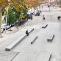
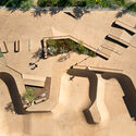
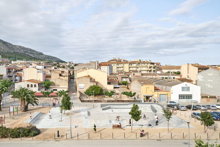
Created by California surfers who wanted to bring the lines of surfing onto asphalt, skateboarding soon outgrew its role as a simple alternative for flat days. It established itself as a practice that reads the city through a different logic, reinterpreting steps, handrails, walls, and interstitial spaces as possible lines, challenges, and opportunities. Over time, it evolved into a global urban culture, a way of inhabiting and transforming public space through movement. What was once marginal has become a catalyst for community building and new uses for overlooked spaces. At its core, skateboarding reveals how many cities coexist within the same city, depending on who moves through them and how each person is able to reinterpret their surroundings.

Urban Agoras: How Skateparks Can Give Public Space Back to the City - Image 1 of 4Urban Agoras: How Skateparks Can Give Public Space Back to the City - Image 2 of 4Urban Agoras: How Skateparks Can Give Public Space Back to the City - Image 3 of 4Urban Agoras: How Skateparks Can Give Public Space Back to the City - Image 4 of 4Urban Agoras: How Skateparks Can Give Public Space Back to the City - More Images+ 21

“Cities Are Mental Weapons”: Utopian Hours 2026 Returns to Turin with Sir Peter Cook and a Program on City-Making

Audio available

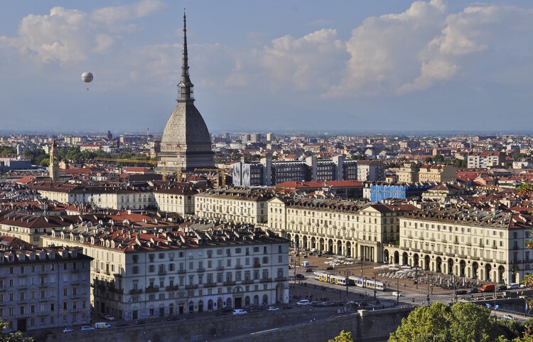
The second part of the Utopian Hours 2026 international city-making festival will be held in Turin on October 16 and 17. After a first chapter in Rotterdam, the festival is marking its tenth anniversary edition by returning to its hometown in Italy. The event's lineup and cultural program are designed to explore how cities can respond creatively to the social, environmental, and political challenges of the 21st century. The Utopian Hours festival has been organized since 2017 by Stratosferica, a nonprofit cultural association dedicated to producing and sharing urban knowledge through content on the evolution of cities, urban communication strategies, events, community building and placemaking.

“Cities Are Mental Weapons”: Utopian Hours 2026 Returns to Turin with Sir Peter Cook and a Program on City-Making - Image 1 of 4“Cities Are Mental Weapons”: Utopian Hours 2026 Returns to Turin with Sir Peter Cook and a Program on City-Making - Image 2 of 4“Cities Are Mental Weapons”: Utopian Hours 2026 Returns to Turin with Sir Peter Cook and a Program on City-Making - Image 3 of 4“Cities Are Mental Weapons”: Utopian Hours 2026 Returns to Turin with Sir Peter Cook and a Program on City-Making - Image 4 of 4“Cities Are Mental Weapons”: Utopian Hours 2026 Returns to Turin with Sir Peter Cook and a Program on City-Making - More Images+ 1

Subscriber Access

Designing the In-Between: From Neighborhood Vision to Urban Policy in Barcelona

Audio available

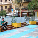
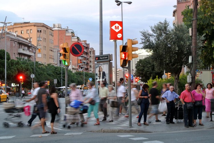
In Europe, cities are confronting the challenge of adapting existing urban conditions to a changing climate and warming summers while improving access to nature, quality public spaces, and the resources of everyday routines. ReGreeneration, a Horizon Europe initiative working across nine European cities, approaches this challenge through urban renaturing at the neighborhood scale. Combining strategies for complete neighborhoods, communal spaces, and nature-based solutions for cities, the Barcelona project examines how climate adaptation is embedded within residual, peripheral spaces of daily life. As part of a series following ReGreeneration across the participating cities, this article turns to Barcelona, where the project is working in the Trinitat Nova neighborhood to explore how small, often overlooked, urban spaces contribute to broader models of regeneration.

Designing the In-Between: From Neighborhood Vision to Urban Policy in Barcelona - Image 5 of 4Designing the In-Between: From Neighborhood Vision to Urban Policy in Barcelona - Image 6 of 4Designing the In-Between: From Neighborhood Vision to Urban Policy in Barcelona - Image 7 of 4Designing the In-Between: From Neighborhood Vision to Urban Policy in Barcelona - Image 1 of 4Designing the In-Between: From Neighborhood Vision to Urban Policy in Barcelona - More Images+ 32

Unearthing the Ground: Architecture and the Politics of Waste

Audio available

In 1948, Robert Moses established the Fresh Kills Landfill on the western shore of Staten Island. The site, chosen for its remote marshland and cheap land value, was meant to be temporary, but by 1955 it was the largest landfill in the world, receiving up to 29,000 tons of refuse per day at its 1991 peak. By 2001, after more than fifty years of continuous operation, Fresh Kills covered 2,200 acres, roughly three times the area of Central Park, and was, unspectacularly, visible from space. When it started, Moses didn't expect to design a dump but, without calling it that, a new landform with four artificial hills rising up to sixty meters above sea level built entirely from the accumulated residue of eight million daily lives.

That landform is now, slowly, becoming a park. James Corner Field Operations won the international design competition launched by the city in 2001, producing a master plan called Lifescape that will take thirty years to complete. The landfill's four mounds are being capped, planted, and gradually opened to the public. Methane from decomposing waste is captured and fed into an energy system as the wetlands are being restored around the engineered hills. Evidence of New York's consumption transformed into a feat of ecological engineering and an act of institutional memory management (a way of making a city's most embarrassing landscape slowly look like something it was always meant to be).

Unearthing the Ground: Architecture and the Politics of Waste - Image 1 of 4Unearthing the Ground: Architecture and the Politics of Waste - Image 2 of 4Unearthing the Ground: Architecture and the Politics of Waste - Image 3 of 4Unearthing the Ground: Architecture and the Politics of Waste - Image 4 of 4Unearthing the Ground: Architecture and the Politics of Waste - More Images+ 10

From Buildings to Worldbuilding: Designing the Narratives of Space

Audio available

The most innovative and impactful design projects arise from the intersection of different fields. The architecture community has always borrowed from, or been inspired by, other forms of cultural production such as film, photography, literature, and theatre. In the theatricality of Baroque churches and the cinematic sequences of contemporary museums, architects have looked beyond the building itself to understand how space can shape a story and construct an experience.

Worldbuilding takes this one step further. Instead of designing only the architecture of a place, it asks architects to establish the social rules, narratives, technologies, economies, atmospheres, behaviors, and relationships that make that place believable. Rather than beginning with, "What should this building look like?", worldbuilding suggests beginning with, "In what kind of world would this building make sense?"

From Buildings to Worldbuilding: Designing the Narratives of Space - Image 1 of 4From Buildings to Worldbuilding: Designing the Narratives of Space - Image 2 of 4From Buildings to Worldbuilding: Designing the Narratives of Space - Image 3 of 4From Buildings to Worldbuilding: Designing the Narratives of Space - Image 4 of 4From Buildings to Worldbuilding: Designing the Narratives of Space - More Images+ 2

Subscriber Access

Necessity as Invention: Ireland's Laboratory of Renovation

Audio available

The landscape and scattered settlements of Ireland carry a reputation for wildness. Rugged cliffs meet the Atlantic, green fields roll across the interior, and rain and wind change the scene by the hour. A closer look reveals a worked terrain as historic stone walls divide agricultural fields, roads and paths connect towns to the coast, and castle ruins alongside cottages record centuries of occupation. Change is the expected condition of the island, shaped as much by human hands as by geology and weather, and the practice of treating the existing context as material to adapt and modify runs deep.

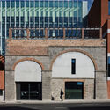
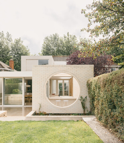
Ireland has a large inherited building stock, from vernacular cottages and farm compounds to Georgian and Victorian urban terraces, while a growing share of it sits vacant or derelict as housing remains scarce and expensive. Planning and heritage protections shape what can be altered, while growing attention to embodied carbon makes demolition increasingly difficult to justify. Under these pressures, design strategies for renovation are one of the most inventive areas of contemporary Irish design. Architects cut into old structures to admit light, set new materials against aged ones, and redesign buildings for contemporary lives and routines.

Necessity as Invention: Ireland's Laboratory of Renovation - Image 1 of 4Necessity as Invention: Ireland's Laboratory of Renovation - Image 2 of 4Necessity as Invention: Ireland's Laboratory of Renovation - Image 3 of 4Necessity as Invention: Ireland's Laboratory of Renovation - Image 4 of 4Necessity as Invention: Ireland's Laboratory of Renovation - More Images+ 32

Danish Architecture Center Celebrates Urbanist Jan Gehl's 90th Birthday with a Calendar of Activities and an Exhibition

Audio available

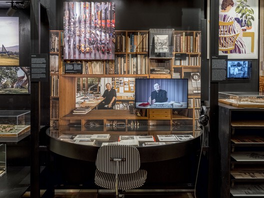
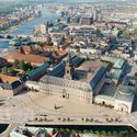
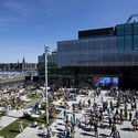
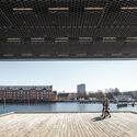
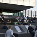
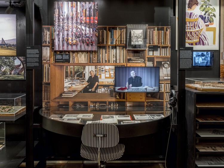
For the second year running, Copenhagen was named the world's most livable city in the 2026 Economist Intelligence Unit's Global Liveability Index. According to the Danish Architecture Center, part of this progress in urban quality of life is due to the work of Danish architect and urban planner Jan Gehl, who celebrates his 90th birthday this year. Jan Gehl has dedicated his professional career to the field of city life and people-centered urban development, founding Gehl Architects (now Gehl Studio) in 2000 and publishing extensively on urban design methodologies to create lively, healthy, and human-centric urban environments. In honor of his birthday, the Danish Architecture Center is presenting an exhibition and a series of activities centered on the role he has played in urban development worldwide.

Danish Architecture Center Celebrates Urbanist Jan Gehl's 90th Birthday with a Calendar of Activities and an Exhibition - Image 1 of 4Danish Architecture Center Celebrates Urbanist Jan Gehl's 90th Birthday with a Calendar of Activities and an Exhibition - Image 2 of 4Danish Architecture Center Celebrates Urbanist Jan Gehl's 90th Birthday with a Calendar of Activities and an Exhibition - Image 3 of 4Danish Architecture Center Celebrates Urbanist Jan Gehl's 90th Birthday with a Calendar of Activities and an Exhibition - Image 4 of 4Danish Architecture Center Celebrates Urbanist Jan Gehl's 90th Birthday with a Calendar of Activities and an Exhibition - More Images+ 4

SIITUA III | International Seminar on Research in Territory, Urbanism, and Architecture

3rd International Seminar on Territory, Urbanism, and Architecture Research – SIITUA III

Escaping Systems: Architecture Beyond Familiar Ground

Audio available

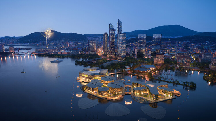
Cities depend on systems that already exist around them. When architects design on water or beyond Earth, those systems are no longer available. Without fixed ground or nearby networks for energy, water, transport, and waste, architecture has to take on functions the larger city would normally provide.

The reason for moving beyond familiar ground also changes from one project to another. In the Maldives, building on water responds to the vulnerability of existing land. In Busan, floating development creates another direction for urban expansion. On the Moon, the challenge is more absolute: there is no existing infrastructure to connect to at all.

Escaping Systems: Architecture Beyond Familiar Ground - Imagen 1 de 4Escaping Systems: Architecture Beyond Familiar Ground - Imagen 2 de 4Escaping Systems: Architecture Beyond Familiar Ground - Imagen 3 de 4Escaping Systems: Architecture Beyond Familiar Ground - Imagen 4 de 4Escaping Systems: Architecture Beyond Familiar Ground - More Images+ 9

Subscriber Access

Asmara Heritage Project: Documenting a Colonial Project that Became Eritrea's National Symbol

Audio available

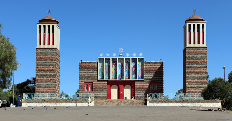
Asmara, the capital of Eritrea, sits at over 2,300 meters above sea level on a plateau at the edge of the Great Rift Valley escarpment. Although situated in a country not known for large visitor numbers, the city has gained fame for its unique architecture. In July 2017, it became a UNESCO World Heritage Site, inscribed as "Asmara: A Modernist African City," the first modernist urban site anywhere to be listed in its entirety, and Africa's first explicitly modernist World Heritage Site. Its heritage value came about as a result of a complex convergence of two aspects of Eritrea's history: an intense period of colonial construction as Italy pursued its imperial ambitions in Africa, and a long period of relative isolation that insulated the city from redevelopment.

Asmara Heritage Project: Documenting a Colonial Project that Became Eritrea's National Symbol - Image 1 of 4Asmara Heritage Project: Documenting a Colonial Project that Became Eritrea's National Symbol - Image 2 of 4Asmara Heritage Project: Documenting a Colonial Project that Became Eritrea's National Symbol - Image 3 of 4Asmara Heritage Project: Documenting a Colonial Project that Became Eritrea's National Symbol - Image 4 of 4Asmara Heritage Project: Documenting a Colonial Project that Became Eritrea's National Symbol - More Images+ 8

ZHA-Led Team Reveals Vision and Digital Planning Hub for Benghazi's 2050 City Plan in Libya

Audio available

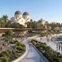
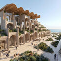
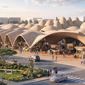
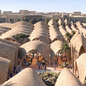
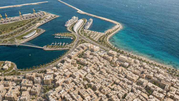
A team composed of ZHA, A&O TEC, Prior + Partners, Homa, Buro Happold, Systematica, and Fichtner recently unveiled its concept proposal for the "Next Generation City Plan" for Benghazi, Libya. The project aims to bring together the historic port city's identity-defining features with the planning technologies required to guide its development toward 2050, in a context of rapid urbanization. The proposal, developed for A&O TEC, includes a Vision and Spatial Strategy, which consists of an interpretation of the city's character and collective memory translated into an adaptable framework for development, and a Digital Planning Hub, an evidence-based model mapping the city to identify its potential and the phenomena shaping its growth.
ZHA-Led Team Reveals Vision and Digital Planning Hub for Benghazi's 2050 City Plan in Libya - Image 1 of 4ZHA-Led Team Reveals Vision and Digital Planning Hub for Benghazi's 2050 City Plan in Libya - Image 2 of 4ZHA-Led Team Reveals Vision and Digital Planning Hub for Benghazi's 2050 City Plan in Libya - Image 3 of 4ZHA-Led Team Reveals Vision and Digital Planning Hub for Benghazi's 2050 City Plan in Libya - Image 4 of 4ZHA-Led Team Reveals Vision and Digital Planning Hub for Benghazi's 2050 City Plan in Libya - More Images+ 13