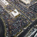
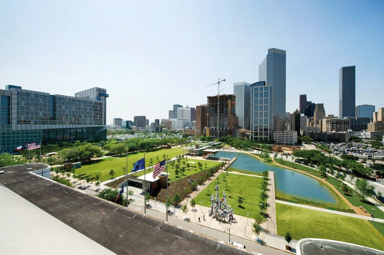
Every housing crisis eventually becomes a land question, and every land question eventually becomes a values question. The United States' West Coast has arrived at that point. As cities from Los Angeles to Seattle search for parcels to build the affordable housing they have promised for years, they keep landing on the same answer: the park or the greenbelt. What looks like a zoning decision is a referendum on which form of wellbeing a city is willing to sacrifice for another.
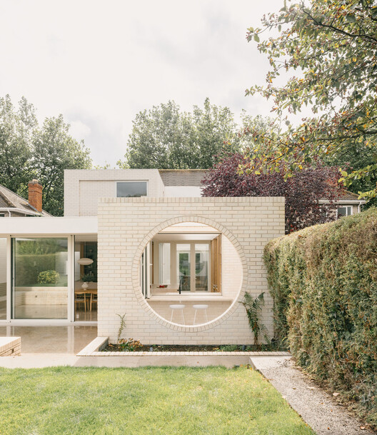
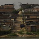
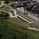
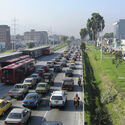
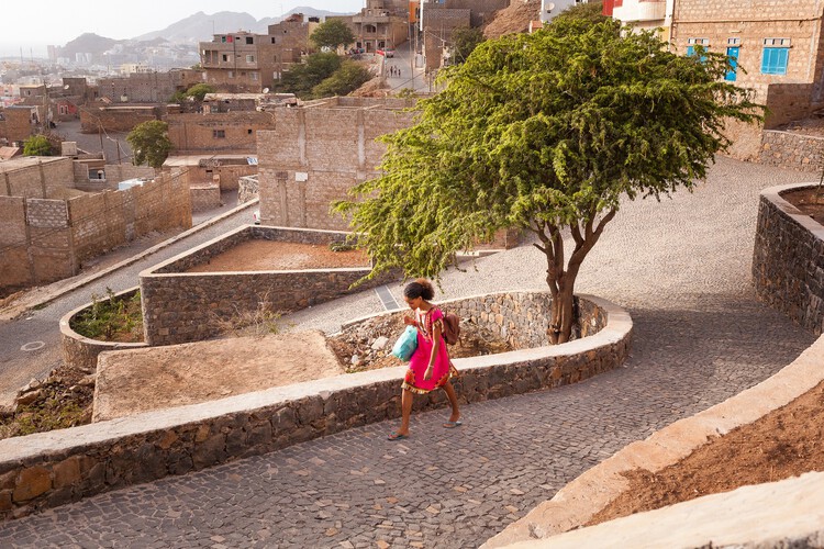
Mexico's rapid urban growth over recent decades has left many cities struggling with fragmented neighborhoods, high crime rates, and severe shortages of quality public spaces. In many low-income urban areas, informal development occurred alongside raw infrastructure like drainage canals, rail lines, and steep ravines, dividing communities and creating hazardous vacant zones. To address this spatial segregation and lack of civic amenities, public agencies and architects across Mexico are intervening in these abandoned buffer zones to construct public parks. By converting former physical barriers into accessible pedestrian corridors, these projects rejoin separated neighborhoods, re-establish safe visual sight lines, and provide spaces for community gathering and daily recreation.
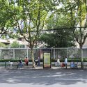
Water management, air quality, and heat mitigation are usually planned through systems much larger than the spaces where people actually experience them. Drainage networks sit below the street. Air pollution is measured across entire cities. Yet these conditions are felt much closer to the body: while waiting for a bus in the sun, walking through a flooded street, crossing an exposed plaza, or looking for somewhere to sit when the air itself feels difficult to breathe.
Heat makes this question especially urgent. As cities become warmer, streets, parks, transit areas, and other public spaces are increasingly becoming sites where design can reduce exposure through shade, planting, airflow, and water. For architecture, that brings part of climate adaptation into the spaces people use every day.
Elia Zenghelis. Photo: Harvard Graduate School of Design
Elia Zenghelis, Greek architect, co-founder of the Office for Metropolitan Architecture (OMA), and one of the most influential architectural educators of the late twentieth century, died on August 30, 2026, at the age of 89. His death marks the passing of a figure whose influence on architectural thought extended far beyond the buildings he designed, shaping the intellectual formation of several generations of architects through decades of teaching across Europe and the United States.
Born in Athens in 1937, Zenghelis studied architecture at the Architectural Association School of Architecture in London, completing his studies in 1961. He joined the practice of Douglas Stephen and Partners, where he worked until 1971, while simultaneously beginning to teach at the AA in 1963. At the school, he became a prominent voice for a more radical, avant-garde architectural discourse, helping to transform the AA into a fertile ground for radical ideas.
Louisville's Belvedere in Kentucky is a 53-year-old gathering place for concerts, festivals, and community events. The elevated concrete plaza was built on top of the city's largest parking structure and stands over a major highway overpass. Since 1973, it has functioned as a riverfront civic space for events and large gatherings, but its use as a casual public space is in evident decline. In its current state, the space lacks shade, greenery, and amenities, while the concrete deck has worn over the years. In February 2025, Heatherwick Studio unveiled the first images of its vision to transform the Belvedere, a project commissioned by the city's mayor and the Louisville Metro Government. This week, the firm released new images of the redesign as an open, green, and flexible space connected to downtown Louisville.
The Canadian Centre for Architecture (CCA) is presenting "The fortune of the city is that it has never been perfect," an exhibition dedicated to the urban work of Portuguese architect Álvaro Siza. On view in the institution's Main Galleries from May 21, 2026, to January 10, 2027, the exhibition examines Siza's approach to city-making through a selection of projects that engage with the historical, social, and physical conditions of existing urban environments.
Curated by Giovanna Borasi with Laura Aparicio Llorente as curatorial assistant, the exhibition explores how Siza's architectural practice extends beyond the design of individual buildings to encompass neighborhoods, public spaces, and broader urban structures. Rather than presenting the city as a fixed or idealized condition, the exhibition focuses on Siza's method of working with existing contexts, considering history, topography, infrastructure, and everyday life as fundamental components of the design process. Through this perspective, the exhibition reflects on questions surrounding urban transformation, the continuity of the built environment, and the relationship between architecture and planning.
The Grand Paris Express project consists of 200 kilometers of new, fully automated metro lines, 68 new stations, and four new orbital lines (15, 16, 17, and 18), in addition to the extension of Line 14. The network is being delivered in phases between 2024 and 2031: Line 14's 8 stations are fully operational following its 2024 extension, Line 18 is the most advanced of the new lines, with testing underway ahead of its first opening, and civil engineering is largely complete on many sections, with tracks, systems, architectural fit-out, and testing now progressing station by station. Each of the 68 stations is assigned to a specific architect or architectural team, sometimes in collaboration with landscape architects for above-ground elements.
"Map the New World" is the motto of Project PLATEAU, led by Japan's Ministry of Land, Infrastructure, Transport and Tourism (MLIT), to develop and expand access to 3D models representing the diversity of cities across the country. Japan comprises a total of 744 cities, including 14 with populations exceeding one million, 190 with between 100,000 and one million inhabitants, and 540 with populations between 10,000 and 100,000. To date, 3D models of more than 250 cities have been made available as open data through the country's public G-Spatial Information Center, and can also be accessed via an online browser viewer. According to public authorities, the project aims to strengthen urban resilience by providing society with new tools to address local challenges. This involves not only urban space modeling but also collaboration with local governments, private companies, and technology communities. The project also includes a digital reconstruction of the recently closed Osaka World Expo site.
Times Litfest Delhi 2017, held at the India Habitat Centre, in New Delhi, November 26, 2017 by DiplomatTesterMan . Image Courtesy of Wikimedia (public domain)
Every democracy eventually confronts the same question: where can its citizens speak?
Public squares, marches and demonstrations have served as the most visible and impactful expressions of collective opinion. There persists a growing desire among citizens to be seen and heard in the public domain. Demonstrations, by their very nature, are moments of urgency, emerging when conversations have reached an impasse. While essential to democracy, they cannot be its only language.
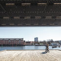
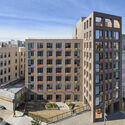
For most children, the journey to school is an everyday geography of street life and traffic, repeated so often that it becomes almost invisible, folded into the background of childhood and growing up. Yet for cross-boundary students who live in Shenzhen and attend school in Hong Kong, the school day begins much earlier, and much farther from the classroom. It begins at the border.
Their commute is not simply a matter of distance. It is shaped by two legal systems, two administrative cultures, and a set of infrastructures designed to make daily crossing a little bit more feasible for individuals under 18. On a typical morning, the route to school may pass through a boundary control point before it reaches a classroom. It may involve a government-approved school coach, a restricted access road, an immigration hall, a fingerprint scanner, or a clearance procedure that takes place while the child remains seated on the bus. What appears from a distance as a school commute is, in spatial terms, a carefully managed architectural corridor between two cities.
A trainera under the transporter Bizkaia Bridge. Image via Wikipedia user: Javier Mediavilla Ezquibela Licensed under CC BY-SA 3.0
What role do transportation infrastructures play in shaping the culture and economy of societies? How do they bridge cultural, ideological, and geographic divides while transforming the lives of the communities they serve? One of the most remarkable iron structures of the European Industrial Revolution stands west of Bilbao, spanning the Nervión River at the mouth of the Ibaizabal Estuary. It is the Bizkaia Bridge, which combines nineteenth-century ironworking traditions with the innovative use of lightweight alternating-twist steel cables. Recognized as the world's first transporter bridge, it became a model for similar structures built throughout Europe, Africa, and the Americas.
Constructed to connect the opposite banks of the Nervión estuary, it was the first bridge in the world to allow ships, passengers, and vehicles to cross simultaneously by means of a suspended gondola. This innovative system improved communication between two small seaside resort towns while allowing uninterrupted navigation through one of Europe's busiest inland ports.
As co-living becomes increasingly associated with students, young professionals, and other mobile residents, it raises a broader architectural question: if home is no longer tied to long-term residence, what should architecture expect the private dwelling to provide?
People move for school, for a temporary job, or for a career that keeps taking them somewhere new. Many now expect to spend a defined period in a place before leaving it. Housing built for them has to do more than provide shelter. It has to support the routines through which someone adapts to an unfamiliar place, in the short time they know they have there. A year in a city asks something different of an apartment than a lifetime does, even if the square meters look the same on paper.
p>Understanding play as a social catalyst and an influential factor in defining public space, urban life is shaped by diverse individuals of different ages, cultures, ideologies, interests, classes, and social groups. Thinking about how play inhabits cities means thinking about all generations, and about the need to build public spaces with urban equipment designed to last and be maintained over time.
The performance of play structures invites us to review the different stages of their life cycle alongside their impact on shaping the urban environment. Analyzing the life cycle of urban play equipment involves understanding everything from materials, durability, and maintenance to the role of certifications and technologies applied in their production process, within environments that are increasingly conscious of their environmental impact.
In many Latin American cities, peripheral neighborhoods have historically had less access to the resources that make urban life more than just livable. Housing, transportation, and public services are the usual markers of that gap. But there is another gap that is harder to quantify: the absence of places where people can gather, learn, rest, and participate in collective life. When those spaces do not exist, the city not only fails to provide a service. It fails to acknowledge a presence.
In recent decades, a growing number of projects have tried to address that absence directly. Rather than focusing only on physical infrastructure, they invest in spaces designed to support education, culture, recreation, and community, often merging several of those functions within a single building in neighborhoods where those spaces are otherwise limited.
Faced with the reality that climate change is making cities increasingly unlivable, citizens are confronted with the choice of either leaving or transforming their environments. The unbuilt projects compiled in this article offer transformative alternatives for more livable cities, combining construction, architectural, and landscape design strategies across urban parks and suburban interstitial spaces. As ecological laboratories, they incorporate a multispecies perspective into the design process, adopting a concept of time better suited to the development of ecosystems.