Lagos is a city shaped by time, human interaction, the forces of nature, and its evolving, sometimes uneasy relationship with all three. Nowhere is this more visible than when the rain comes.
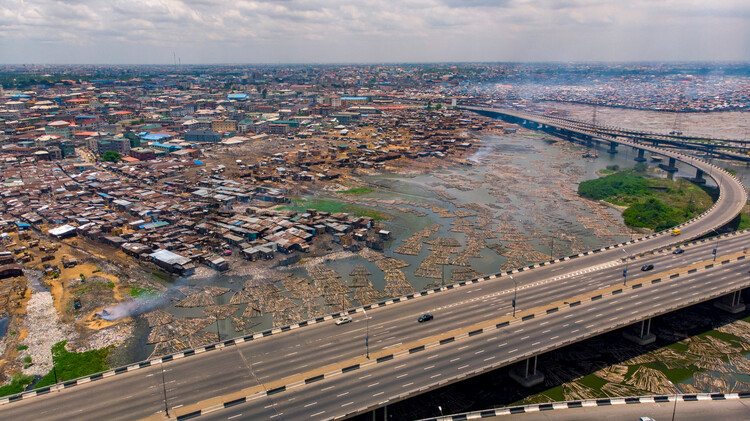
Eko sits on a floodplain. Its geographical condition predates the city itself, reaching back to a time before the first road was laid, the first boundary drawn. The drainage systems, the developments that have gradually become privatised waterfronts, are all built on a landscape that has always been, at its foundation, in continuous conversation with water. The flood is not an anomaly; it is the land insisting on a dialogue that was always going to return.
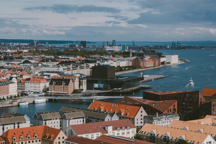
Global city rankings offer one way of looking at how urban environments support everyday life. The Economist Intelligence Unit's (EIU) Global Liveability Index evaluates 173 cities across stability, healthcare, culture and environment, education, and infrastructure, highlighting both long-term patterns and changes from one year to the next. In the 2026 edition, Copenhagen has been named the world's most liveable city for the second consecutive year, followed by Vienna and Melbourne. The Danish capital scored 98 out of 100 overall, receiving perfect scores in stability, education, and infrastructure. The global average remains unchanged at 76.1, with improvements in healthcare, education, and infrastructure offsetting continued declines in stability.
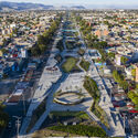
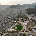
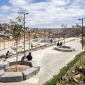
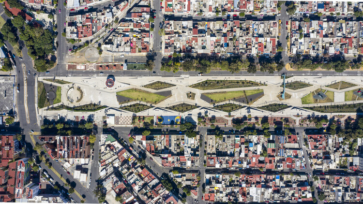
Mexico's rapid urban growth over recent decades has left many cities struggling with fragmented neighborhoods, high crime rates, and severe shortages of quality public spaces. In many low-income urban areas, informal development occurred alongside raw infrastructure like drainage canals, rail lines, and steep ravines, dividing communities and creating hazardous vacant zones. To address this spatial segregation and lack of civic amenities, public agencies and architects across Mexico are intervening in these abandoned buffer zones to construct public parks. By converting former physical barriers into accessible pedestrian corridors, these projects rejoin separated neighborhoods, re-establish safe visual sight lines, and provide spaces for community gathering and daily recreation.
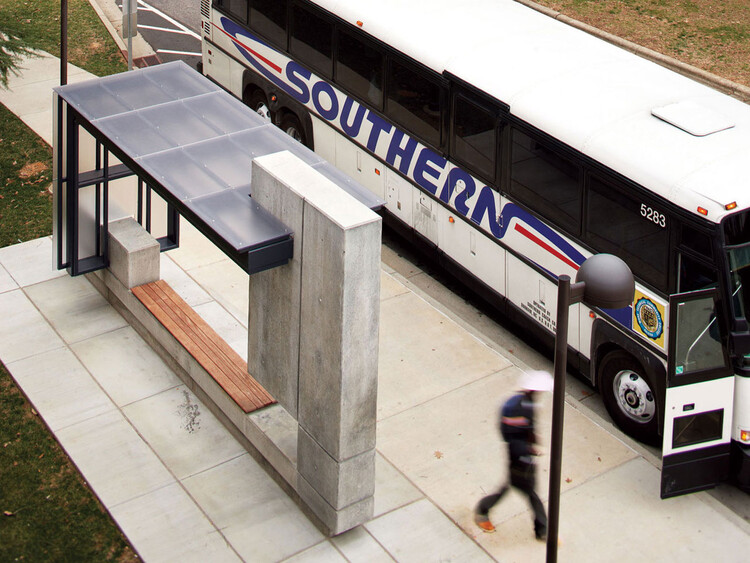
Water management, air quality, and heat mitigation are usually planned through systems much larger than the spaces where people actually experience them. Drainage networks sit below the street. Air pollution is measured across entire cities. Yet these conditions are felt much closer to the body: while waiting for a bus in the sun, walking through a flooded street, crossing an exposed plaza, or looking for somewhere to sit when the air itself feels difficult to breathe.
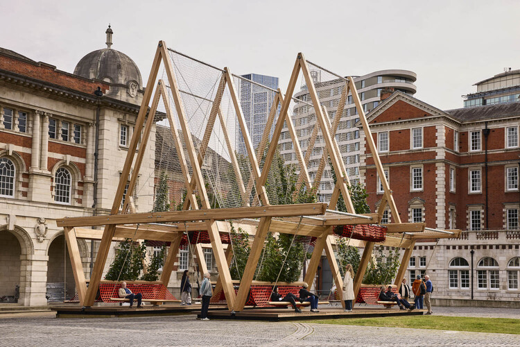
Heat makes this question especially urgent. As cities become warmer, streets, parks, transit areas, and other public spaces are increasingly becoming sites where design can reduce exposure through shade, planting, airflow, and water. For architecture, that brings part of climate adaptation into the spaces people use every day.
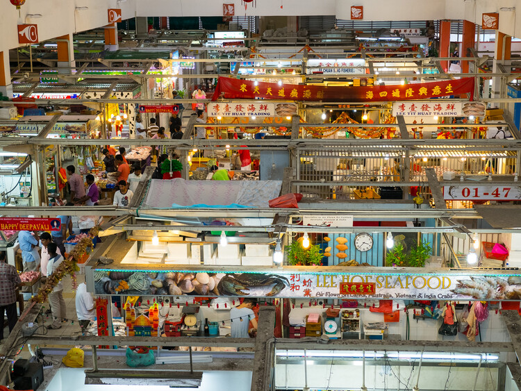
In many Asian cities, eating has never belonged entirely to the private home. It spills into markets, hawker centers, street stalls, and wholesale districts embedded within larger buildings or areas. These are places where the city exchanges information and watches other people pass through. They are not restaurants in the conventional sense, nor are they simply markets. In some way, their vibrancy and usage reflect the society's conditions at that moment. They are public kitchens: shared infrastructures where domestic routines are partially transferred into collective space.
Hong Kong's Municipal Services Buildings and curbside dining are where food is understood not only as culture, but as urban organization. The cooked-food center in the city folds eating into a larger civic machine of wet markets, libraries, and sports halls. The dai pai dong and street-side table, meanwhile, transform the curb into a temporary dining room. Looking beyond Hong Kong, similar questions emerge across the region. How do cities make room for social eating? Where does cooking happen when domestic space is limited? What kind of architecture supports the mess and heat of everyday food?
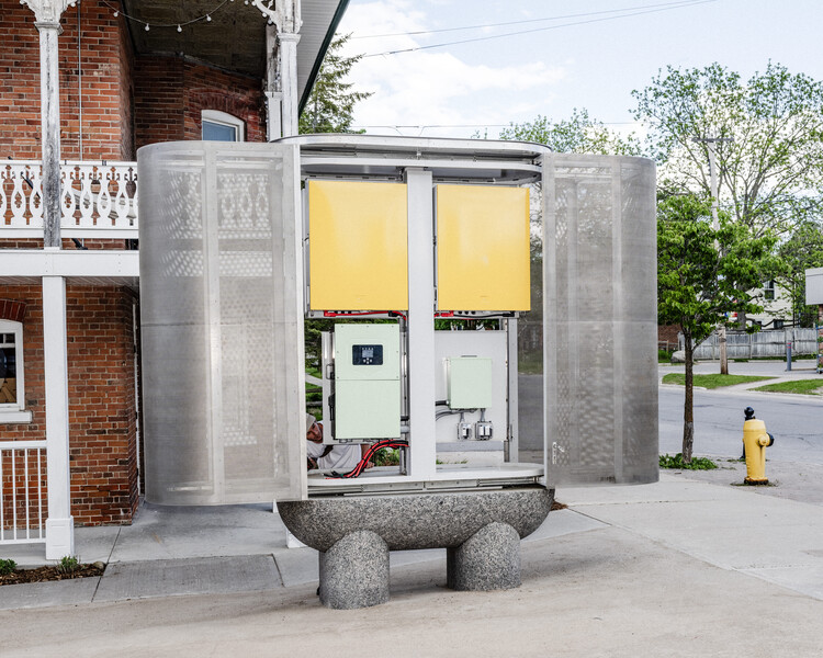
Against a backdrop of climate change, inflation, and armed conflict, the global energy system is undergoing change and facing scrutiny. As stated by the United Nations, buildings must be heated, lit, and electrified through clean, accessible, affordable, sustainable, and reliable power sources. Architecture and urban planning can contribute both to expanding energy access and to exploring different forms of storage. The Toronto-based startup Civic Grid designs and builds energy storage systems with the aim of changing the relationship communities have with the electrical power behind everyday life. Their first architectural battery was designed as public architecture by architects Jack Self and Josh Harskamp with industrial designer Max Fine. The prototype is the evolution of a deployable energy system developed with Lisbon Civil Defence for the Lisbon Architecture Triennale 2025, still in operation, and is paired with a scale model.
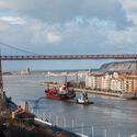
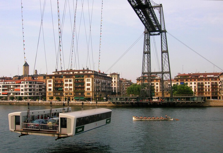
A trainera under the transporter Bizkaia Bridge. Image via Wikipedia user: Javier Mediavilla Ezquibela Licensed under CC BY-SA 3.0
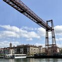
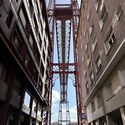
What role do transportation infrastructures play in shaping the culture and economy of societies? How do they bridge cultural, ideological, and geographic divides while transforming the lives of the communities they serve? One of the most remarkable iron structures of the European Industrial Revolution stands west of Bilbao, spanning the Nervión River at the mouth of the Ibaizabal Estuary. It is the Bizkaia Bridge, which combines nineteenth-century ironworking traditions with the innovative use of lightweight alternating-twist steel cables. Recognized as the world's first transporter bridge, it became a model for similar structures built throughout Europe, Africa, and the Americas.
Constructed to connect the opposite banks of the Nervión estuary, it was the first bridge in the world to allow ships, passengers, and vehicles to cross simultaneously by means of a suspended gondola. This innovative system improved communication between two small seaside resort towns while allowing uninterrupted navigation through one of Europe's busiest inland ports.
An informal vendor selling balloons along La Séptima in the Plaza de Bolívar. "Bogota, Colombia" by szeke is licensed under CC BY-SA 2.0
This article is the winning entry of the Epistle Writing Prize 2025, an annual competition dedicated to recognizing outstanding writing on design, architecture, and the environment.
It's wet season, but this morning's downpour does little to deter the rhythm along La Carrera Séptima. Cyclists and pedestrians weave past ambulatory vendors with carts of avocados, ginger sweets, and phone cases. Toy cars, lightbulbs, and hand-beaded jewelry glisten with raindrops, arranged neatly on tarps that demarcate vendors' territories. Police officers approach a recycler gathering bottles; a tourist bargains for a jacket; two women find each other in the middle of the road, embracing as their coats grow heavy with rain.
La Séptima, or Bogotá's Seventh Avenue, is the most emblematic road in Bogotá, traversed by more than two million people every day. Along this single road — part marketplace, part protest route, part transportation hub — Bogotá's history unfolds. For nearly a year, I traced its rhythms as a pedestrian, commuter, inhabitant, and researcher. In all these moments and their historical incarnations, one image endured: the road is a living body. It is imagined as Bogotá's backbone, its vital artery, its heart. It bleeds, bears scars, and demands care.
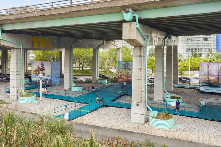
Elevation is often framed as progress, lifting movement above the friction of the city and smoothing circulation into uninterrupted flow. Every act of lifting produces a secondary condition in its wake. Beneath flyovers, metro lines, and railway viaducts, a second ground emerges as shaded, ambiguous, and rarely planned with the same intent as what moves above. These spaces are not incidental leftovers. They are the spatial consequence of a design decision that privileges speed, clearance, and efficiency, redistributing value and visibility across the city in the process.
What lies below is not empty. It is structured, constrained, and defined by infrastructure, left without a clear role. Studies on elevated highways consistently describe these undercroft zones as residual spaces, formed when transport systems are conceived independently of the ground they pass through. An Arup report on spaces beneath viaducts notes how they often disrupt pedestrian continuity while remaining outside formal planning frameworks. Similarly, recent academic reviews of under-flyover environments highlight that these areas are rarely integrated into urban design strategies at all. The result is a peculiar condition: space that is physically present and structurally determined, but programmatically undefined.
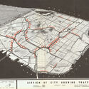
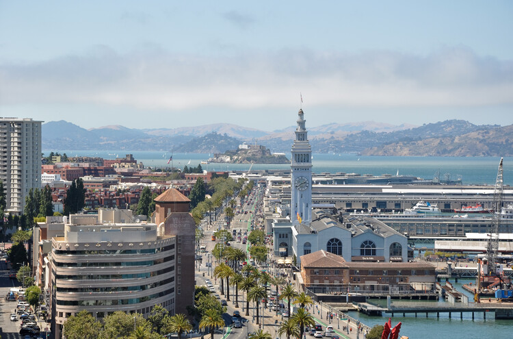
In recent decades, cities across the world have seen an increase in the demolition of elevated concrete freeways. Taipei, Seoul, Portland, and Boston, for example, have all seen the rise and fall of these infrastructures to give way to parks and new urban regeneration ideas. In other cases, like Montreal in Canada, some people opposed the freeways even before they were built, effectively rerouting viaducts, preserving heritage, and freeing waterfront views. For San Francisco, in the United States, the story of the Embarcadero Freeway is one of those narratives that serves as a case study of the city's mid-century infrastructural ambition, people's reaction to the project, and its eventual reversal in favor of urban connectivity.
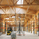
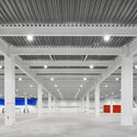
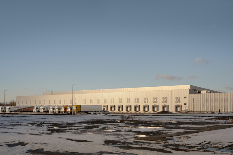
At the edge of most cities, beyond the ring roads and interchanges, a different kind of architecture is taking shape. It is not designed to be seen, visited, or remembered. It does not gather people; it moves things. Inside, thousands of parcels travel continuously, being sorted, lifted, scanned, and dispatched with minimal interruption. These buildings rarely enter architectural discourse, yet they are among the most consequential spaces of our time. The defining typology of the 21st century is increasingly the warehouse.
The scale of this transformation is difficult to grasp because it unfolds horizontally, across territories rather than skylines. Global warehouse space now exceeds tens of billions of square feet, expanding rapidly alongside the rise of e-commerce. During the COVID-19 pandemic, demand for logistics infrastructure accelerated by several years, compressing future growth into an already strained present. In India, the warehousing sector continues to grow at double-digit rates, reshaping peri-urban land into storage and distribution corridors. Logistics is no longer a background system; it is a territorial condition.
Architecture has traditionally been described as a discipline concerned with space, form, and material presence. Yet this understanding becomes increasingly limited when confronted with the conditions that shape contemporary construction. Buildings no longer emerge from a stable relationship between site, program, and material. Instead, they are produced within a dense web of technological systems that operate across territorial, ecological, and temporal scales. Energy networks, data infrastructures, extraction processes, and global logistics shape architecture as decisively as climate or urban context.
Seen from this angle, architecture is less a discrete object than a moment within a larger technical field. Supply chains, data systems, automated maintenance, and energy grids do not sit "behind" the built environment. In a certain way, they influence what can be built, what is affordable, how buildings perform over time, and what kinds of waste they produce. When architecture is assessed primarily through form, it risks overlooking the systems that condition its production and afterlife.
For centuries, large-scale infrastructure operated in the background. Ports, power plants, and energy facilities were positioned at the edges of cities, designed primarily for efficiency, and rarely considered part of civic life. Their function was indispensable, yet their architectural presence remained secondary. These structures supported urban growth and global exchange while maintaining a spatial distance from everyday urban experience.
Today, this condition is gradually shifting. As global trade intensifies and energy systems expand in complexity, the buildings that coordinate and house these networks are becoming more visible within the urban landscape. Rather than remaining neutral containers for technical operations, they begin to assert spatial identity. Infrastructure is no longer only operational; it is increasingly institutional, symbolic, and urban. The architecture that supports these systems now participates in how cities project themselves.
As artificial intelligence continues to disrupt sectors of the economy and reshape entire industries, institutions and individuals alike are bracing—and rapidly adapting—to the changes that machines seem to hold over our heads. Yet the more precise pressure is not simply AI altering the way people work and live, but the business models and investment logics of the companies developing these systems: the concentration of capital, the new requirements for compute, the race for compartmentalized talent, and the infrastructural footprint needed to sustain it. In the Greater Bay Area—anchored by Guangzhou, Shenzhen, and Hong Kong—this dynamic is especially pronounced. Government-led initiatives are actively accelerating the industry's growth, with policy and planning mechanisms beginning to translate an ostensibly intangible field into physical form: zoning updates, earmarked land, and the emergence of AI-oriented building types, from research laboratories to large-scale data centers.
How heavy is a house? In his 1965 essay A Home Is Not a House, Reyner Banham observed that modern American dwellings were becoming structurally lighter while growing heavier in mechanical services, such as plumbing, wiring, heating, and cooling. The true weight of architecture, he argued, was no longer in walls and roofs, but in the energy-intensive systems that sustained comfort.
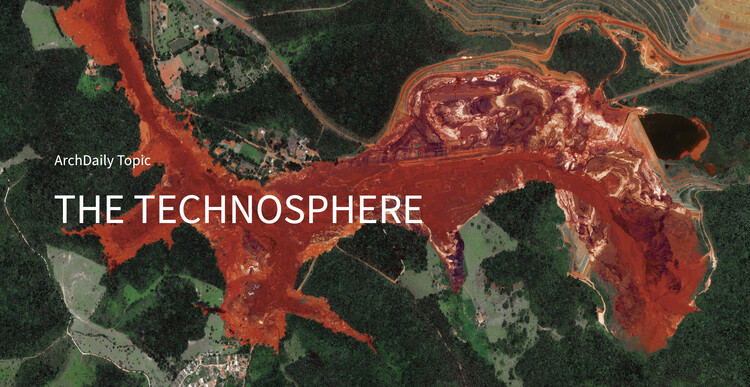
Decades later, the question was updated at the 7th Lisbon Architecture Triennale. Curators Ann-Sofi Rönnskog and John Palmesino asked: How heavy is a city? The scale shifted from the domestic interior to the territory. The technosphere, materialized in the estimated 30 trillion tons of human-made matter on Earth, reframes the discussion entirely. Cities, data centers, oil fields, logistics hubs, satellites, cables, and waste streams form a planetary system in which architecture is neither object nor backdrop, but participant.
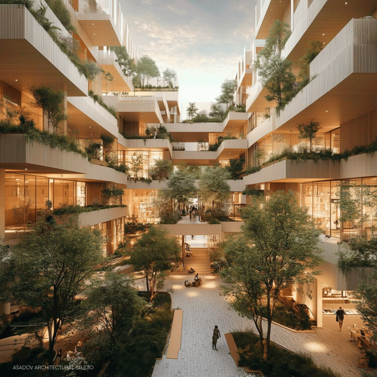
Urban masterplans remain an exploratory ground for unbuilt speculation, offering insight into how cities might recalibrate mobility, ecology, and collective life in response to accelerating environmental and social pressures. In this Unbuilt edition, submitted by the ArchDaily community, the selected projects bring together a range of large-scale proposals that examine urban centers, waterfront districts, infrastructural corridors, and cultural landscapes as spatial frameworks for reconnection and resilience. Rather than treating the masterplan as a rigid blueprint, these projects approach urbanism as an adaptive system shaped by climate, topography, infrastructure, and public space.
Across varied geographies, from Northern European town centers and Mediterranean coastal districts to Central Asian polycentric hubs and Gulf megacities, the proposals explore diverse architectural and urban strategies. They range from park-led civic transformations built over highway tunnels to elevated pedestrian networks above active transport systems, mixed-use blocks structured by historic planning logics, marina developments integrating environmental stewardship, and research-driven models for equitable landscape urbanization.