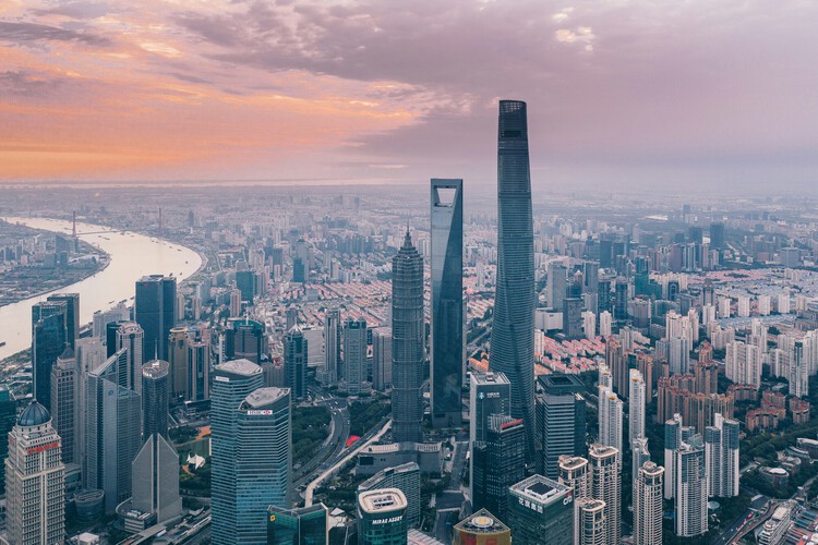
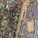
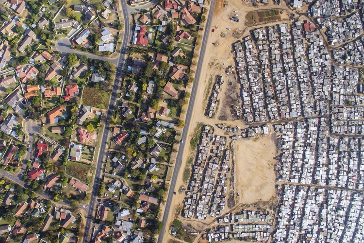
Every year on July 11, World Population Day draws attention to the demographic trends reshaping societies around the globe. In 2026, the United Nations marks the occasion under the theme, "Realizing the Hopes and Aspirations of Young People – Today and for the Future," highlighting how young people's decisions about education, employment, housing, relationships, and family life are increasingly influenced by the cities they inhabit. Drawing on Lives, Choices and Futures, a global survey of more than 108,000 young adults across 73 countries, this year's campaign underscores the close relationship between demographic change and the social, economic, and spatial conditions of cities.
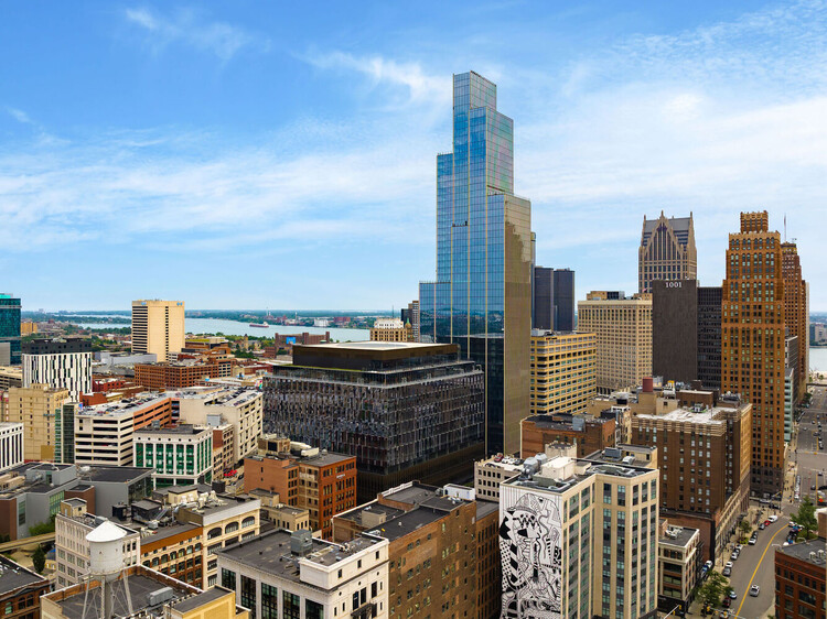
Hudson's Detroit mixed-used development. Aerial view.. Image Courtesy of Bedrock
Urban planning is often confused with adjacent disciplines: urban design, environmental policy, civic strategy, local politics, or data analytics. Moreover, the overlap in training and responsibilities between planning and urban practices makes the field difficult to define clearly. In practice, it is often easier to recognize the consequences of bad planning than to articulate the outcomes of good planning. When planning is working well for residents, it should disappear altogether. It should remove friction from daily life so that people would not think to credit a discipline at all. At its core, urban planning is the relationship people have with their environments, and when that relationship is functioning, the mechanics of housing, transportation, affordability, access, and inclusion should feel ordinary and expected.
The built environment has historically served humans as a mechanism of environmental control. Through our intellectual capacities and ability to organize, we have used buildings to actively influence and terraform the immediate context in which they are inserted, often treating geography, water, and ecosystems as resources to be extracted and managed. However, more and more, architecture is transitioning from exploiting physical and biological matter to actively collaborating with it. This shift demands that architects explore how buildings and their materials grow, transform, decay, and persist beyond human timelines. This thinking also serves as a starting point for the profession to reflect on how it influences the natural world, as well as the non-human species around it, creating networks and connections between humans, buildings, living organisms, and natural environments.
An informal vendor selling balloons along La Séptima in the Plaza de Bolívar. "Bogota, Colombia" by szeke is licensed under CC BY-SA 2.0
This article is the winning entry of the Epistle Writing Prize 2025, an annual competition dedicated to recognizing outstanding writing on design, architecture, and the environment.
It's wet season, but this morning's downpour does little to deter the rhythm along La Carrera Séptima. Cyclists and pedestrians weave past ambulatory vendors with carts of avocados, ginger sweets, and phone cases. Toy cars, lightbulbs, and hand-beaded jewelry glisten with raindrops, arranged neatly on tarps that demarcate vendors' territories. Police officers approach a recycler gathering bottles; a tourist bargains for a jacket; two women find each other in the middle of the road, embracing as their coats grow heavy with rain.
La Séptima, or Bogotá's Seventh Avenue, is the most emblematic road in Bogotá, traversed by more than two million people every day. Along this single road — part marketplace, part protest route, part transportation hub — Bogotá's history unfolds. For nearly a year, I traced its rhythms as a pedestrian, commuter, inhabitant, and researcher. In all these moments and their historical incarnations, one image endured: the road is a living body. It is imagined as Bogotá's backbone, its vital artery, its heart. It bleeds, bears scars, and demands care.
Every twelve years, the banks of the Ganges at Prayagraj become one of the largest cities on Earth — and then disappear. The Maha Kumbh Mela draws over 400 million pilgrims across six weeks, requiring the construction of a full urban infrastructure: pontoon bridges, field hospitals, kilometers of temporary roads, a grid of tent cities visible from space. When the festival ends, it is dismantled entirely. No gathering in human history produces a more complete architecture of movement; built for arrival, engineered for transience, and designed to leave no permanent trace. The Kumbh Mela is exceptional in scale, but not in condition: movement has become a defining spatial problem of the century.
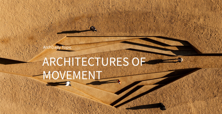
This month, ArchDaily explores Architectures of Movement: Land, Borders, and the Politics of Belonging, a theme that examines how mobility reshapes architecture's relationship to territory, ownership, and identity. The topic does not treat movement as a crisis to be managed, but as a fundamental lens through which to reconsider what buildings, cities, and borders actually do: who they accommodate, who they exclude, and what they make permanent.
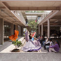
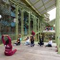
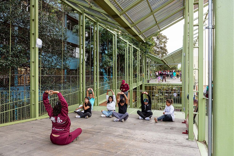
In many Latin American cities, peripheral neighborhoods have historically had less access to the resources that make urban life more than just livable. Housing, transportation, and public services are the usual markers of that gap. But there is another gap that is harder to quantify: the absence of places where people can gather, learn, rest, and participate in collective life. When those spaces do not exist, the city not only fails to provide a service. It fails to acknowledge a presence.
In recent decades, a growing number of projects have tried to address that absence directly. Rather than focusing only on physical infrastructure, they invest in spaces designed to support education, culture, recreation, and community, often merging several of those functions within a single building in neighborhoods where those spaces are otherwise limited.
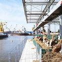
There is a standard way of telling the history of architecture and food. It begins with the human decision to cultivate, to store, to distribute, to consume, and ends with the building that decision produced. In this version of events, food is the occasion and architecture is the response.
But what if the story runs differently? What if the tomato built Almería? What if the cod redesigned the North Atlantic? What if the soybean is, at this moment, constructing a port in Santos and demolishing a forest in the Cerrado simultaneously, and the architect has simply not been told? These are descriptions of processes already complete, or well underway, that have produced some of the most spatially consequential contemporary landscapes. Much of the built environment is shaped by the pressures, metabolisms, and territorial ambitions of what we eat. Architecture, in this, is often less a project than a consequence, and the discipline has been telling its own story from the wrong end.
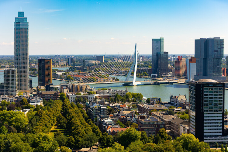
Who has the right to the city? Henri Lefebvre's writings question the structures that control urban space and, instead, put the citizens at the center of decision-making. His ideas have influenced the way architecture and urban design are practiced, bringing about community participation and co-design. These have been some of the most prominent themes at Utopian Hours 2026, the festival of city-making, the first part of which was held in the Dutch city of Rotterdam to mark its tenth anniversary edition.
What architecture leaves in the ground outlasts what it puts in the air. A demolished building disappears from the skyline in a matter of days, but its foundations remain embedded in the soil for generations. The contamination caused by an industrial complex does not clear when the complex is torn down. The legal boundaries inscribed across colonial territory do not dissolve when the colonial administration ends. The ground holds what architecture quickly forgets.
This is what makes soil so uncomfortable as a subject. The discipline tends to orient itself upward, toward the form, the façade, the spatial experience of inhabitation. The ground is where architecture begins and, in a certain sense, where it ends: the point at which building becomes geology, legal title becomes territorial claim, and construction becomes extraction. Treating soil as a medium rather than a datum means acknowledging that the acts of building carry consequences that run deeper than the visible object above grade.
Architects are accustomed to being credited for buildings long after construction ends. Names remain attached to projects through photographs, publications, and histories, often decades after the original drawings were produced. Buildings, on the other hand, rarely remain faithful to that narrative for long. Families grow, technologies change, businesses emerge, and daily life introduces demands that no plan can fully anticipate. Over time, architecture accumulates modifications, repairs, additions, and improvisations that gradually distance it from its original form.
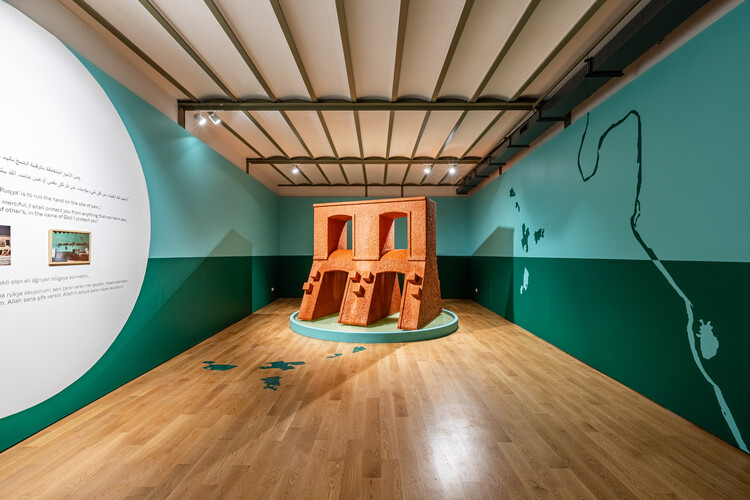
Tell the Water What the Clay Kept Secret. Image Courtesy of Ola Hassanain
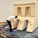
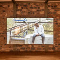
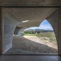
Ola Hassanain is a Sudanese architect and artist operating in the Netherlands, and will be exhibiting at the Pan-African Architecture Biennale in Nairobi, Kenya, later in 2026. All three locations tell stories of the built environment's relationship with water. These illustrate the continuous battles between the amorphous forces of nature that are the rivers and seas, and human attempts to shape and control them. In most cases, they are attempts at extraction. Catastrophes happen as a result of the overreach of these attempts or of their mismanagement, or both.
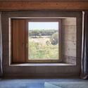
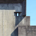
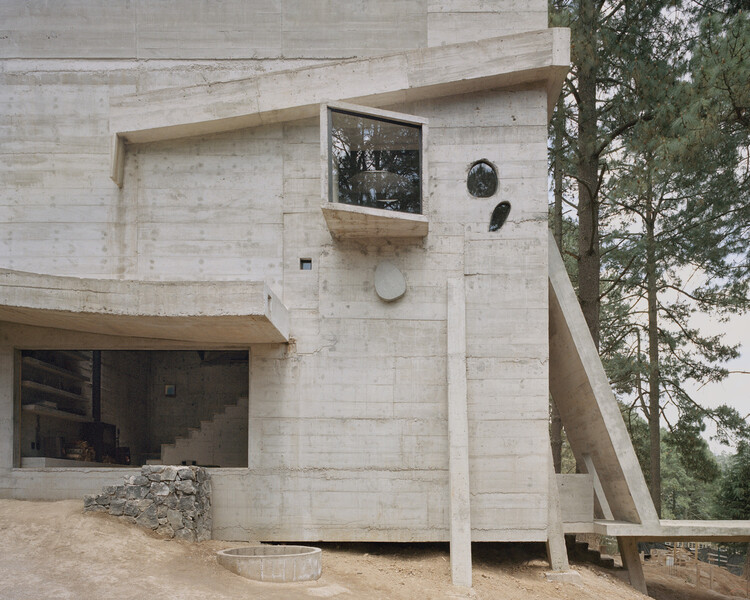
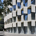
For much of the twentieth century, architectural culture was shaped by the pursuit of lightness. Steel structures and curtain walls reduced the building envelope to a thin layer separating interior from exterior, while façades became smooth, continuous surfaces where windows were cut as precise openings within an abstract plane. But for centuries, buildings were conceived as bodies of mass; walls possessed depth, windows were recessed within thick masonry, and space was often experienced as something carved from the solidity of construction. In recent years, several contemporary projects appear to revisit this older spatial logic, reintroducing thickness as an architectural condition through deep openings, monolithic volumes, and heavy envelopes.
This shift does not imply a rejection of modern construction technologies, nor does it represent a nostalgic return to historical forms. Instead, it reflects a renewed interest in the fundamental relationship between material, mass, and void. By reintroducing thickness into the architectural vocabulary, these buildings reconnect contemporary practice with long-standing traditions in which space was inseparable from the weight and depth of construction.
As Europe experiences one of its earliest and most intense heatwaves in recent years, World Environment Day 2026 arrives amid renewed discussions about climate adaptation, urban resilience, and the capacity of cities to respond to increasingly extreme temperatures. Across Portugal, France, Italy, Spain, Germany, Switzerland, Ireland, and the United Kingdom, temperatures have surged well above seasonal averages, prompting heat alerts, school closures, emergency planning measures, and growing concerns about the performance of buildings and public infrastructure under prolonged heat stress. The convergence of these highlights a reality that is becoming increasingly worldwide: climate change is no longer solely an environmental concern but an issue that is fundamentally reshaping the spaces where people live, work, and gather.
Modern cities are running on performance indicators. They move millions of people each day, concentrate capital, separate land uses, and sustain complex systems of logistics and consumption. In that sense, the city functions as a system to be continually adjusted and optimized.
Today's dominant metrics are familiar and widely witnessed: vehicles per hour, average commute times, floor area ratios, parking turnover, housing starts, and tax revenue per parcel of land. These figures describe a city that is legible through efficiency. They are inherited from an industrial logic, where urban space is treated more like a production mechanism than a lived-in environment. In this framing, cities begin to mimic the needs and metrics of a machine.
Copenhagen, Denmark. Image Courtesy of Lindsay Martin via Unsplash
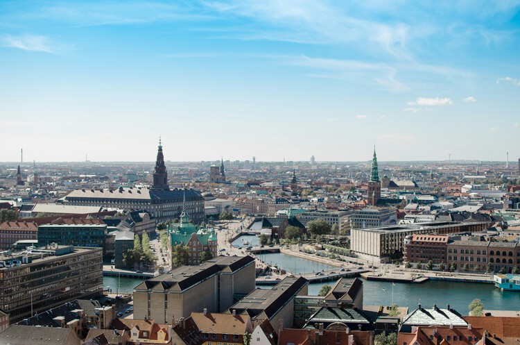
Copenhagen is long famous as the global capital of human-scale design and livability. Today, the city has widened its focus and is an active space where mid-century Scandinavian modernism meets the modern demands of climate adaptability, material circularity, radical conservation, and neighborhood density. During the first-ever Copenhagen Architecture Biennial, in 2025, the city transformed into a global platform for dialogue under the theme "Slow Down," exploring how architecture can respond to global pressures by rethinking the pace of change. And this year's 13th edition of the 3daysofdesign Festival will explore the theme of "Make This Moment Matter", encouraging the global design community to step away from digital noise and mass production to focus on the present.
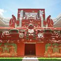
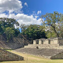
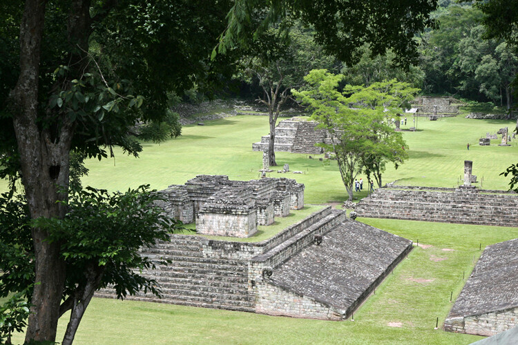
Deep in western Honduras, within a valley near the Guatemalan border, lies the ancient Maya city of Copán. Flourishing during the Classic period between the fifth and ninth centuries CE, the city developed as a regional epicenter through trade networks, dynastic politics, and monumental architecture. Today, the site is designated a UNESCO World Heritage Site due to its extensive architectural remains, including stepped pyramids, sculpted stelae, and ceremonial core. Over a century of systematic archaeological research has documented its urban morphology, revealing distinct residential districts, civic spaces, and systems of movement and visibility.
This analysis examines the spatial organization of Copán through the framework of urban theorist Kevin Lynch and "The Image of the City". By applying Lynch's five structural elements — edges, districts, paths, nodes, and landmarks — it is possible to analyze how Copán functioned not only as a ritual center but as a legible urban landscape designed to reinforce political hierarchy and regulate collective movement. Historical data for this analysis was taken from books and articles linked throughout the text, and was possible thanks to the collaboration of historian Arnulfo Ramirez de la Costa, professor and coordinator of the History program in the Department of History at the National Autonomous University of Honduras (UNAH) in Tegucigalpa.
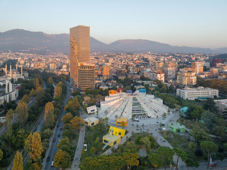
Located at the intersection of Adriatic landscapes and Balkan geopolitics, Tirana has undergone one of the most accelerated urban transformations in Europe over the last three decades. Once defined by rigid socialist planning and political isolation, the city has progressively reoriented itself through a combination of informal growth, international investment, and strategic urban interventions that seek to redefine its public image and spatial structure.
Since the early 2000s, a series of urban policies, most notably those initiated during the mayoral tenure of Edi Rama (now Albania prime minister), have promoted the use of color, public space, and architectural experimentation as tools for civic reactivation. Rather than relying solely on masterplans, Tirana's development has operated through interventions, where individual buildings and public spaces act as catalysts within a fragmented urban fabric.