The original promise of BIM (Building Information Modeling) went far beyond the three-dimensional representation of a building. Its ambition was to turn the model into a coordinated information structure, in which geometry, components, systems, and data remained connected as the project evolved. Changes to one element could be reflected across corresponding plans, sections, elevations, and quantities; clashes between different disciplines could be identified before construction; and information associated with building components could follow the project through different stages of its life cycle.
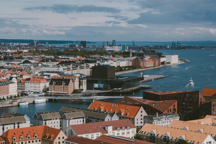
Global city rankings offer one way of looking at how urban environments support everyday life. The Economist Intelligence Unit's (EIU) Global Liveability Index evaluates 173 cities across stability, healthcare, culture and environment, education, and infrastructure, highlighting both long-term patterns and changes from one year to the next. In the 2026 edition, Copenhagen has been named the world's most liveable city for the second consecutive year, followed by Vienna and Melbourne. The Danish capital scored 98 out of 100 overall, receiving perfect scores in stability, education, and infrastructure. The global average remains unchanged at 76.1, with improvements in healthcare, education, and infrastructure offsetting continued declines in stability.
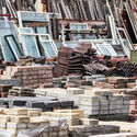
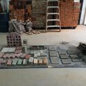
During the last week of August, the New York City government announced a new project for the MADE Bush Terminal in Sunset Park, Brooklyn. It involves the transformation of the old industrial building into a center for the recovery, storage, sorting, and redistribution of construction materials during a one-year pilot program. The initiative echoes a wave of similar circular construction hubs recently launched or announced across Europe: a converted warehouse in Brussels, an industrial site adaptation in East London's Royal Docks, and a cross-border network supported by CirCoFin spanning Munich, Copenhagen, Lisbon, and Scotland, each repurposing industrial buildings and infrastructure to support the reuse of construction materials.
Since the 2008 crash, a scatter of small practices (none more than fifteen years old and none large enough to need a manifesto in the traditional sense) have arrived, independently of one another, at some version of the same refusal: to sound too certain, too soon, in a discipline that had spent the previous decade selling confidence as a finish. They would probably resist being filed under one heading, but the coincidence itself is that something about practising architecture after 2008 made innocence look like the only posture worth trying.
At least from 2019 onwards, Fala has circulated a two-word description of itself, repeated verbatim across dozens of architecture outlets: a "naïve architecture practice." No footnote, no irony, just an office, founded in 2013, that built a decade of houses, birdhouses and institutional commissions on a term architecture had spent a century trying to outgrow. The question the phrase raises is not whether the buildings are any good (as they generally are) but what it means for a practice to choose innocence as a public position. Where does post-irony end and marketing begin?
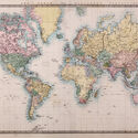
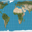
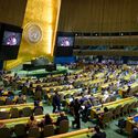
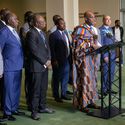
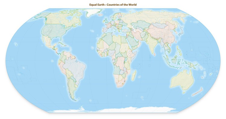
The United Nations General Assembly has voted to promote the use of worldmap projections that more accurately represent the relative size of continents. The resolution was presented during a session at the UN headquarters in New York on September 4 and received 164 votes in favor, with one country voting against and six abstaining. Sponsored by Togo, the resolution encourages governments, educational institutions, international organizations, and technology companies to use equal-area projections when geographic scale is relevant. The resolution does not formally replace or prohibit the use of the Mercator projection, which has been widely used since the 16th century. Instead, it calls for greater use of projections that preserve the relative area of landmasses and encourages education about the limitations of representing the Earth's curved surface on a two-dimensional map. The 2018 Equal Earth projection is identified as one example of a map that more accurately represents continental scale.