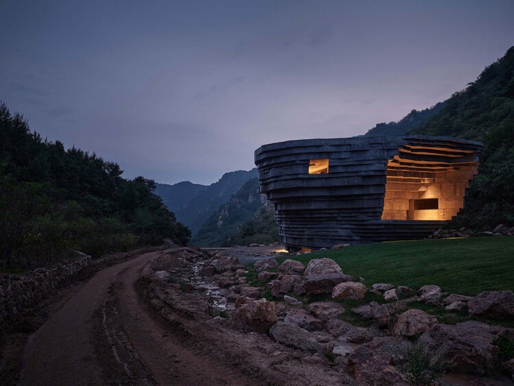
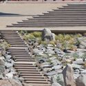
A canyon is a space no one designed. Its walls expose layers of rock deposited over millions of years, and the passage between them exists because water slowly wore that rock away. Glaciers shaped valleys in a similar way, leaving slopes behind as the ice retreated. Long before architects began shaping spaces, the Earth was already producing them.
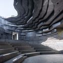
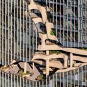
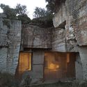
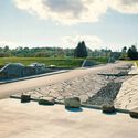
Architects have long looked to the ground for geometry. A cliff can suggest a section, a cavity a room, and layered rock a way of stacking material. Some architects build directly into an existing formation, occupying a slope or a cavity on site. Others study a formation and reproduce some of its characteristics elsewhere, from precise geological data to the general experience of a landscape.
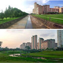
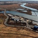
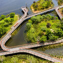
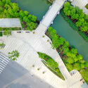
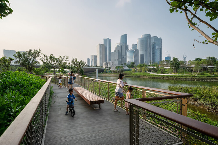
At Bishan–Ang Mo Kio Park in Singapore, a river does not occupy a fixed boundary. Under ordinary conditions, water moves through a naturalized channel bordered by grass, planting, and paths that bring visitors close to the river. During heavy rainfall, water spreads into the surrounding park, which is designed to accommodate flows beyond the capacity of the narrower channel. What appears to be a public landscape is also working infrastructure. Singapore's approach retains drainage engineering while assigning a wider role to the land around it.
For decades, Singapore's network of concrete canals has been central to managing stormwater in a densely developed city exposed to intense tropical rainfall. Their hard surfaces and defined channels were designed to convey water efficiently. These channels moved stormwater efficiently, but offered limited space for public access, planting, or other uses along the water's edge. Through its Active, Beautiful, Clean Waters (ABC Waters) Programme, launched in 2006, Singapore began integrating waterways with parks, ecological systems, and public spaces. The programme links stormwater management with the design of parks, waterways, and public spaces.
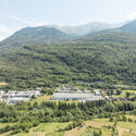
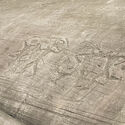
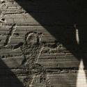
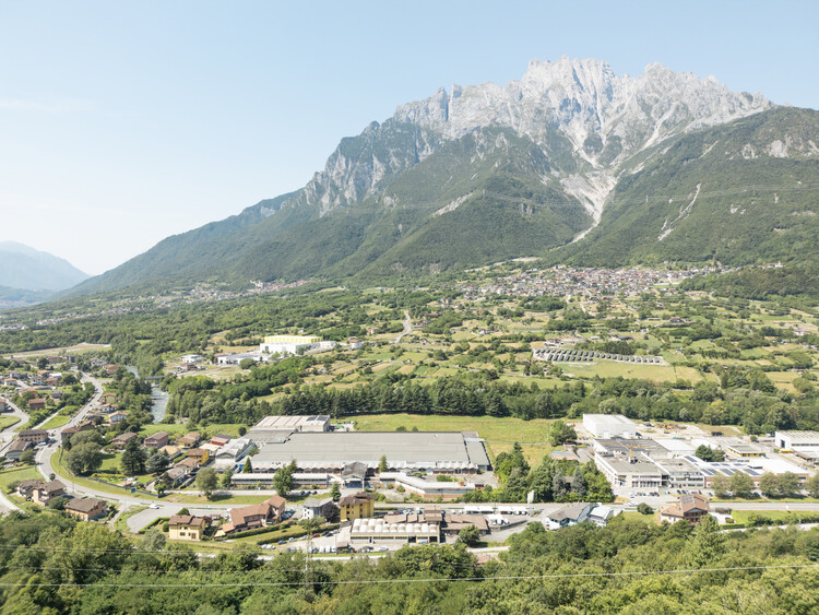
A team led by Politecnica Building for Humans, with Park Associati and AMDL CIRCLE as architectural co-leads and Studio Mattioli responsible for geology and archaeology, has won the competition for a new cultural hub in Ceto, Italy. The project will transform the former Società Filati Niggeler & Kupfer textile mill into a facility comprising exhibition spaces, research facilities, an auditorium, and visitor services. Located in Valle Camonica, an area known for its prehistoric rock engravings, the proposal approaches the site through the relationship between industrial heritage, archaeology, and the surrounding landscape.
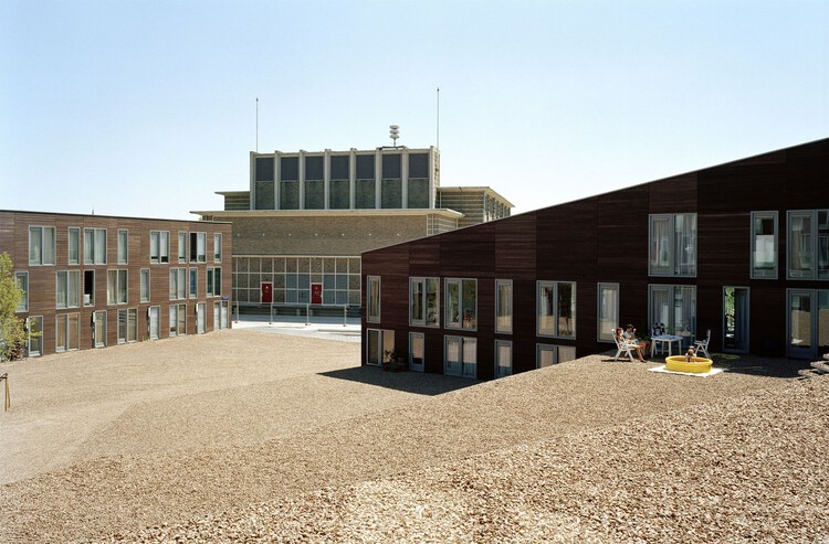
Industrial activity can end long before its effects disappear from the land. Factories close, buildings are demolished, and former industrial districts gradually become part of new residential developments. Yet the soil beneath them may still contain traces of their previous use, sometimes requiring extensive intervention before construction can begin.
Redeveloping these sites raises a question about how much of the existing ground can remain and what it takes to build housing above it. The extent of contamination affects what must happen before construction begins, while the cost of preparing the land can influence the development itself. Much of this work eventually disappears beneath the completed buildings, leaving little indication of the site's previous condition.
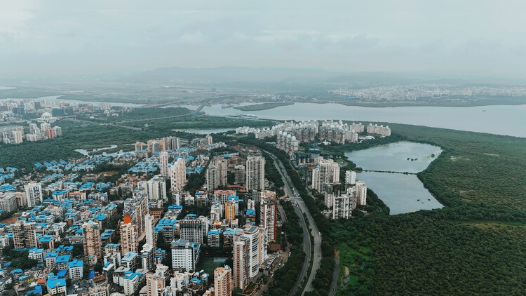
Aerial view of Mumbai’s coast. Image via Shutterstock
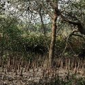
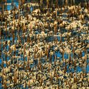
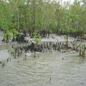
Along India's coast, the boundary between land and sea is not always a line of concrete. In places, it is a forest of tangled roots, tidal channels, and sediment, a landscape that changes character with the water. Mangroves influence how water moves, how shorelines evolve, and how coastal communities experience flood risk. Their role in coastal protection depends on the width and condition of the forest, the movement of tides, and the accumulation of sediment.
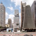
This month's Brazil in Focus looks at how architecture and urban development intersect with questions of housing, education, public space, and mobility across the country. This month's selection includes an indigenous settlement in Maricá recognized by UN-Habitat for its approach to adequate housing, editorials examining university campuses and planned cities as frameworks for collective life, and projects ranging from a timber-structured airport expansion to a commercial building that engages São Paulo's public realm and a residence shaped by its landscape. Also on the radar are the winning proposal for Itaú Cultural's new headquarters on Avenida Paulista, international recognition for two Brazilian landscape architecture projects, and a national diagnosis highlighting persistent gaps in pedestrian infrastructure and road safety.
Walk along a river in almost any Latin American city and you will find stretches that have been straightened, lined with concrete, buried beneath roads, or pushed behind industrial areas and residential neighborhoods. Throughout the twentieth century, urban expansion gradually occupied riverbanks and former floodplains, while waterways were redirected or confined within infrastructure intended to control them. Yet the water continued to return. For decades, flooding has been the most frequent natural disaster in Latin America and the Caribbean, according to the Inter-American Development Bank.
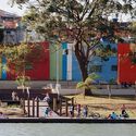
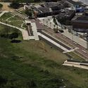
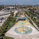
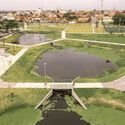
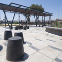
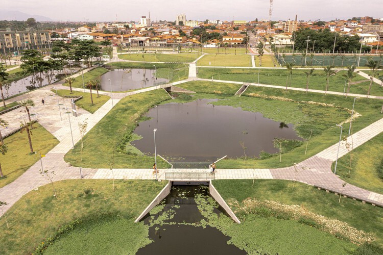
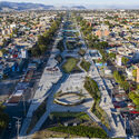
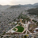
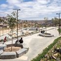
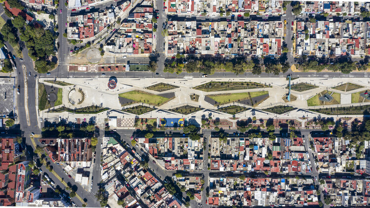
Some cities have begun to reconsider what happens along these edges. Across Chile, Mexico, and Brazil, parks are being developed within riverbeds, drainage channels, and other territories exposed to flooding. These spaces accommodate water during heavy rainfall while providing areas for recreation, circulation, and gathering throughout much of the year. Their design also changes how surrounding neighborhoods access territories previously associated with flooding, pollution, or limited public use.
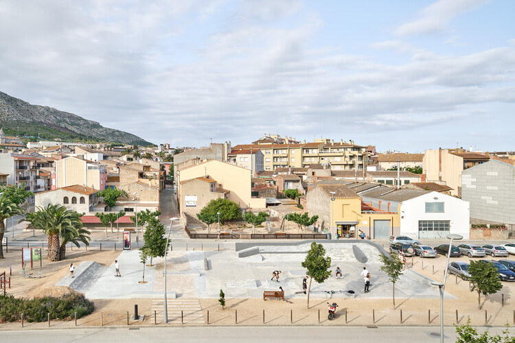
Created by California surfers who wanted to bring the lines of surfing onto asphalt, skateboarding soon outgrew its role as a simple alternative for flat days. It established itself as a practice that reads the city through a different logic, reinterpreting steps, handrails, walls, and interstitial spaces as possible lines, challenges, and opportunities. Over time, it evolved into a global urban culture, a way of inhabiting and transforming public space through movement. What was once marginal has become a catalyst for community building and new uses for overlooked spaces. At its core, skateboarding reveals how many cities coexist within the same city, depending on who moves through them and how each person is able to reinterpret their surroundings.
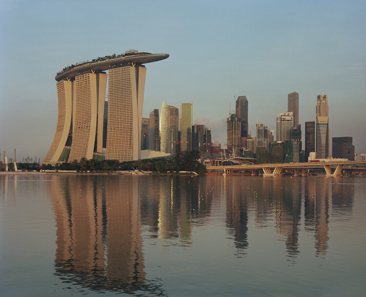
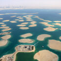
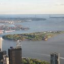
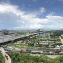
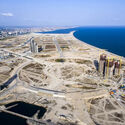
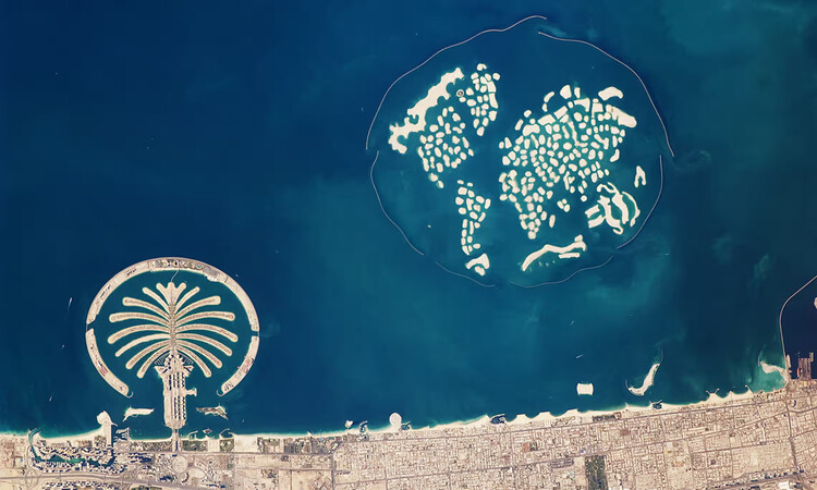
Reclaimed land is often presented as new ground: flat, available, and ready for architecture. It promises cities more space where space is scarce, allowing them to extend waterfronts and build cultural districts. Sometimes, these newly claimed lands may also develop into financial centers, create parks, and imagine futures beyond the limits of existing land. Yet reclaimed land is never simply land. It is an engineered surface, produced through fill, seawalls, drainage, and soil stabilization — a long-term negotiation with the water it claims to have displaced.
This makes reclamation one of architecture's most powerful and ambiguous spatial fantasies. On one hand, it offers freedom: a tabula rasa where streets and buildings can be planned almost from scratch. On the other, this apparent freedom conceals dependency. Made land must constantly prove itself as ground. It has to resist flooding, support foundations, grow trees, and hold public life above a terrain that did not previously exist.
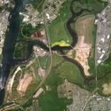
In 1948, Robert Moses established the Fresh Kills Landfill on the western shore of Staten Island. The site, chosen for its remote marshland and cheap land value, was meant to be temporary, but by 1955 it was the largest landfill in the world, receiving up to 29,000 tons of refuse per day at its 1991 peak. By 2001, after more than fifty years of continuous operation, Fresh Kills covered 2,200 acres, roughly three times the area of Central Park, and was, unspectacularly, visible from space. When it started, Moses didn't expect to design a dump but, without calling it that, a new landform with four artificial hills rising up to sixty meters above sea level built entirely from the accumulated residue of eight million daily lives.
That landform is now, slowly, becoming a park. James Corner Field Operations won the international design competition launched by the city in 2001, producing a master plan calledLifescape that will take thirty years to complete. The landfill's four mounds are being capped, planted, and gradually opened to the public. Methane from decomposing waste is captured and fed into an energy system as the wetlands are being restored around the engineered hills. Evidence of New York's consumption transformed into a feat of ecological engineering and an act of institutional memory management (a way of making a city's most embarrassing landscape slowly look like something it was always meant to be).
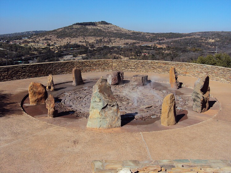
Isivivane - Freedom Park, Pretoria, South Africa. Image by Shosholoza
Liberation does not always begin with a monument. It may begin in a garden, a yard, a clearing, a field; in the occupation of land and the possibility of gathering there. Across histories shaped by colonialism and dispossession, space has been more than the setting in which liberation takes place. It has been one of its practices: cultivated, occupied, hidden within, moved through and collectively remade.
Wolff Architects' researchLiberation Gardensoffers the garden as one way of reading these spatial practices, not simply as planted ground, but as a space through which survival, nourishment and emancipatory imagination can be sustained. The garden in this sense is not defined by landscape design so much as by relationships between people and land, cultivation and knowledge, occupation and autonomy. It can hold cultural production alongside subsistence, and forms of collective life that emerge under conditions of violence and dispossession. Liberation, understood spatially, becomes as much about the possibility of inhabiting differently as it is about arriving at a final condition of freedom.
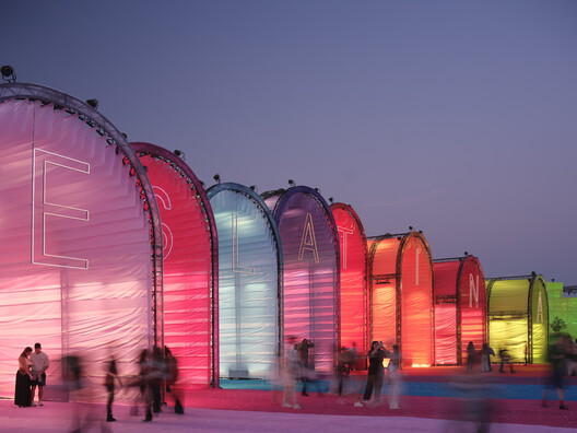
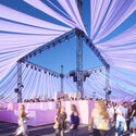
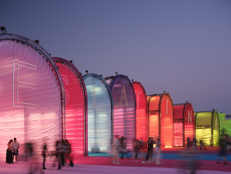
Following the opening weekend of Shakira's Madrid residency, Macondo Park has officially opened at the Iberdrola Music venue in Villaverde, Madrid. Designed by Bjarke Ingels Group (BIG) in collaboration with Komodo and Vampire, the 185,000-square-meter temporary destination surrounds the venue designed by BIG for Shakira's concerts, extending the venue with a series of cultural and public spaces inspired by the fictional town of Macondo from Gabriel García Márquez's One Hundred Years of Solitude. The park will host daily cultural programming alongside the concerts throughout the singer's 12-show residency, which continues through October 11, before its temporary structures and landscape elements are dismantled and removed from the site.
Guangzhou Yunxi Botanical Garden / AECOM + Architectural Design & Research Institute of SCUT + Guangzhou Landscape Architectural Design & Research Institute . Image Courtesy of AECOM
Across Brazil, architecture continues to take shape through different forms of practice, scales, and relationships with place. This month's selection looks at practices working beyond conventional architectural boundaries, collective approaches that reconnect design and construction, and projects that respond to landscape, memory, and community. Alongside recently completed buildings and public spaces, new cultural interventions in São Paulo and Rio de Janeiro further highlight how architecture intersects with art, heritage, and the wider urban environment.
Mexico's rapid urban growth over recent decades has left many cities struggling with fragmented neighborhoods, high crime rates, and severe shortages of quality public spaces. In many low-income urban areas, informal development occurred alongside raw infrastructure like drainage canals, rail lines, and steep ravines, dividing communities and creating hazardous vacant zones. To address this spatial segregation and lack of civic amenities, public agencies and architects across Mexico are intervening in these abandoned buffer zones to construct public parks. By converting former physical barriers into accessible pedestrian corridors, these projects rejoin separated neighborhoods, re-establish safe visual sight lines, and provide spaces for community gathering and daily recreation.
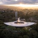
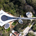
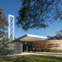
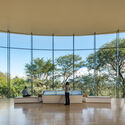
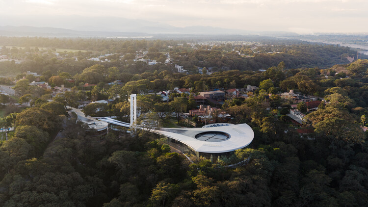
Pelli Clarke & Partners has completed the Lola Mora Cultural Center in San Salvador de Jujuy, Argentina, a new cultural institution dedicated to the life and work of Argentine sculptor Lola Mora (1866-1936). Located in the country's northwestern region, the project is the firm's first cultural building in South America and the final project led by its founder, the late César Pelli. Designed as a net-zero facility, the center brings together six of Mora's monumental marble sculptures for the first time in more than a century, providing a permanent home for works that were previously displayed outdoors in Jujuy.
Parlour Gardens exhibition at Barcelona's Botanical Garden. June to October 2026. Image Courtesy of Marina Cervera
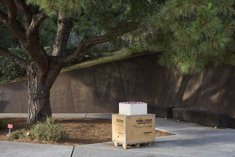
As part of the official programme for Barcelona as the UNESCO-UIA World Capital of Architecture, the Jardí Botànic de Barcelona is hosting "Parlour Gardens: Dreams from the Rooftop," a display of ceramic installations proposing a journey through landscape architecture. Curated by Marina Cervera (Barcelona International Landscape Biennial, CEO of NablaBCN), James Hayter (former president of IFLA, Oxigen), and José Luis Cortés (former president of the UIA), the exhibition marks a century since the 1926 invention of the jardinets de saló (living room or parlour gardens), miniature ceramic landscape worlds created originally by Nicolau M. Rubió i Tudurí, Llorenç Artigas, and Raoul Dufy. Installations by 14 global landscape architects will be scattered across the botanical grounds, grouped by homoclimatic zones to pair each design with fitting regional plant life, through 4 October 2026.