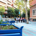
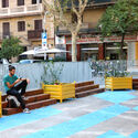
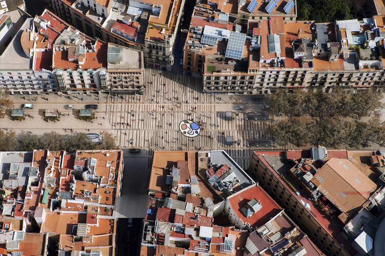
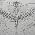
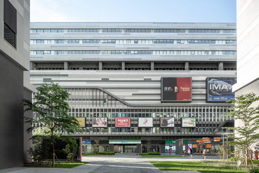
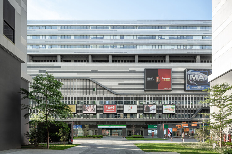
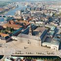
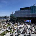
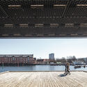
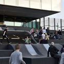
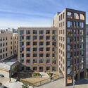
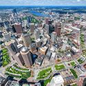
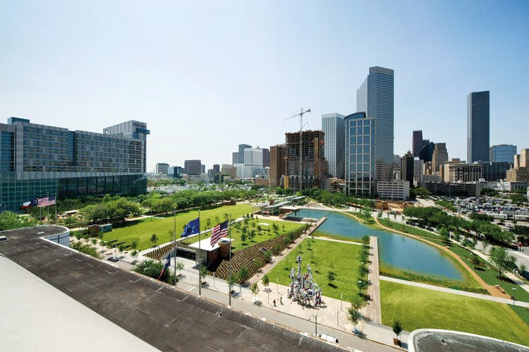
The North Gate of Taipei, also known as Beimen, stands not only as a reminder of the city's complex history but also as a witness to the changing urban landscape around it and its shifting attitudes towards the urban spaces bordering heritage buildings. Initially a Chinese imperial frontier, spared from demolition during the Japanese colonial dominion, crowded by overpasses and highways in the postwar modernization efforts, it has recently regained its prominent status through the development of the plaza that now frames it. The gate's resilience through shifting urban priorities and architectural policies tells a story of heritage preservation not only through the built form, but also through the open spaces framing it.
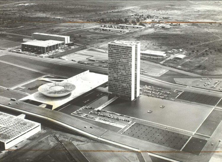
Palacio do congreso Nacional Brasilia. Image via Wikimedia Commons (Public Domain)
A different social order is easier to imagine when it sits far from the one that already exists. In Latin America, that distance has often been territorial. Parts of the region have repeatedly been treated as places where another world could begin. These places were never empty.
For architects, this idea has a familiar starting point: the plan. Seen from above, a territory can look like a clean sheet, ready for an axis or a grid. At eye level, the same ground is already full of people and the paths they use.
In 1948, Robert Moses established the Fresh Kills Landfill on the western shore of Staten Island. The site, chosen for its remote marshland and cheap land value, was meant to be temporary, but by 1955 it was the largest landfill in the world, receiving up to 29,000 tons of refuse per day at its 1991 peak. By 2001, after more than fifty years of continuous operation, Fresh Kills covered 2,200 acres, roughly three times the area of Central Park, and was, unspectacularly, visible from space. When it started, Moses didn't expect to design a dump but, without calling it that, a new landform with four artificial hills rising up to sixty meters above sea level built entirely from the accumulated residue of eight million daily lives.
That landform is now, slowly, becoming a park. James Corner Field Operations won the international design competition launched by the city in 2001, producing a master plan calledLifescape that will take thirty years to complete. The landfill's four mounds are being capped, planted, and gradually opened to the public. Methane from decomposing waste is captured and fed into an energy system as the wetlands are being restored around the engineered hills. Evidence of New York's consumption transformed into a feat of ecological engineering and an act of institutional memory management (a way of making a city's most embarrassing landscape slowly look like something it was always meant to be).
In many Asian cities, the summer climate can increasingly be experienced from a distance. In Hong Kong, it is possible to move from an apartment tower through a podium mall, enter the Mass-Transit-Railway system (MTR), arrive beneath another commercial complex, and continue through enclosed footbridges or underground passages while encountering remarkably little of the atmosphere outside. Heat, humidity, rain, and seasonal variation remain present, but they can be largely bypassed through a continuous network of conditioned interiors.
Over several decades, air-conditioning has expanded from a technology for cooling individual rooms into an infrastructure capable of producing an alternative urban environment. This has been particularly visible in parts of East Asia and South East Asia, where transit-oriented development frequently combines railway stations, shopping centres, housing, offices, and other everyday services within interconnected complexes. The Railway plus Property model has helped institutionalize this relationship between transport and development, creating districts where movement through the city is often inseparable from movement through privately managed interiors.
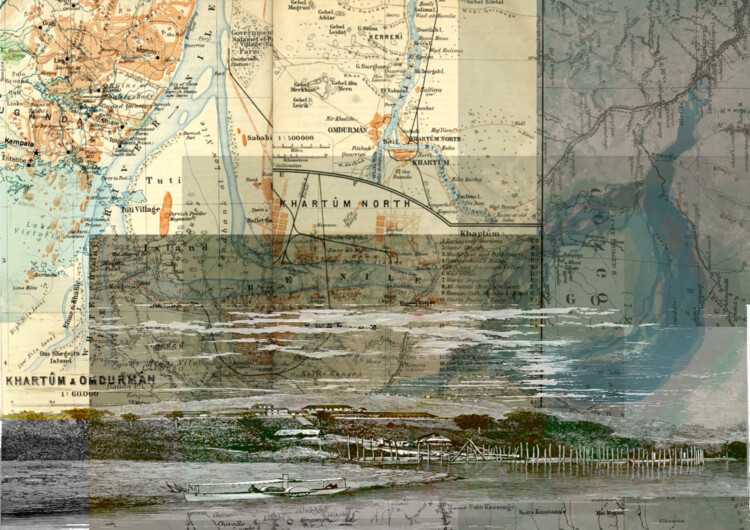
Conceptual map collage of Kampala, Khartoum and Kinshasa. Illustration by Maisa Elamein via Wikimedia Commons and Public Domain sources.
Colonial violence in African cities bled through the political dimensions into the spatial realm. It is infused into street grids, land tenure systems, drainage infrastructure and residential zones that continue to organize inequality and displacement today. Kinshasa, Khartoum, and Kampala each carry this afterlife in their urban morphology, at once historical artifacts and an active structure; shaping who has access to services, who occupies flood-prone land, and catalyzing a deepening climate instability that forces this apparatus into entirely new dimensions - including geological ones.
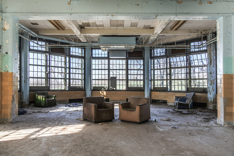
Obsolete buildings. Image Courtesy of Matt Van der Velde
Sustainability in architecture is often discussed as though it were a universal standard—and, in principle, it should be. Buildings are increasingly evaluated through energy performance, embodied carbon, certification systems, material efficiency, biodiversity, and whole-life impact. Yet the rules determining what must actually be done remain highly local. A project designed in London, New York, or Copenhagen may be shaped by stringent energy codes, environmental review, disclosure requirements, planning controls, and increasingly ambitious carbon targets. The same practice working elsewhere may encounter a very different regulatory landscape.
This creates a difficult question for international architecture: when sustainability is not enforced to the same degree by law, what standards should architects carry with them?
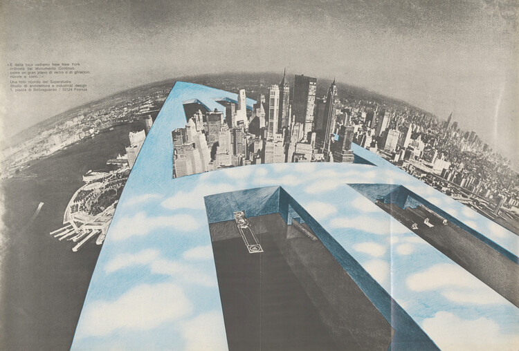
The Continuous Monument- 1969. Image Courtesy of Superstudio
Ask an architect what the hardest problem in the discipline is right now. The block of unmaintained postwar housing two streets from their office rarely comes up. What comes to their mind is the pressure differentials on Mars, or the tensile loads on a floating platform; because unclaimed ground has no one to negotiate with, no history to answer to, no tenant to remember the last renovation, which makes it considerably easier to design for.
Architects think of themselves as solving a harder problem than the one next door. A project, like The Line, a 170-kilometer city meant to house nine million residents, with a site with no prior claimant, is not architecturally harder than a site with a hundred years of tenancy, contested ownership, and a planning department that remembers the last three developers who used the word "community" and meant something else. It is, considerably, easier. No one to persuade, no history to answer to, no argument to lose. Which raises the question of whether the harder problem is sitting two streets from the office, unsolved, and the easier one is the one getting the renderings and the funding rounds; then 'ambition' is the wrong word for what is happening. Something is being avoided, and we need to start thinking about what.
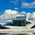
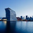
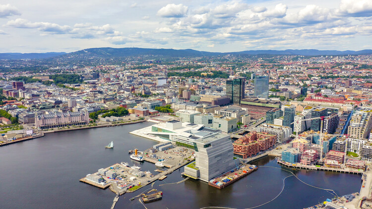
Oslo, Norway. Photo by Collection Maykova, via Shutterstock
Oslo is the capital of Norway as well as its largest city, serving as the country's political, economic, and cultural center. Nestled at the head of the Oslofjord and surrounded by forested hills, it's home to roughly 700,000 people in the city, with over a million living in the greater metropolitan area. Founded around a thousand years ago, Oslo has a long history as a trading post and administrative seat. However, much of its modern character was shaped after a major fire in the seventeenth century led to a full rebuilding under Danish rule, when it was briefly renamed Christiania. Today it consistently ranks among the world's most livable cities, prized for its blend of urban life and easy access to nature.
This article is part of "Thresholds", a special edition printed newspaper by Cobe Notes x ArchDaily.
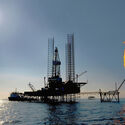
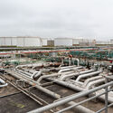
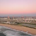
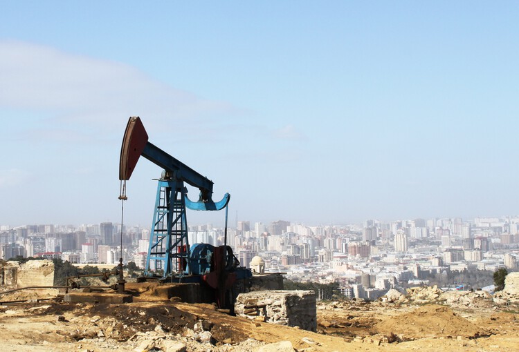
Beneath the ground lies a material that has quietly shaped the architecture of the modern world. Petroleum is rarely discussed within architectural discourse, yet the extraction, circulation, and consumption of oil have profoundly reorganized the spatial logic of territories. Pipelines, refineries, drilling platforms, ports, highways, and petrochemical complexes form a vast infrastructural landscape that sustains contemporary life, composing a dispersed architecture of energy.
Throughout the twentieth and twenty-first centuries, oil became the material foundation of industrial society. It fueled transportation, powered factories, and supported the growth of cities whose spatial organisation depended on continuous energy flows. Yet the infrastructures that enable these flows rarely become objects of architectural inquiry. Attention remains largely directed toward form, typology, or urban density, while the material systems that sustain these environments tend to remain displaced within the discipline.
Every housing crisis eventually becomes a land question, and every land question eventually becomes a values question. The United States' West Coast has arrived at that point. As cities from Los Angeles to Seattle search for parcels to build the affordable housing they have promised for years, they keep landing on the same answer: the park or the greenbelt. What looks like a zoning decision is a referendum on which form of wellbeing a city is willing to sacrifice for another.
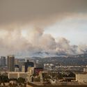
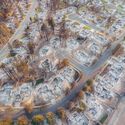
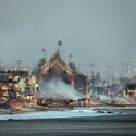
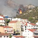
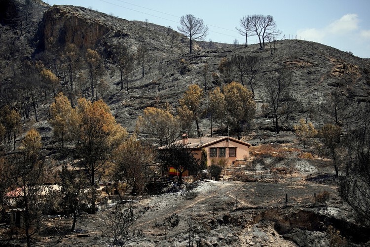
Severe late-August wildfires across northern Algeria have brought residential areas, agricultural lands, and critical transport corridors directly into the path of rapidly spreading flames. The destruction across Jijel, Béjaïa, and Tizi Ouzou claimed at least 12 lives and forced the emergency closure of major national highways. The latest outbreak follows a summer of repeated fires across the country, with authorities recorded nearly 2,000 fires nationwide in July, while fires in the northeastern province of Annaba at the end of the month forced more than 100 people to leave their homes and damaged nearly 150 houses. The current fires have again brought residential areas, roads and other infrastructure into the path of rapidly spreading flames. Forest fires occur regularly in northern Algeria during the summer, with increasingly frequent drought and periods of intense heat contributing to more severe fire conditions.
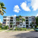
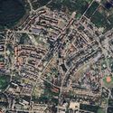
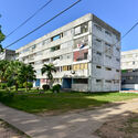
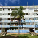
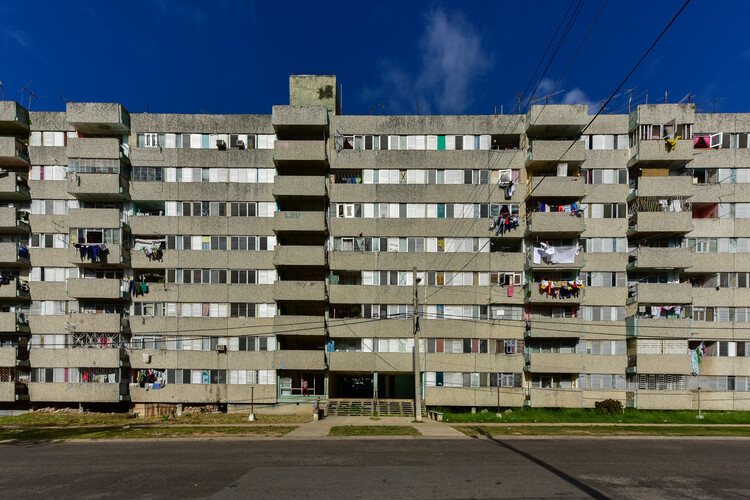
In the 1970s, Cuba faced a severe nationwide housing shortage due to population growth, rural-to-urban migration, and the degradation of existing housing stock. The government's answer was a system that pulled ordinary workers off their regular jobs and put them on building sites instead. This program, known as the Microbrigadas (microbrigades), reshaped entire districts of Havana, where they combined collective self-construction and state-backed technical knowledge, which left a mark on the urban grid of its capital city that persists until today.