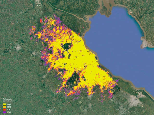
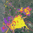
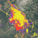
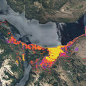
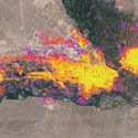

The Federal Urban Observatory (OFU) of the Ministry of the Interior, Public Works, and Housing of Argentina surveyed and mapped urban data for 16 cities across the country, which are home to 50% of Argentina's total population. Based on data collected over 28 years—between 1991 and 2019—this series of maps and graphs illustrates how each city's urban footprint expanded over time. Overall trends show a sharp increase in urbanized land area (77%) compared to moderate population growth (35%), resulting in a general 23% decline in population density. In other words, city growth has predominantly followed a pattern where land expansion far outpaces population growth.