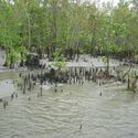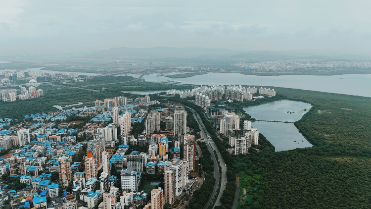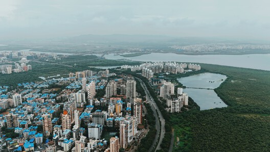
Along India's coast, the boundary between land and sea is not always a line of concrete. In places, it is a forest of tangled roots, tidal channels, and sediment, a landscape that changes character with the water. Mangroves influence how water moves, how shorelines evolve, and how coastal communities experience flood risk. Their role in coastal protection depends on the width and condition of the forest, the movement of tides, and the accumulation of sediment.
Seawalls and embankments are designed to resist water at a defined boundary. Mangroves work through a different set of processes. Their roots, trunks, and branches create resistance to moving water, while the forest interacts with sediment and tidal flows over time. The two forms of protection are often discussed separately, yet along inhabited coasts they occupy the same territory. Development takes place behind embankments, roads cross tidal landscapes, and mangrove forests persist in the remaining spaces between infrastructure and water. How these elements are arranged can influence the conditions under which coastal protection operates.