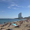
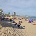
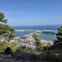
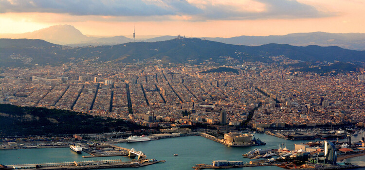
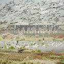
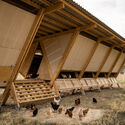
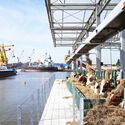
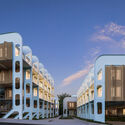
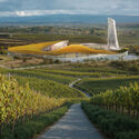
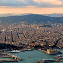
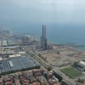
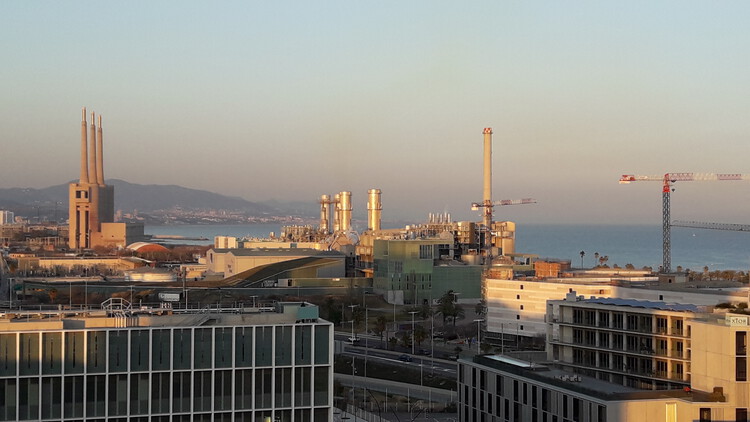
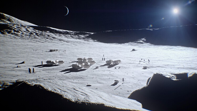
As one walks along the beachfront of Barcelona, the shoreline feels like it has always been there: sand, palm trees, a long promenade, restaurants, shops and modern hotels, when the reality is that it has not always been this way. Until the 1980s, Barcelona's seafront was a working barrier of railway lines, factories and informal housing, and wastewater ran straight into the Mediterranean. Starting in 1987, Barcelona has continuously created large promenades and passages between the city and the sea, creating an environment that today many might read as previously empty space, but is actually the result of decades of infrastructure and social complexity, along with a municipal effort to transform the city's territory and its relationship to the water. Following that transformation raises three questions that frame this article: who was displaced to open the waterfront, who governs it today, and who keeps it standing?
The North Gate of Taipei, also known as Beimen, stands not only as a reminder of the city's complex history but also as a witness to the changing urban landscape around it and its shifting attitudes towards the urban spaces bordering heritage buildings. Initially a Chinese imperial frontier, spared from demolition during the Japanese colonial dominion, crowded by overpasses and highways in the postwar modernization efforts, it has recently regained its prominent status through the development of the plaza that now frames it. The gate's resilience through shifting urban priorities and architectural policies tells a story of heritage preservation not only through the built form, but also through the open spaces framing it.
Architectural ornamentation has been a recurrent subject of debate across the industry for decades. A practice that was largely abandoned during the Modernist movement could now be standing on a platform that might, again, allow its resurgence, due to the current convergence of robotics, artificial intelligence (AI), and digital fabrication. Technology has seemingly removed the primary obstacle to decorative detail: the high cost of skilled manual labor. However, this new technical capacity demands a critical examination: What does ornamentation truly represent, and what do we gain or lose by resurrecting it through algorithmic design?
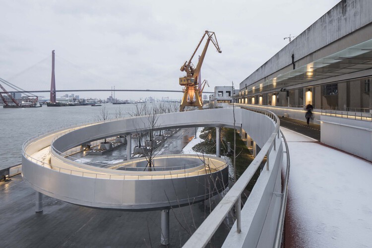
In most architectural projects, vertical circulation is expressed as a purely functional element, tucked away behind fire-rated doors or an elevator core. However, sometimes architects also use spirals when trying to resolve site elevation changes. Given the right scale, these elements allow for a more artistic formal expression that serves both utilitarian and aesthetic purposes without relying on mechanical lifts or stairwells. Structural systems like cantilevered steel trusses and reinforced concrete decks allow these spiral elements to extend outward as sheltered entry canopies or wind around open central atriums. Functionally, these circulation paths may be expressed in several ways: as stairs like the Itamaraty Palace in Brasilia, or as ramps, which can offer the possibility to reduce mobility barriers for visitors. In both cases, the spiral can provide smooth transitions across varied floor levels while maintaining an unobstructed line-of-sight throughout the program.
Howl's Moving Castle. Image Courtesy of Studio Ghibli
Every evening when we get home, without ceremony, we perform a small rite. We arrive at a door, we open it, and we step through into a space that belongs to us in a way no other space does. It is such a mundane act that we rarely notice it has a structure at all, and yet philosophers and anthropologists have written entire books describing these psychological structures. Interestingly, visual works such as the animated worlds of Studio Ghibli seem to reflect this dynamic to create worlds which contain architecture and layouts that provide a path to escape by tapping into our memories in a legible yet enchanted form.
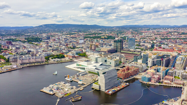
Oslo, Norway. Photo by Collection Maykova, via Shutterstock
Oslo is the capital of Norway as well as its largest city, serving as the country's political, economic, and cultural center. Nestled at the head of the Oslofjord and surrounded by forested hills, it's home to roughly 700,000 people in the city, with over a million living in the greater metropolitan area. Founded around a thousand years ago, Oslo has a long history as a trading post and administrative seat. However, much of its modern character was shaped after a major fire in the seventeenth century led to a full rebuilding under Danish rule, when it was briefly renamed Christiania. Today it consistently ranks among the world's most livable cities, prized for its blend of urban life and easy access to nature.
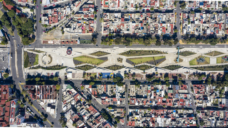
Mexico's rapid urban growth over recent decades has left many cities struggling with fragmented neighborhoods, high crime rates, and severe shortages of quality public spaces. In many low-income urban areas, informal development occurred alongside raw infrastructure like drainage canals, rail lines, and steep ravines, dividing communities and creating hazardous vacant zones. To address this spatial segregation and lack of civic amenities, public agencies and architects across Mexico are intervening in these abandoned buffer zones to construct public parks. By converting former physical barriers into accessible pedestrian corridors, these projects rejoin separated neighborhoods, re-establish safe visual sight lines, and provide spaces for community gathering and daily recreation.
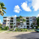
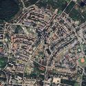
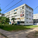
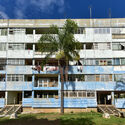
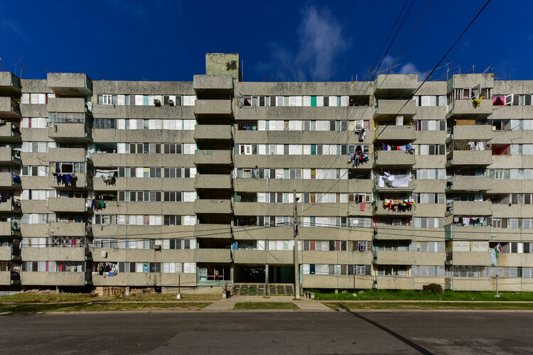
In the 1970s, Cuba faced a severe nationwide housing shortage due to population growth, rural-to-urban migration, and the degradation of existing housing stock. The government's answer was a system that pulled ordinary workers off their regular jobs and put them on building sites instead. This program, known as the Microbrigadas (microbrigades), reshaped entire districts of Havana, where they combined collective self-construction and state-backed technical knowledge, which left a mark on the urban grid of its capital city that persists until today.
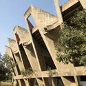
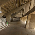
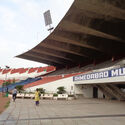
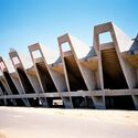
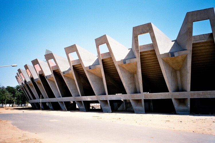
In the heart of Ahmedabad's Navrangpura district in India sits the Sardar Vallabhbhai Patel Stadium. More than just a cricket ground, the stadium stands as one of India's earliest experiments in modernist public architecture. Built in the decades following the country's independence, the structure has not only become an engineering landmark, but also a major public space within Ahmedabad's urban fabric. Despite the building's architectural and historical significance, as well as its deep involvement in daily community life, it has suffered significant physical degradation as a result of decades of poor maintenance and lack of funding. That fragility is precisely why it has drawn international attention. In 2020, the World Monuments Fund (WMF) placed the Sardar Vallabhbhai Patel Stadium on its World Monuments Watch, a global list highlighting cultural heritage sites facing urgent preservation challenges.
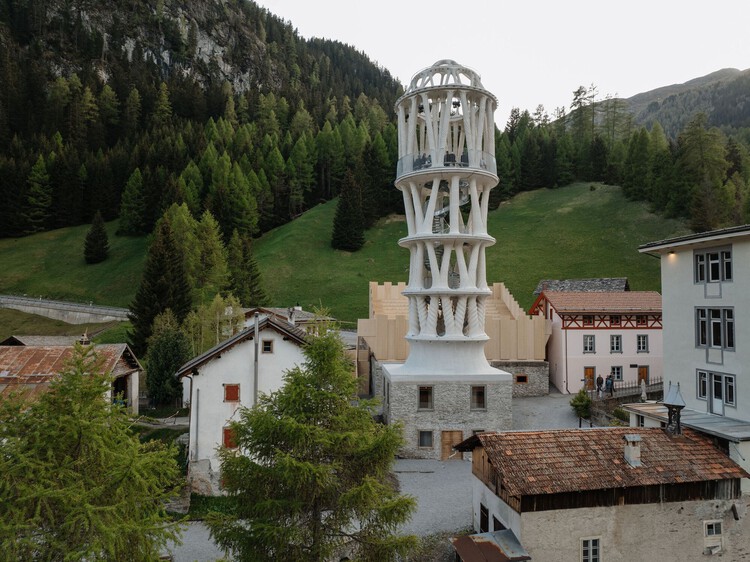
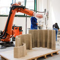
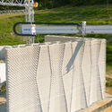
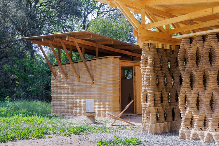
In 2021, a collaboration between the Italian architecture studio Mario Cucinella Architects and WASP, an Italian 3D-printing company, led to the development of TECLA: a house 3D-printed entirely from raw earth. Five years later, the technology behind it has grown, quietly spreading across several continents and design practices. By controlling the speed, angle, and path of the extruder nozzle, architects are able to create more than just walls. Throughout the years, they have been experimenting with how to shape the 3D-printed material into detailed surface motifs, reintroducing relief, texture, and intricate patterns directly into the structure. In this way, they are attempting to bridge earth-building traditions with digital computation, in an era where code is starting to influence form and material expression in architecture.
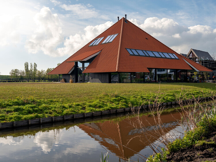
While pyramidal geometry appears in monumental historical structures, its contemporary application remains limited. The primary constraint is the sloping envelope, which contracts the building's floor area as it ascends and reduces usable interior volume compared to orthogonal or cylindrical forms. However, from a structural standpoint, the geometry offers lateral stability against wind and seismic loads due to its broad base, central mass distribution, and self-bracing triangular faces. Nonetheless, applying this shape at a residential scale introduces several layout constraints. These slanted walls limit vertical wall surfaces, which complicates the placement of standard windows, doors, and floor partitions. At the same time, the low clearance along the perimeter also creates unusable floor area at the edges of the room.
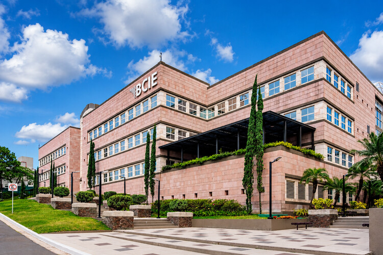
Pedestrian view of BCIE headquarters in Tegucigalpa. Image Courtesy of Banco Centroamericano de Integración Económica (BCIE)
Central America's nations occupy a narrow land bridge between Mexico and Colombia, but they were not born as separate countries. They emerged from a single entity: the Federal Republic of Central America in 1823. That federation collapsed, yet the ideal of a unified region never fully died. In 1951, the governments signed the Charter of San Salvador, creating ODECA, the Organization of Central American States. Four decades later, the 1991 Protocol of Tegucigalpa replaced it with SICA, the Central American Integration System, the framework guiding regional cooperation today. Within this integration process, the Central American Bank for Economic Integration (BCIE) was founded in 1960 by Guatemala, El Salvador, Honduras, and Nicaragua, establishing its headquarters in Tegucigalpa. On the surface, it is a conventional late-20th-century office complex, but look closer at its façade, and the building becomes an argument about identity. One written in pink quarry stone from the very hills that surround the Honduran capital.
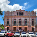
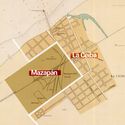
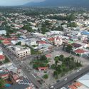
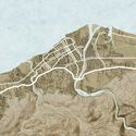
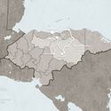
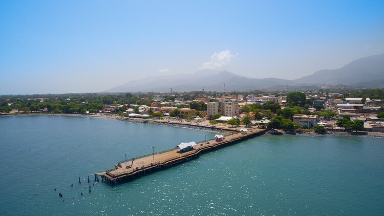
On the Caribbean coast of Honduras, lies the Leán valley, a narrow coastal strip lined by the Nombre de Dios Mountain Range to the South and the Caribbean Sea to the North. For a long time, this was the last frontier: dense jungle, swamps, no infrastructure, and difficult inland access. However, all of that started to change with the arrival of the Garífuna, who settled the area between the Danto and Cangrejal Rivers, setting the foundations of what would become the City of La Ceiba. An urban hub in the Honduran Caribbean whose history has been defined by migration waves: Central Americans, Afro-Caribbean people, Europeans, and corporate North America. These movements from all around the world did not merely contribute to economic growth, but actively produced the city's spatial logic, identity, and architectural form.
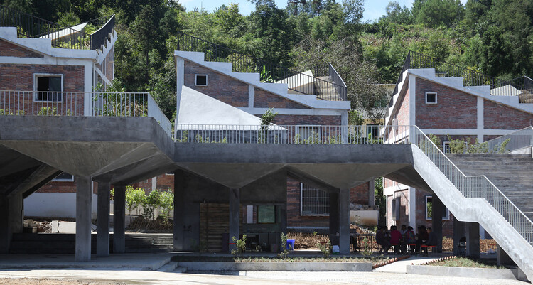
On June 24, 2026, a severe seismic event consisting of two major earthquakes with magnitudes of 7.2 and 7.5 struck north-central Venezuela just 39 seconds apart. The widespread destruction was concentrated along the country's northern coast, heavily impacting the capital city of Caracas and the neighboring state of La Guaira, where fragile urban infrastructure and vulnerable housing stock led to the collapse or severe damage of thousands of residential structures. This disaster mirrors previous devastating events observed during other major seismic events, including the 2008 Wenchuan earthquake and 2011 landslides in Sichuan, the 2014 Ludian earthquake in Yunnan, and the 2017 earthquake across central Mexico. When high-magnitude natural disasters damage entire communities, architects have the opportunity to help by proposing post-disaster architecture with strategic recovery models. Rather than relying on generic, standardized emergency shelters, conscious architectural design can deliver low-cost, rapidly deployable residential infrastructure that preserves human dignity through culturally contextual and dignified spaces.
The built environment has historically served humans as a mechanism of environmental control. Through our intellectual capacities and ability to organize, we have used buildings to actively influence and terraform the immediate context in which they are inserted, often treating geography, water, and ecosystems as resources to be extracted and managed. However, more and more, architecture is transitioning from exploiting physical and biological matter to actively collaborating with it. This shift demands that architects explore how buildings and their materials grow, transform, decay, and persist beyond human timelines. This thinking also serves as a starting point for the profession to reflect on how it influences the natural world, as well as the non-human species around it, creating networks and connections between humans, buildings, living organisms, and natural environments.
Best Presentation Award Winner. Image Courtesy of Buildner Unbuilt Award
In an industry defined by building codes, climate urgency, and the pressures of the real estate market, the architectural competition has quietly become one of the discipline's most generative spaces. Unburdened by budgets, clients, or city regulations, competition entries allow architects to think at the edge of what the built environment could be, and increasingly, that speculative work is being taken seriously as a cultural and intellectual contribution in its own right. Buildner's Unbuilt Award, now in its second edition, is one of those efforts, by treating the unbuilt project as a platform for architects and designers to share concepts that challenge boundaries and inspire future possibilities. In this way, competitions like this allow architecture professionals and students to showcase ideas and visions that, even without being constructed, reflect the spirit of exploration and ingenuity in architecture.
Every three years, the International Union of Architects' (UIA) World Congress lands in a different city, under a different theme set years in advance. A quick mapping of these host cities reveals a deliberate pattern: throughout the decades, the UIA has purposefully chosen a wide range of venues across all continents, rendering each edition a snapshot of what mattered in that specific place, at that exact moment. The result of this geographic rotation has been a diverse kaleidoscope of conversations, analyzing the profession from countless angles and adapting it to changing times. But 2026 is different; this time the UIA is repeating a host city for the first time: Barcelona, under the theme "Becoming. Architectures for a planet in transition".
Concept : Living and Working on the Moon. Image Courtesy of NASA
After Artemis II's return to Earth, NASA unveiled a new phased plan to establish a Moon Base. Although most of the media's attention went to rockets, budgets, and geopolitical competition, a quieter question was lingering for architects in the background: How can a human being actually live on the surface of the Moon, and for how long? The establishment of a permanent human presence on the Moon marks a fundamental shift in space exploration that requires a new architectural paradigm. In their presentation, NASA officials suggested the strategy would drift away from highly constrained, vehicle-dependent environments toward autonomous, site-adaptive, and eventually permanently habitable structures.