Download High Resolution World City Maps for CAD

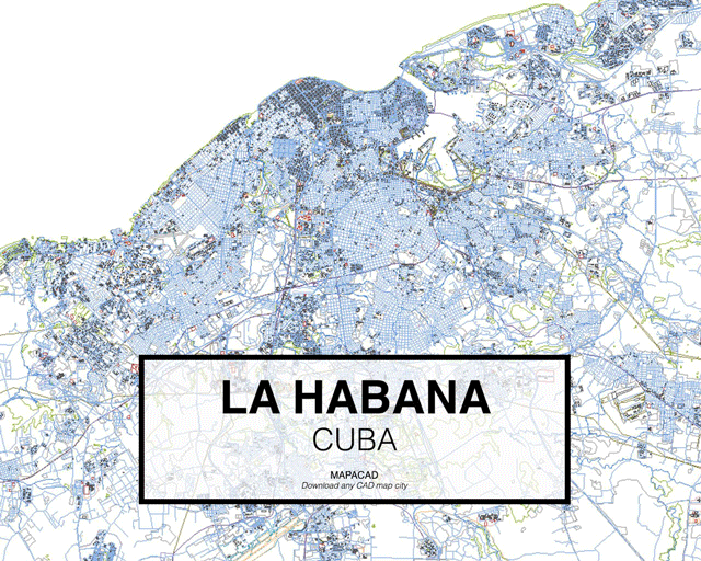
Mapacad is a website that offers downloads of .dwgs of dozens of cities. With 200 metropolises in their database, the founders have shared a set of their most-downloaded cities.

The files contain closed polyline layers for buildings, streets, highways, city limits, and geographical data--all ready for use in CAD programs like Autocad, Rhino, BricsCad and SketchUp.

To activate the free downloads, sign up at Mapacad.com and enter "Mapacad" as the coupon code when payment is requested. If you'd like to download additional maps, you can use the coupon code "PlataformaArquitectura" for a 25% discount. Clicking on the maps below will direct you to Mapacad so that you can begin your downloads.

Cortesía de Mapacad
Cortesía de Mapacad
Cortesía de Mapacad
Cortesía de Mapacad

Cortesía de Mapacad
Cortesía de Mapacad
Cortesía de Mapacad

About this author
Cite: Valencia, Nicolás. "Download High Resolution World City Maps for CAD" [Descarga estas ciudades del mundo en alta resolución para CAD] 12 Apr 2017. ArchDaily. (Trans. Quintal, Becky) Accessed . <https://www.archdaily.com/869052/download-high-resolution-world-city-maps-for-cad> ISSN 0719-8884

Cortesía de Mapacad

高分辨率的世界城市CAD地图可供下载

You've started following your first account!

Did you know?

You'll now receive updates based on what you follow! Personalize your stream and start following your favorite authors, offices and users.