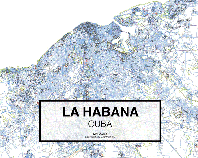
Mapacad is a website that offers downloads of .dwgs of dozens of cities. With 200 metropolises in their database, the founders have shared a set of their most-downloaded cities.
The files contain closed polyline layers for buildings, streets, highways, city limits, and geographical data--all ready for use in CAD programs like Autocad, Rhino, BricsCad and SketchUp.