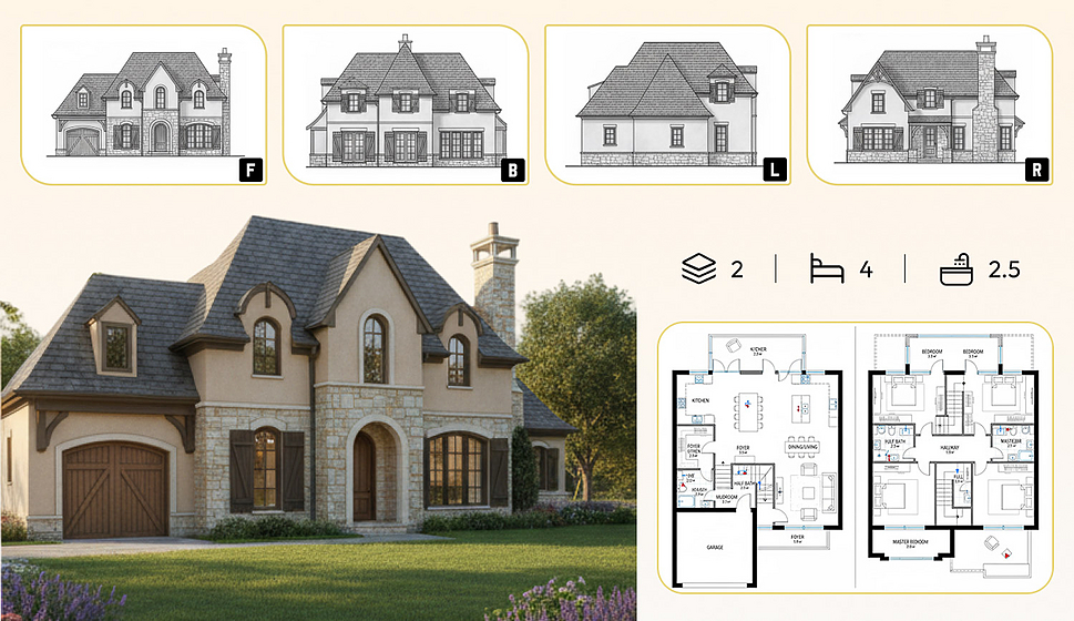
This guide covers a workflow that moves from project parameters to generated floor plans, 3D perspective views, exterior design exploration, and site context visualization, using AI tools in place of preliminary CAD and rendering work.
This guide covers a workflow that moves from project parameters to generated floor plans, 3D perspective views, exterior design exploration, and site context visualization, using AI tools in place of preliminary CAD and rendering work.
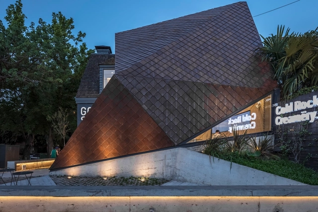

This article was originally published on Autodesk's Redshift publication under the title "5 Technology Innovations Can Help Your Architecture Practice Work Smarter."
Before airplanes, it took mail carriers on horseback months to transport letters across the country. Before washing machines, it took a full day of physical exercise to wash and dry a family’s laundry. And before cranes, it took decades—sometimes centuries—to build large structures such as castles and cathedrals.
The point being: Whatever you do, technology probably gives you a better way to do it.

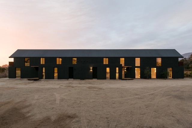

Frequently imperceptible to the inhabitant, the architectural plans of landscape designs are unquestionably the best tool for understanding certain relationships between elements and the strategic organization of the work. They are therefore an essential part of any good architecture project.
The distribution and type of vegetation, topography levels, the relationships between the preexisting urban or natural context, the possible routes and incorporated activities, and the materiality and the dimensional precision required for its construction are some of the considerations that are usually reiterated in this type of representation.
The result permits the communication of intentions in an organized way, while clearly exposing the concerns of the authors; for this reason, we invite you to review a series of different examples of architectural plans of public spaces that enables a comprehensive approach to the role of each project.
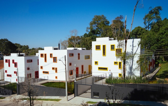
Harvard University Graduate School of Design (Harvard GSD) has announced the four finalists for the 2018 Wheelwright Prize, a $100,000 travel research-based grant available to early-career architects worldwide.
Selected from over 125 applications from nearly 40 countries worldwide, the four finalists are from Belgium, Mexico, Brazil, and the United States. This year’s jury includes 2014 Wheelwright Prize Winner Jose Ahedo, Edward Eigen, Frida Escobedo, K. Michael Hays, Mark Lee, Mohsen Mostafavi, and Michelle Wilkinson. A winner will be named in April.
Read more about the four finalists below:
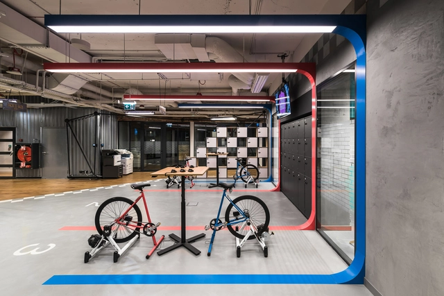

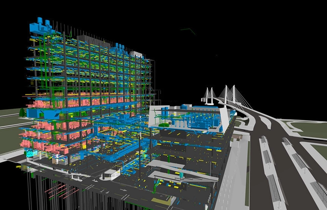
On March 8 and 9, 2018, Barcelona hosted the European BIM Summit, an annual international congress on Building Information Modeling (BIM). The event focused on promoting best practices in BIM use, sharing methodologies, and fostering international alignment.
During the summit, Ana Rojo, Director General of Production and Engineering at Ineco, announced that public building construction projects in Spain must use BIM methodology by the end of 2018. Ineco is part of the European Public Administration Group and has been commissioned to draft the Manual of Common Practices for BIM implementation. Along with the es.BIM commission, the organization is responsible for implementing this methodology across all processes carried out by Spain's Ministry of Development.


Following its presentation and discussion with restaurant, commercial, and resident associations, the Mayor's Office of Cartagena (Colombia) announced the pedestrianization of 45 streets in its historic center, as reported by Caracol Radio. The decision is backed by the Bolívar Trade Council through its executive director, Patricia Galindo, who told the local outlet that the project will regulate traffic in the historic center and the San Diego neighborhood. This and other measures aim to improve mobility for residents, citizens, and tourists in the area.
The Bolívar Trade Council has participated in the various events organized by the District to coordinate these measures. Crucial to this process was listening to all stakeholders, as well as the district administration's willingness to lead on one of its most important issues, working to find effective and consensus-driven solutions for everyone.
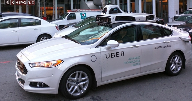
Since the concept of driverless cars first became a serious prospect, a lot of attention has been given to the possibility of their malfunction—if an autonomous vehicle damages property or even harms a human, who is at fault? And, given a worst-case scenario, how should a vehicle's software choose between whose lives it prioritizes, the passenger or the pedestrian? This last question even became the basis for the Moral Machine, an online platform created by the MIT Media Lab that essentially crowdsources public opinion on different variations of the classic trolley problem thought experiment.
However, all of these questions had been considered largely theoretical until last night when, as The New York Times reports, a woman was struck and killed by an autonomous vehicle in Tempe, Arizona. As a major component of many predictions of futuristic "smart cities," the development and testing of autonomous vehicles hold huge implications for urbanism (ArchDaily has previously covered predictions of major change by car manufacturers and researchers) meaning that this fatal event could have a ripple effect on the development of cities.
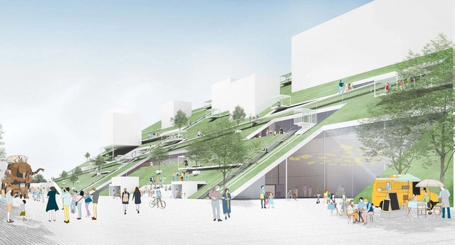
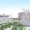
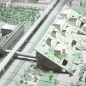
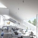
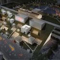
Riken Yamamoto & Field Shop has released images of the proposed Taoyuan Museum of Art in Taiwan, having won an international competition for the scheme’s design in 2018. Acting as a symbolic gateway to the heart of the city, the architect’s vision was for a hub where every visit leads to new discoveries and experiences.
Named “The Hill,” the competition-winning scheme is defined by a sloping green roof, hosting artwork, pavilions, trees, and an outdoor theater. Beneath the roof, a structure named “The Cube” contains permanent exhibitions and collections, and establishes a link between the museum and Blue Pond Park beyond.