15-minute cities are a trending urban planning topic that has long been discussed academically and is now slowly being implemented across existing cities in Europe. But now, the first 15-minute city is being designed and built from scratch in Utah. Dubbed “The Point”, the new 600-acre city will be located just outside Salt Lake City, and will be a redeveloped former state prison site where new jobs, housing, public spaces, amenities, and transportation will serve almost 15,000 people in an attempt to explore a prototype for how innovative urban planning concepts can improve the public health and wellness.
Compared to that of the West and East, awareness and knowledge of the architecture of sub-Saharan Africa—Africa south of the Sahara Desert—is scant. A new book intends to mitigate this oversight, and it’s a significant accomplishment. Architectural Guide Sub-Saharan Africa (DOM publishers, 2021), edited by Philipp Meuser, Adil Dalbai, and Livingstone Mukasa, was more than six years in the making. The seven-volume guide presents architecture in the continent’s 49 sub-Saharan nation-states, includes contributions by nearly 340 authors, 5,000 photos, more than 850 buildings, and 49 articles expressly devoted to theorizing African architecture in its social, economic, historical, and cultural context. I interviewed two of the editors—Adil Dalbai, an architectural researcher and practitioner specializing in sub-Saharan Africa, and Livingstone Mukasa, a native Ugandan architect interested in the intersections of architectural history and cultural anthropology—about the challenges of creating the guide, some of its revelations about the architecture of Africa, and its potential impact.
https://www.archdaily.com/979526/a-remarkably-comprehensive-new-guide-to-the-architecture-of-sub-saharan-africaMichael J. Crosbie
Coastal cities have always been a point of attraction for residents, tourists, and businesses. Alongside the aesthetic features, their proximity to the sea has made these cities a focal point for maritime transportation with the construction of ports, as well as hotspots for recreational and aquacultural activities. However, the past decades saw these particular regions threatened with a shortened lifespan; rising water levels, floods, and recurring cyclones, along with other natural disasters, have endangered coastal communities, putting their population, ecosystem, and built environment at risk.
Distrito 13 en Medellín, Colombia. Imagen de JorgePM. Image via Shutterstock
Within the Latin American and Caribbean region, it has been recorded that at least 25% of the population lives in informal settlements. Given that their expansion is one of the major problems afflicting these cities, a project is presented, supported by the IDB, which proposes how new technologies are capable of contributing to the identification and detection of these areas in order to intervene in them and help reduce urban informality.
In urban design, suburbs can be a contentious topic. That is in part because the term lends itself to nebulous and ever-changing definitions. In its simplest form, the suburbs are residential communities within commuting distance, located a fair bit away from the heart of metropolitan areas. The American context sees suburbs viewed with some hostility, with racist ‘redlining’ practices a dark legacy to particular suburbs in the country. In a more superficial sense, American suburbs have often been criticised for their uniformity in appearance – portrayed as soulless dwellings absent of a sense of community.
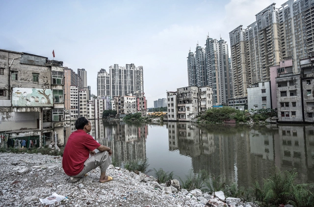
As is obvious to anyone with even a passing interest in demographics, cities are becoming denser—much denser. Rural life continues its steady emptying-out as urban life accelerates its explosive filling-in. The tilt has been apparent at least since the middle of the last century when the French geographer Jean Gottmann invented the word “megalopolis” to describe the continuous urbanization from Boston to Washington, D.C., then containing one-fifth of the United States’ population. But nowhere has the shift from countryside to city been more dramatic than in present-day Asia.
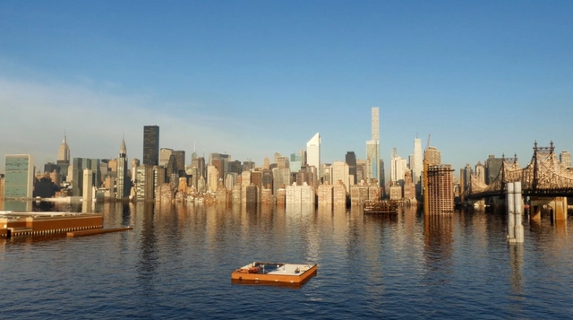
Courtesy of Menilmonde via screenshot from 2°C New York City video
Following an extensive report on the impacts of climate change last year, the second installment of the Intergovernmental Panel on Climate Change (IPCC), the United Nation's body for assessing the science related to climate change, addresses the current and anticipated impacts of climate change on ecosystems, biodiversity, and human communities across the globe, along with action plans on how the natural world and human societies could adapt to these changes before reaching an "irreversible" state.
Recently, the Nobel laureate economist Paul Krugman wrote in the New York Times about the causes of unaffordable housing in New York City. He blamed the crisis on a few things, including a powerful financial “monoculture” in the city, NIMBYs, and the city itself blocking new construction. That last element, however—that the city blocks new construction—is an increasingly popular myth that needs examination.
In a tour of the layout of Buenos Aires, around 500 passages are distributed throughout the city. Regardless of the neighbourhood in which they are located, they represent postcards of contemporary urban architecture with a tinge of improvisation. However, they bear witness to the organisation of Buenos Aires, which aspired to a checkerboard regularity.
On many occasions, it is difficult to tell the difference between the passage, the cut-off and the dead-end street, but they are all part of the urban space, that place of exchange, of encounter, of signs, symbols and words where people live, play and learn at the same time.
Kinetic Cities, courtesy RMA Architects. Image Courtesy of RMA Architects
Rahul Mehrotra is an urbanist, educator, and founding principal of Mumbai- and Boston-based Rahul Mehrotra Architects (RMA Architects). Across India, Mehrotra has designed projects that range from master plans to weekend houses, factories, social institutes, and office buildings. Over decades, his endeavors in urban activism have culminated in the founding of the firm’s Architecture Foundation, which focuses on creating “awareness of architecture in India” through research, publication, exhibitions, and inclusive public dialogue surrounding architectural ethics and values.
Cities face much criticism with how they handle their car population, but have you ever thought about how much land use is dedicated to surface parking lots? In fact, it may be one of the most prominent features of the postwar city in the United States. Housing, community facilities, highway infrastructure, often garner much attention, but the amount of land dedicated just to park cars is astounding.
Helsinki seeks to transform the Makasiiniranta area into an extension of its pedestrian city centre through a competition that will reshape a significant part of its maritime façade. The two-phase competition has shortlisted nine international groups whose proposals were made available for public feedback under anonymity. As most of the former industrial areas of the city have been redeveloped, Makasiinirantais is the last part of the old harbour waiting to undergo transformation and the most significant one, as it is considered a nationally valuable environment.
Videos
The Digital Twin . Image via Shutterstock/Videoflow
The emergence of the Digital Twin phenomenon has heralded a great change in terms of urban planning. It essentially presents the city as dynamic, in virtual form. Ensuring every element from the historic fabric, new construction, and public transit is accounted for in one three-dimensional model. Not only does it present key elements in terms of the landscape, but it also encompasses often overlooked conditions such as the presence of light throughout the day, shadows, and the presence of vegetation and trees. All of which contribute to a better preliminary process of site analysis.
New Orleans was designed by its early settlers in 1721 as a Cartesian grid. You know it as the famous French Quarter or Vieux Carré. Such grids are named for the Cartesian coordinate system we learned to use in algebra or geometry class, perpendicular X and Y axes, used to measure units of distance on a plane. The invention of René Descartes (1596–1650), these grids reflect his rationalism, the view that reason, not embodied or empirical experience, is the only source and certain test of knowledge. William Penn used a similar grid in 1682 in selling Philadelphia as an urban paradise where industry would thrive in the newly settled wilderness. And just as the massive buildings of Italian Rationalist (i.e., Fascist) architecture express authoritarian control, so, too, Cartesian grids implicitly say: Someone is in charge here. We’ve got this. Trust us.
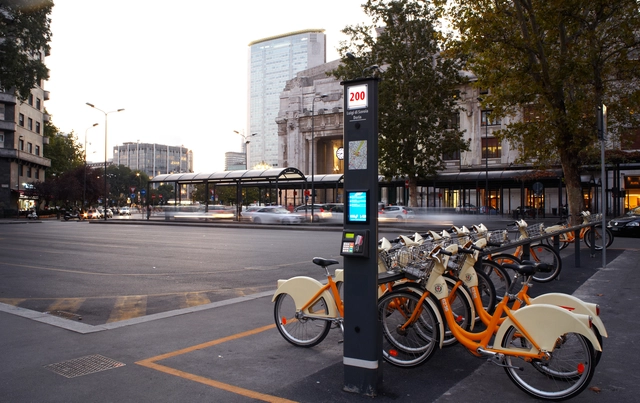
As part of Milan's ongoing vision of bicycle-friendly highways, the Metropolitan Council of Milanhas approved its Biciplan “Cambio” project, a new transportation system that introduces "super-cycle" corridors across the urban fabric, prioritizing cycling, environmental protection, safety, and wellbeing. The project aims to compliment existing cycle paths with 750 kilometers of new corridors that will connect the city's 133 communes with its wider metropolitan area, and increase the amount of bicycle trips and reach by 10% internally and 20% on a greater scale.
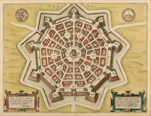
The concept of an “ideal city” is something that is often talked about today, as we look towards the future and think about what aspects of urban life we feel are most important for residents to thrive in a healthy community. However, ideal cities were conceived during the Italian Renaissance, as planners and architects prioritized rationale in their designs focusing on human values, urban capacities, and the recursive waves of cultural and artistic revolutions that influenced large-scale planning schemes.