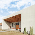
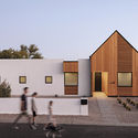
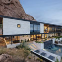
Arizona is located in the western region of the United States. It has geographical borders with Utah, Colorado, and New Mexico, in the United States, as well as with Sonora in Mexico. The state is also situated on the Sierra Madre Occidental and is home to a segment of the Colorado River, as well as the Grand Canyon. Part of Aridoamerica, Arizona's landscape is composed, in its majority, of Cactaceae and desert species.
We are in an unholy mess. It is a pandemic, with insane politics, and centuries of hideous racial injustice screaming out humanity’s worst realities. Each day reveals more disease, more anger, more flaws in our culture than anyone could have anticipated.
This season’s inscrutable fears are uniquely human. The natural world flourishes amid our disasters. But architecture is uniquely human, too. Architecture’s Prime Directive is to offer up safety. So in this time of danger, it is a good idea to think about the flip side of so much profane injustice and cruelty, Sacred Space? Architecture can go beyond playing it safe and aspire to evoke the best of us, making places that touch what can only be defined as Sacred.
What is Sacred Space? Whether human-made or springing from the natural world, Sacred Space connects us to a reality that transcends our fears. The ocean, the forest, the rising or setting sun may all define “Sacred”. But humans can make places that hold and extend the best in us beyond the world that inevitably threatens and saddens us. Architecture can create places where we feel part of a Sacred reality.
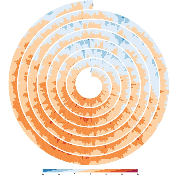
Manuel Lima is a designer, researcher and author well known for his work on visualizing and mapping complex networks. A Fellow of the Royal Society of Arts, he was named one of the "50 Most Creative and Influential Minds" by Creativity magazine, and is both the founder of VisualComplexity.com and a Senior UX Manager at Google.
We talked with Lima to find out his thoughts on the connection between data visualization and architecture. The following conversation explores his inspirations and process, as well as his views on how data visualization can help improve the quality of our cities.
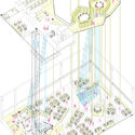
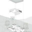
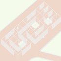
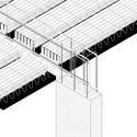
An axonometric perspective, also called parallel projection or axonometry, is an orthographic projection on an oblique plane as a means of representing three-dimensional objects. It is a very efficient way to illustrate a project since it can represent not only conceptual schemes but also construction details in a very didactic style. It allows us to change the position of the viewer when rotating the axes and thus generating several visual combinations of the design, that can help answer any questions the contractor or client may have.
Created by Argentinian photographer and visual artist Federico Winer, Ultradistancia, the fine art project based on high-resolution satellite images, has released its latest series “Monsters of Mine”. Showcasing pictures of large mines from all over the world, "Monsters of Mine" reveals a fascinating carved out topography.
























.jpg?1593664464&format=webp&width=640&height=580)
.jpg?1593664852 "© Fernando Guerra | FG+SG")
.jpg?1593664477 "© Fernando Guerra | FG+SG")
.jpg?1593665178 "© Fernando Guerra | FG+SG")
.jpg?1593664464)












.jpg?1590746708&format=webp&width=640&height=580)
.jpg?1590654629 "ALUMBRERA (Catamarca, Argentina). Image © Ultradistancia")
.jpg?1590656051 "BODDINGTON (Western Australia, Australia). Image © Ultradistancia")
.jpg?1590745217 "SOSSEGO (Pará, Brazil). Image © Ultradistancia")
.jpg?1590658783 "HULL RUST MAHONING (Minnesota, USA). Image © Ultradistancia")
.jpg?1590746708)