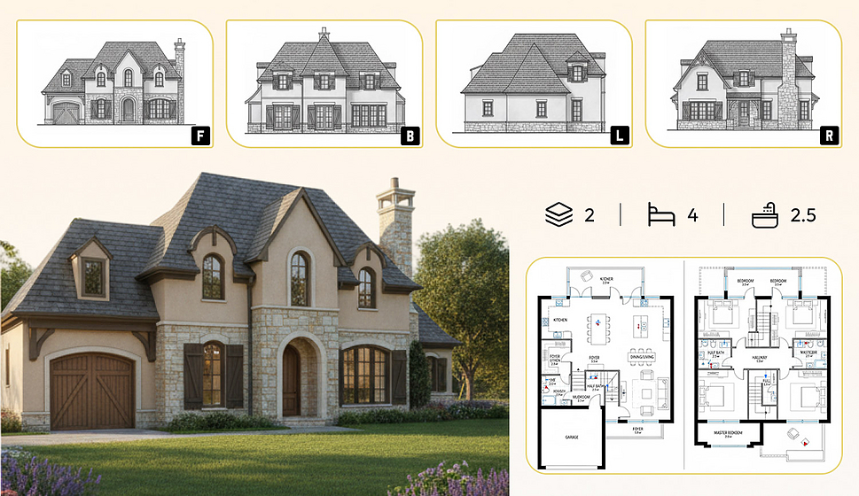
This guide covers a workflow that moves from project parameters to generated floor plans, 3D perspective views, exterior design exploration, and site context visualization, using AI tools in place of preliminary CAD and rendering work.
This guide covers a workflow that moves from project parameters to generated floor plans, 3D perspective views, exterior design exploration, and site context visualization, using AI tools in place of preliminary CAD and rendering work.



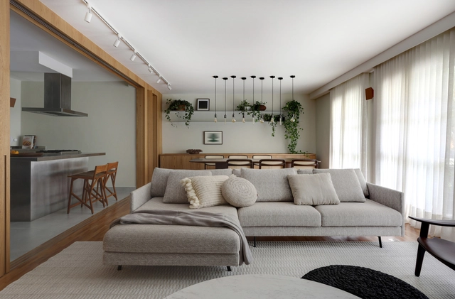
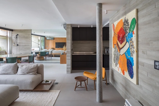
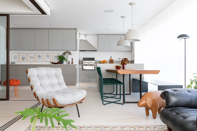
Most real estate brochures proudly showcase a specific feature: the gourmet balcony. Have you ever stopped to think that perhaps these spaces, typically equipped with a barbecue grill, say more about real estate speculation than about the actual barbecue culture in Brazil?

Living, working, and experiencing cities with vibrant streets, downtowns, and parks, adequately sized sidewalks, efficient public transit, and low congestion levels are shared aspirations worldwide. Achieving these conditions is no easy task, and cities that offer them certainly did not do so through car-oriented planning.
With populations daily subjected to poor examples of how a city should function, certain paradigms, phenomena, and policies continue to hinder the planning and operation of “cities for people.”


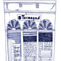
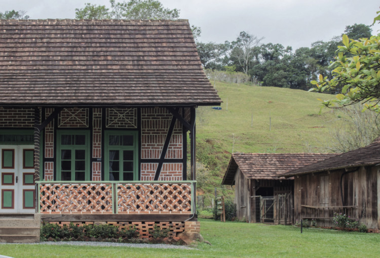
A watercolor-illustrated tourist map, a mobile application available for Android and iOS, and two books gathering stories from the neighborhoods of Rio da Luz, in Jaraguá do Sul, and Testo Alto, in Pomerode—both in Santa Catarina—comprise the Projeto Lumiar. The initiative will launch these products online at 7:00 PM this Thursday, the 8th. The result of two years of research with local communities, the launch event is supported by the National Historic and Artistic Heritage Institute (Iphan).



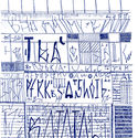
Have you ever thought about walking? This is the question that GUIAPÉ SP — a guide presented here through an essay — asks its readers. From the cover on, it proposes walking through the city of São Paulo, charting a route that strategically passes through places where arriving on foot is precisely the point, revealing overlooked details, people, and urban life. This guide was not made for sightseeing, but rather to take its readers on a journey. Within its pages, the route and the sidewalks are not merely paths leading to destinations; they are part of the journey itself.

To talk about architecture and social media is to immediately think of Instagram. Launched in 2010, the app was characterized from the very beginning by combining photo sharing with typical social network features. Its success was extraordinary; within hours of its launch, it was already the most downloaded free photography app. Within two months, the number of registered users surpassed the one-million mark.


The 13th NUTAU 2020 International Seminar, scheduled for November, will be held entirely online. The central theme, "Valorization of Urban Forestry Waste," aims to explore its potential for research and projects across relevant fields of study.


Paul Romer, a Nobel laureate in economics, believes that a key factor in the success of urban agglomerations is a clear definition of public and private space before the construction of a neighborhood or city begins.
The author illustrates the success of this strategy with a classic case: the New York street grid. Long before Manhattan Island was physically developed with streets or buildings, the Commissioners' Plan was established in 1807, outlining the gridiron of public and private spaces that would define the city's future.