

-
Architects: Alejandro Restrepo-Montoya Arquitectura, Estudio Central
- Area: 450 m²
- Year: 2023
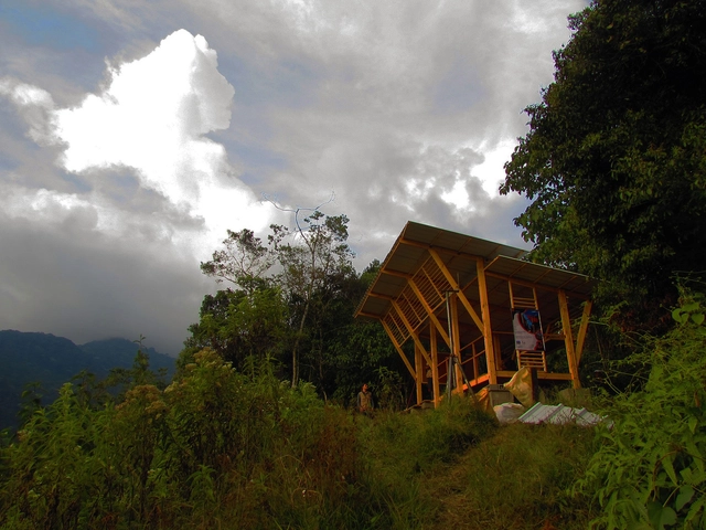
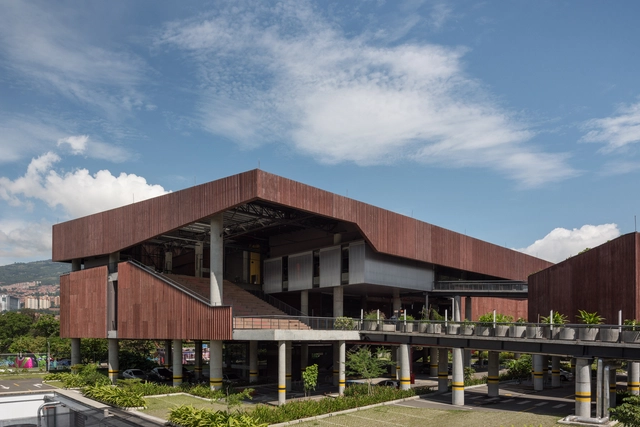
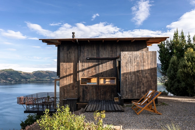
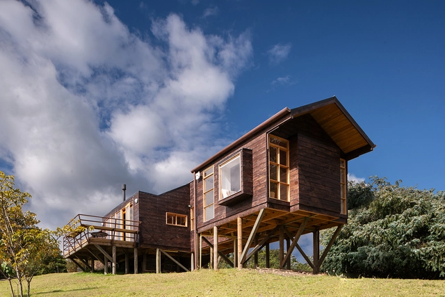

In the western part of Bogotá, between Calle 80 and the Juan Amarillo Wetland, lies one of the most interesting urban and architectural projects in the history of Colombia: the Ciudadela Colsubsidio. Created in 1983 as a response to Law 21 of 1982, which required social security organizations to provide housing for their members. Colsubsidio, the project manager, hired Germán Samper to tackle a 130-hectare plot located between two well-established neighborhoods (Santa Bárbara and Bolivia). The challenge was to connect these neighborhoods while creating a citadel that would consolidate various essential services for a population that, due to its geographical location, was distant from the center of Bogotá.
The challenge Samper faced was to develop a clear urban structure that would articulate the existing neighborhoods along the east-west axis and, along the north-south axis, connect the Juan Amarillo Wetland with Calle 80, the main road that would serve the entire neighborhood. From the initial design, it was evident that the architect was concerned with creating and developing a spatial experience for the residents, where the neighborhood itself would be the manager of spaces that directly integrate daily life with architecture, responsible for defining the spatial boundaries they aimed to create.
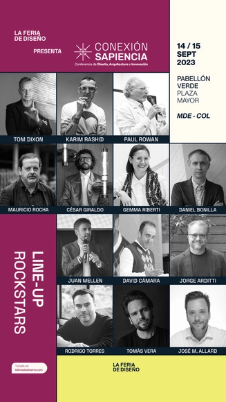
La Feria De Diseño will celebrate its first decade this year, featuring an international academic agenda with over 15 international guests, including Karim Rashid and Tom Dixon, two major global design figures.
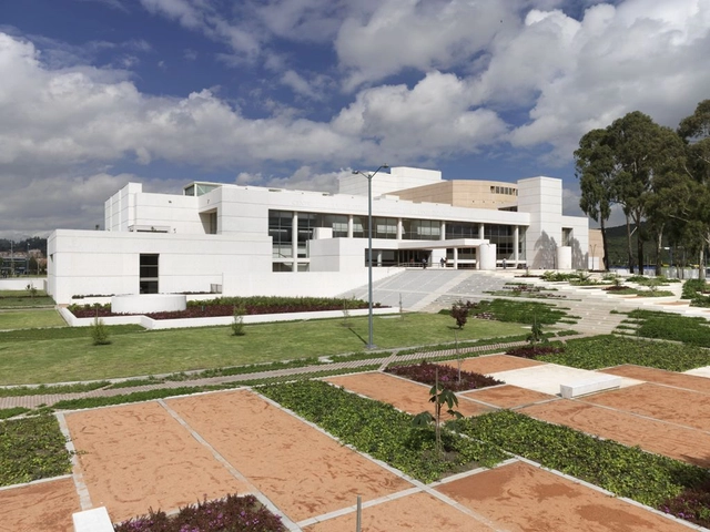
The intervention project includes the design of the Julio Mario Santo Domingo Cultural Center and Public Library, as well as the 6-hectare San José de Bavaria recreational park. With its completion, a new recreational and cultural hub was established for the Suba area and the city.
The "Geographic Information Systems (GIS) Applied to the Territory" course introduces this system, which allows for the capture, storage, analysis, management, and presentation of all types of geographic data by establishing relationships between architecture, territory, and GIS.
Throughout history, schools and prisons have shared the same spatial principles, as they were built to discipline and direct their inhabitants and users. However, in recent years, new visions have finally begun to emerge regarding how we should teach within an increasingly less hierarchical and pyramidal system, and how spaces intended to foster the creation and exchange of knowledge should be designed. Simultaneously, educational buildings in Colombia have become increasingly regulated, bringing their design to a level of specialization comparable only to hospital architecture.
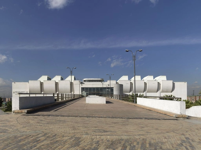
El Tintal Library is the result of reusing a former disused waste transfer plant and transforming the 5-hectare site into a park along Avenida Ciudad de Cali with 6th Street. The rescued building from ruin was a 25-meter-wide by 72-meter-long industrial warehouse with a total area of 3,600 m², distributed over two floors of considerable height. Built with a sturdy concrete structure and large spans, it was adaptable to new use, enhancing its robust and industrial appearance.