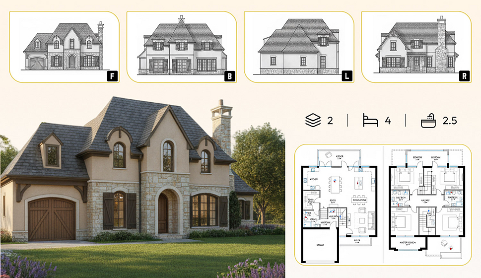
This guide covers a workflow that moves from project parameters to generated floor plans, 3D perspective views, exterior design exploration, and site context visualization, using AI tools in place of preliminary CAD and rendering work.
This guide covers a workflow that moves from project parameters to generated floor plans, 3D perspective views, exterior design exploration, and site context visualization, using AI tools in place of preliminary CAD and rendering work.
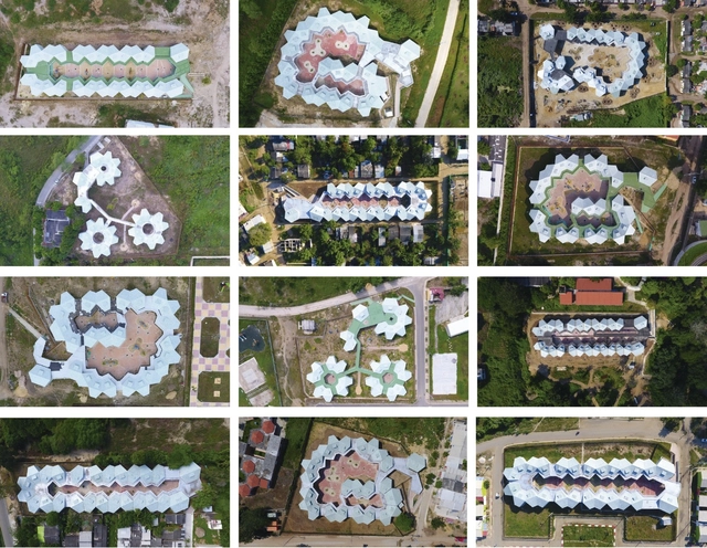
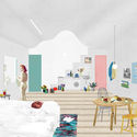
El Equipo Mazzanti's ongoing commitment to improving spatial quality and the experience of educational environments is one of the defining hallmarks of Colombian practice. Below, they share an in-depth exploration of their project, the modular preschool system - CDI for the department of Atlántico in northern Colombia.

Architecture is constantly changing and adapting to new needs, which are linked to social, economic, technological, political, and demographic changes. In this sense, the aging population is one of the most outstanding changes of the 21st century: The increase in life expectancy and the decrease in fertility rates mean that the older population is increasingly numerous. How can architecture help to provide a better quality of life, promote the autonomy, dignity, and well-being of the elderly?
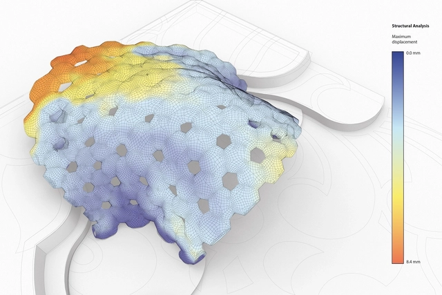
When someone mentions architecture visualization, most immediately think of sketches, computational renderings, and drawings. This connection occurs because we almost always associate visualization with picturing a project that is not yet built, either for the validation of aesthetic and functional decisions or to represent the idea to a client, who is often unfamiliar with technical drawings. Yet in addition to considering superficial elements such as materials, plans, textures, and colors, when carrying out a project, the architect needs to be aware of technical issues that are invisible to the naked eye, which may directly influence the project.
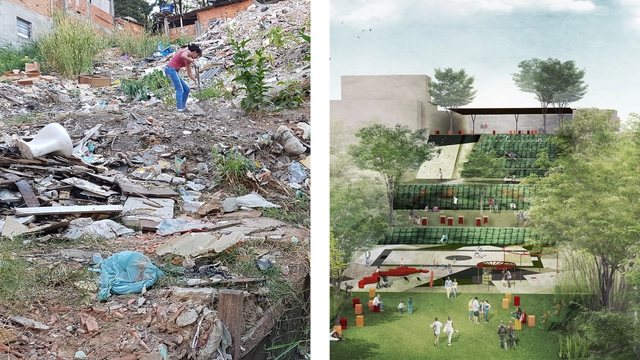
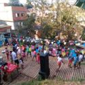
Fazendinhando is a movement for physical, cultural, and social transformation in Jardim Colombo, created by and for its residents through the reclamation of public spaces and art and culture initiatives aimed at community integration.
The movement's primary focus is the transformation of a 1,000 m² area, known as Fazendinha, into a park. The development of this space relies on physical site remediation paired with a continuous cultural and artistic program that engages the local community and regular users of the space.
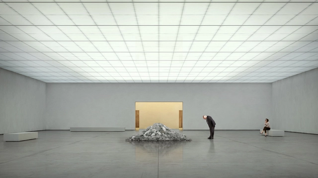
In architecture, professionals must constantly deal with the challenge of representing a project clearly and understandably before it is built, making the space somehow more perceptible to people who are often not specialized in the field. Rendering is one of the most popular methods of three-dimensional representation among architects because it portrays the project more realistically. Reality, however, implies the presence of people and their ways of inhabiting spaces, which can be depicted through human figures, that must be coherent with the intended picture and interpretation of the architecture, the place it is located in, and the way it is inhabited.
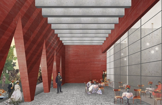
During the first stages of architecture design architects must find the best way to convey their ideas to their clients so that despite having no technical knowledge, they can fully grasp the concepts. Therefore, professionals often rely on a certain tool or set of tools to represent what they have initially idealized, either through two-dimensional drawings, physical models, or perspective images. The latter seems to be the easiest for laypeople to comprehend, so architects have constantly sought to incorporate a set of new artistic approaches with the support of technological resources.
 Autonomous vehicles can read Baidu POIs (Point of Interests) and digitally enable a physical interaction between riders and surrounding landscapes. (Image © Shuman Wu, Huai Kuan Chung, Carmelo Ignaccolo for the UABB 2019 “Transforming the landscapes of mobility”)
What happens when the sensor-imbued city acquires the ability to see – almost as if it had eyes? During the 2019 Shenzhen Biennale of Urbanism\Architecture (UABB), titled "Urban Interactions," Archdaily is working with the curators of the "Eyes of the City" section at the Biennial to stimulate a discussion on how new technologies – and Artificial Intelligence in particular – might impact architecture and urban life. Here you can find all the information about the “Eyes of the City” section, curated by Carlo Ratti, Politecnico di Torino, and SCUT - including exhibits, events, and project's blueprints.
From horse-drawn trolley to railways to the automobile, innovations in transportation have shaped not only the way our cities develop but also how people experience the surrounding landscapes while in motion. When in the 5th millennium BCE, Sumerians developed the first freely-spinning wheel with axle mechanism, this invention not only brought significant military advantage during the city-state wars in Mesopotamia but it also boosted the development of cities.
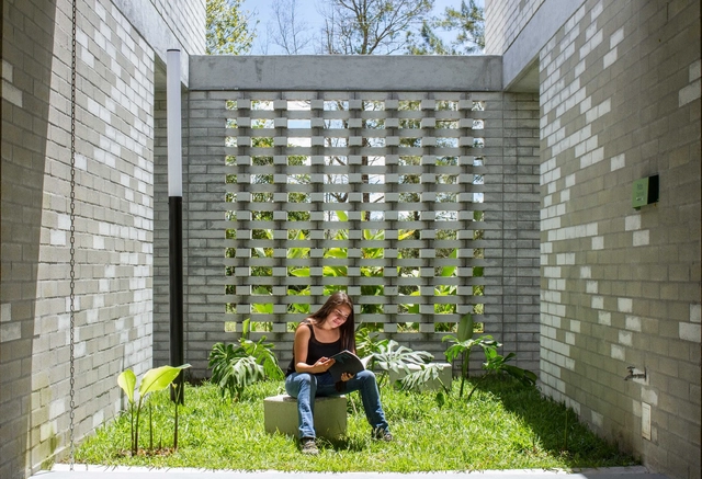
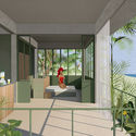
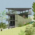
In countries where architecture adapts to the seasons, projects must respond so that they are comfortable for the users, both in the hot summer temperatures and in the cold winter. Tropical countries, such as Colombia, are a bit luckier. The temperature of construction sites depends less on the seasons and more on where they are located geographically according to the altitude above sea level; the closer they are to the sea, the warmer it is. For this reason, it is not essential to seal or insulate the interior spaces. On the contrary, the good management of constant ventilation creates a more permeable and contextual architecture.
We have put together a series of projects with different architectural programs: local markets, health facilities, cultural, education and housing projects. They show that with different construction techniques, you can begin to control the permeability, air flow, privacy or solar heat gain. Explore each of these projects below.
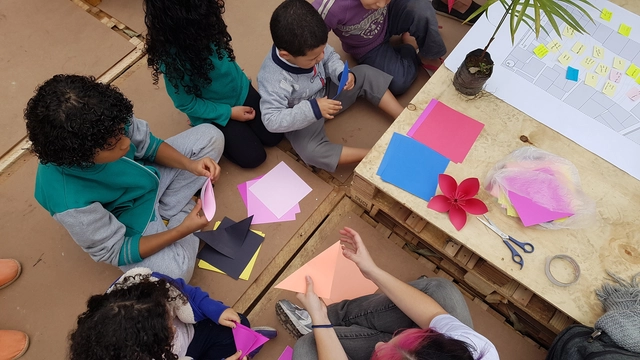
The landscape of Brazilian cities shifts between two striking realities. On one hand lies the formal city, where the rule of law prevails, the right to the city is exercised, and high-quality infrastructure and public and private investments are concentrated. This is also the reality used as the baseline for formulating laws and urban planning guidelines, and where the presence of the state is most visible.
On the other hand, there is the informal city—occupying the peripheries and favelas, with an identity marked by exposed clay bricks and excessive density. Here, self-built housing dominates, regardless of land ownership, alongside informal occupation and a chronic absence of public policies and basic infrastructure. Leisure spaces, cultural venues, and green areas are deeply lacking.

Many times I have not been able to decipher whether the video or the image I was looking at was real. In the same way, I had to convince friends or relatives —namely, people unfamiliar to the idea of the architectural render— several times that a building featured in a storefront advertisement or in a printed magazine was not real. There is no longer a gap —or limits— between hyper-realistic, computer generated visualization and reality itself. Are we reaching the limits of visualization of our spaces? Do our architectural visualizations meet our architectural expectations?

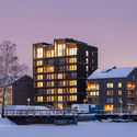
Currently, the most common materials used in high-rise construction—steel and concrete—are non-renewable and energy-intensive to produce. In this context, wood represents a more sustainable alternative for tall building structures, offering well-known benefits such as renewability, carbon sequestration, low embodied energy during extraction, and rapid construction times. Moreover, contrary to popular belief, mass timber can perform exceptionally well in terms of fire resistance, as discussed in a previous article.
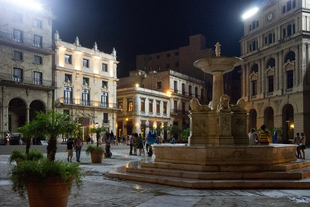
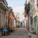
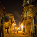
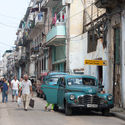
Havana appeals to those who romanticize the idea of a city that seems to be completely frozen in time. The capital’s urban fabric proudly displays its history, as it experienced waves of Spanish, Moorish, and Soviet influence. What really lies beyond the Revolutionary kitsch of vintage Buicks parked in front of colorful, yet crumbling homes, is the deprivation that Cuba has experienced throughout history.
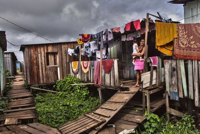
The Belo Monte Hydroelectric Power Plant, the fourth largest hydroelectric plant in the world and 100% Brazilian-owned, was inaugurated in November 2019 in the Xingu River basin, in northern Pará. The project, operated by the Norte Energia S.A. Consortium, was part of the PAC (Growth Acceleration Program)—a federal government initiative established in 2007 aimed at implementing large infrastructure projects to boost national development, mirroring past initiatives.

The D1 swivel chair family designed by Stefan Diez for Wagner keeps users moving with its innovative joint mechanism, while fundamentally changing our conception of how office chairs look.
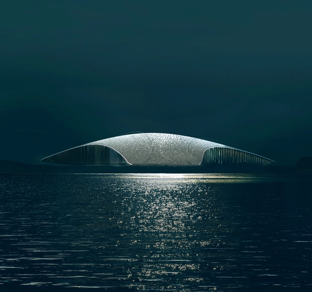
As architecture is increasingly reliant on renderings to convey its message and depict the unbuilt, many practices turn to seasoned 3D artists to help them portray their designs in the most favourable light; thus they externalize visualizations to a handful of firms.
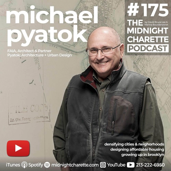
The Midnight Charette is an explicit podcast about design, architecture, and the everyday. Hosted by architectural designers David Lee and Marina Bourderonnet, it features a variety of creative professionals in unscripted conversations that allow for thoughtful takes and personal discussions. A wide array of subjects are covered with honesty and humor: some episodes provide useful tips for designers, while others are project reviews, interviews, or explorations of everyday life and design. The Midnight Charette is also available on iTunes, Spotify, and YouTube.

This week David and Marina are joined by Michael Pyatok, FAIA Architect, Educator, and Principal of Pyatok Architecture and Urban Design, to discuss his proposal for density in cities, growing up in Brooklyn, low-income housing design, working with communities, and more. This episode is part of a series produced with the support of the SF Urban Program, Architecture Department, Cal Poly. In 2012 Michael was inducted into the Marvin Design Hall of Fame and in 2013 the AIA awarded him its annual Thomas Jefferson Award for Public Architecture in recognition of his contribution to the design of affordable housing.
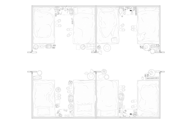
The work presented in this article is the outcome of drawings done by the students of the Graduate School of Design at Harvard University in their second-semester studio, conducted by Alfredo Thiermann (ThiermannCruz). The work was produced during a 6-week long period of distance-learning after the school was shut down at the beginning of March.
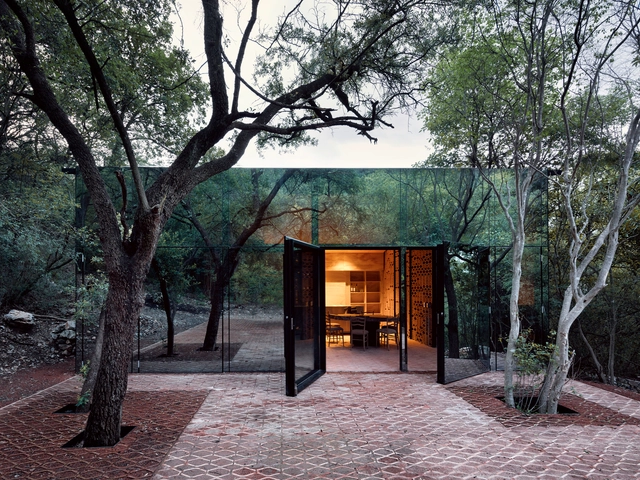
As one of Mexico's most prominent cities and business hubs, Monterrey is situated within the territory of Nuevo León, a state in the country's Northeast region that borders Texas, defining a significant portion of the US-Mexico border. Covering just over 451.30 square kilometers with an average elevation of 500 meters above sea level, the municipality is bordered to the north by San Nicolás de los Garza and General Escobedo; to the south by San Pedro Garza García and Santiago; to the east by Guadalupe, Juárez, and Cadereyta; and to the west by Santa Catarina and García.
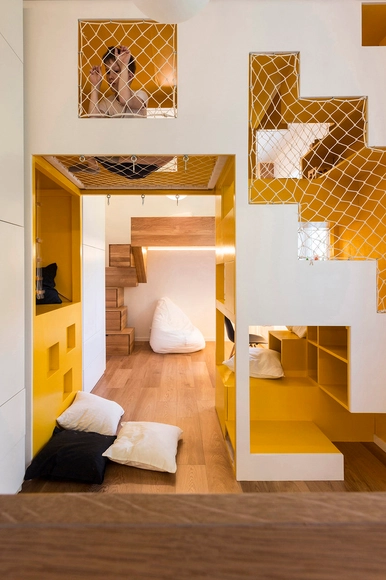
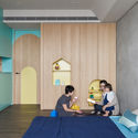
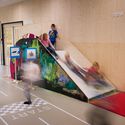
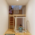
The environment we inhabit influences us directly. For kids, this environment must be especially safe and accessible, yet simultaneously stimulating, so that they can move and develop freely without jeopardizing their physical safety. We have already written about how to create playgrounds in interior spaces. Today, we put together a series of examples that use the warmth and versatility of wood to create interactive, creative, and fun interiors for children.
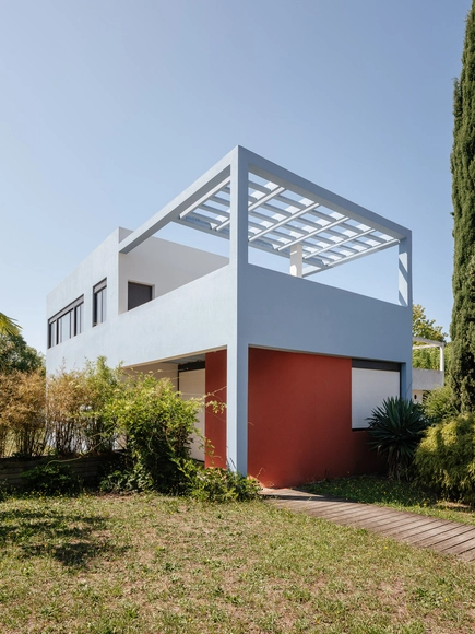
In the 1920s, work was completed on the Cité Frugès housing complex in Pessac, France. The project, meant to house Pessac's industrial workers, would be one of seventeen Le Corbusier works on UNESCO's list of World Heritage Sites.
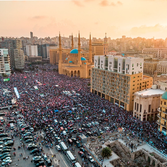
"Public space" is a legal terminology that tackles the notion of land ownership, suggesting that this type of parcel does not belong to anyone in particular, but to the state itself. Open, free, accessible to all, and financed by public money, these spaces are not only the results of planning, but the consequences of the public practices they hold. Actually, people define how public space is used and what it means.
Protests - powerful political tools for change - from the March on Washington in 1963, the Arab Spring in the early 2000s to recent Black Lives Matter Movements, are altering the world. In times like these, while people still need to "take their issues to the streets" to be heard and seen, public spaces have resurfaced as a topic of discussion.
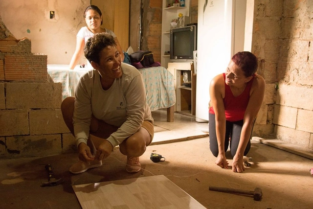
The spirit of the women who participate in the movements fighting for housing in Brazil is as hard as lime and wood. As a majority in land occupations, they vigorously coordinate organizational and political practices of settlement and popular housing construction. It is no wonder that many of the occupations of the MST (Landless Rural Workers' Movement) or the MTST (Homeless Workers' Movement) carry the names of women such as Dandara, a quilombo leader from the colonial period.

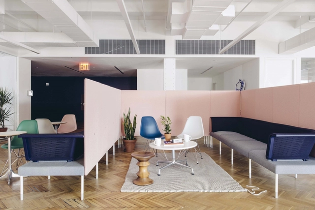
At ThinkLab, our passion lies at the intersection of specification and design, where we use research to improve communications between designers and manufacturers. Today, that research is helping companies within the interiors industry make critical business decisions as we face economic uncertainty. Here, we share some recent data and insights from our Industry Impact Survey—an ongoing research initiative that we invite you to participate in.

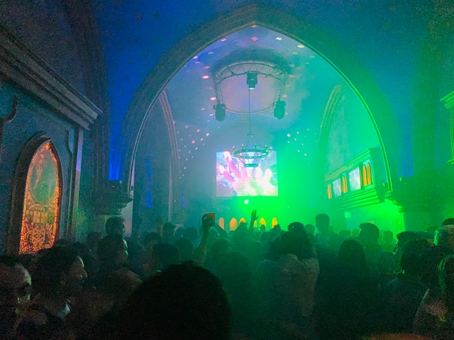
The following article proposes rethinking architecture from object to subject. Carlos Medellín and María Victoria Londoño delve into the subject, questioning Vitruvian principles and the adaptability of the architectural object to its various uses through the example of the Metro Riviera Theater / Theatron in Bogotá.



.jpg?1591280425 "© Archstorming")