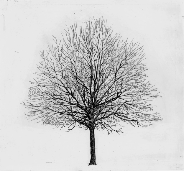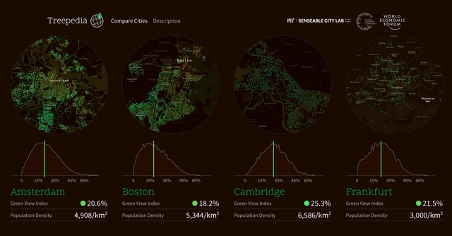
Researchers at the MIT Senseable City Lab have launched a new platform using Google Street View data to measure and compare the green canopies of major cities across the world. Treepedia, created in collaboration with the World Economic Forum, is an interactive website which allows users to view the location and size of their city’s trees, submit information to help tag them, and advocate for more trees in their area. In the development of Treepedia, the Senseable City Lab recognizes the role of green canopies in urban life, and asks how citizens can be more integral to the process of greening their neighborhoods.