1. ArchDaily
  2. Floodscape

Floodscape: The Latest Architecture and News

Planned Overflow: How Singapore Balances Floods, Canals, and Public Space

Audio available

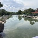
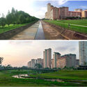
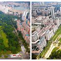
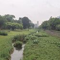
At Bishan–Ang Mo Kio Park in Singapore, a river does not occupy a fixed boundary. Under ordinary conditions, water moves through a naturalized channel bordered by grass, planting, and paths that bring visitors close to the river. During heavy rainfall, water spreads into the surrounding park, which is designed to accommodate flows beyond the capacity of the narrower channel. What appears to be a public landscape is also working infrastructure. Singapore's approach retains drainage engineering while assigning a wider role to the land around it.

For decades, Singapore's network of concrete canals has been central to managing stormwater in a densely developed city exposed to intense tropical rainfall. Their hard surfaces and defined channels were designed to convey water efficiently. These channels moved stormwater efficiently, but offered limited space for public access, planting, or other uses along the water's edge. Through its Active, Beautiful, Clean Waters (ABC Waters) Programme, launched in 2006, Singapore began integrating waterways with parks, ecological systems, and public spaces. The programme links stormwater management with the design of parks, waterways, and public spaces.
Planned Overflow: How Singapore Balances Floods, Canals, and Public Space - Image 1 of 4Planned Overflow: How Singapore Balances Floods, Canals, and Public Space - Image 2 of 4Planned Overflow: How Singapore Balances Floods, Canals, and Public Space - Image 3 of 4Planned Overflow: How Singapore Balances Floods, Canals, and Public Space - Image 4 of 4Planned Overflow: How Singapore Balances Floods, Canals, and Public Space - More Images+ 5

MVRDV Wins Competition to Design the Master Plan for a Taiwanese Town’s Water Network

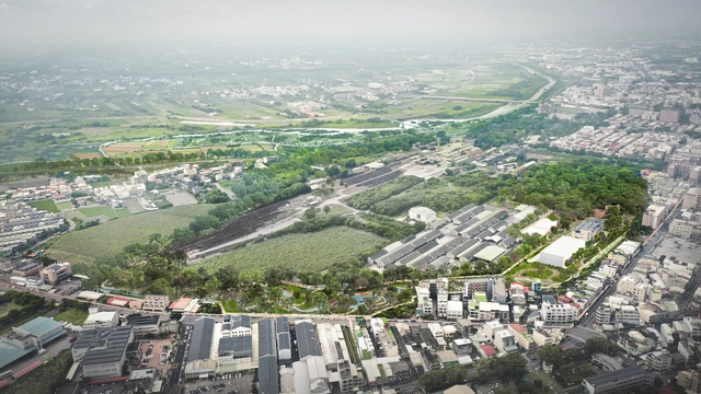
International office MVRDV has been selected by the Taiwan Ministry of Economic Affairs to design the Hoowave Water Factory, a large-scale redevelopment of Huwei’s Beigang and Anqingzhen waterways. The project combines a strategic master plan with the landscape design in an effort to move beyond the mono-functional approach for controlling and distributing water. Besides storing and capturing water, the proposal also opens up access to the river and the natural ecosystem by integrating cycling paths, cultural amenities, and ecological systems. The master plan also includes a comprehensive strategy for flood resilience while improving the quantity and quality of available water. The project is expected to be completed in 2026.

MVRDV Wins Competition to Design the Master Plan for a Taiwanese Town’s Water Network - Image 1 of 4MVRDV Wins Competition to Design the Master Plan for a Taiwanese Town’s Water Network - Image 2 of 4MVRDV Wins Competition to Design the Master Plan for a Taiwanese Town’s Water Network - Image 3 of 4MVRDV Wins Competition to Design the Master Plan for a Taiwanese Town’s Water Network - Image 4 of 4MVRDV Wins Competition to Design the Master Plan for a Taiwanese Town’s Water Network - More Images+ 12

Why Landscapes Designed to Flood Are Environmentally Sound

A “floodscape” could be seen as a contradiction in terms: Flood spreads wherever gravity leads it, covering the familiar topography with a dark, gray, and uniform blanket. In that regard, flood is amorphous, as it can distort and temporarily erase forms and features from the visible landscape—nothing that could be described as a “scape” in the sense of articulated and meaningful scenery.

But when the boundaries of a flood are not just defined by the quantity or the velocity of water but also by landforms and structures carefully designed and placed to influence and shape the “disaster,” the result can be considered as a landscape, physically and culturally defined by flood.