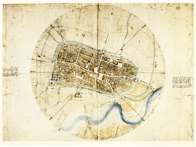
CityLab has recently published an article outlining Leonardo da Vinci's Town Plan of Imola, an "ichnographic" map from 1502, and the earliest of its kind in existence. Rather than utilizing elevations or oblique mapping methods like most other Renaissance mappers, da Vinci developed his own technique -- possibly using special hodometer and magnetic compass technologies that he invented -- to draw the city "as if viewed from an infinite number of viewpoints."


















.jpg?1462898782&format=webp&width=640&height=580)