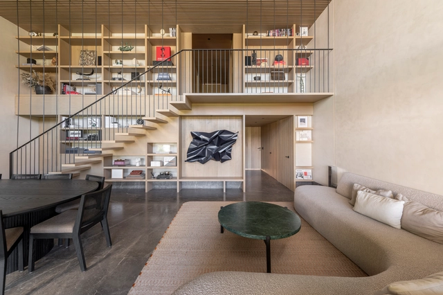


-
Architects: Taller MRD
- Area: 580 m²
- Year: 2024
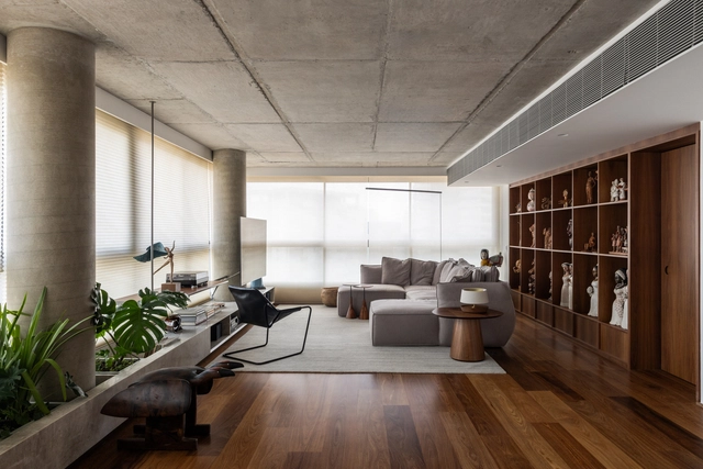

In Jacques Tati's classic film *Mon Oncle* (1958), the house—as the scenographic embodiment of the "machine for living"—is the protagonist. Its technological devices, occasionally untameable, dictate the rules. The homeowner, Madame Arpel, is a typical technocentrist, marveling at the technology surrounding her and believing it to be the solution to all her daily problems. In contrast to Madame Arpel is her brother, Mr. Hulot, who arrives for a visit and struggles to cope with all this innovation. Throughout his stay, we are introduced to a house that proves to be highly complex, while simultaneously denying the user any control.
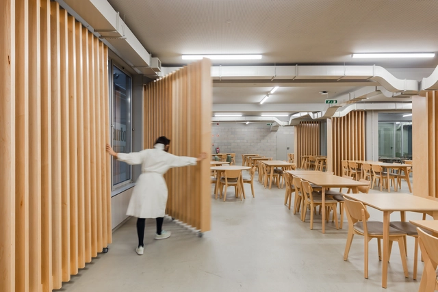
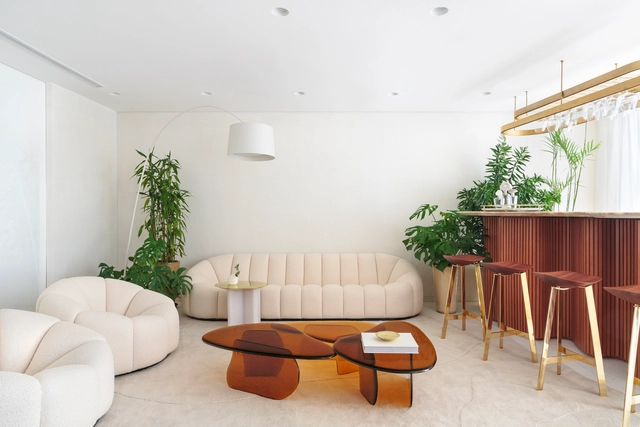
The Architecture and Health Study Group is a monthly event dedicated to discussing topics such as neuroscience applied to architecture, as well as the 9 Foundations of healthy buildings.
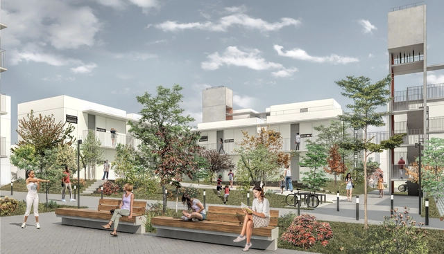
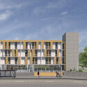
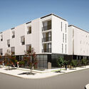
To bring together innovative, sustainable social housing architectural designs that reduce energy consumption. This was the goal of the National Competition of Architectural Ideas for Energy Efficiency in Social Housing, organized by the German government cooperation agency Deutsche Gesellschaft für Internationale Zusammenarbeit (GIZ) GmbH.

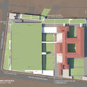
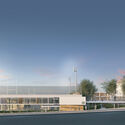
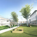
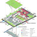
Liceu Pasteur is a public institution under private law that is part of the network of French schools abroad, present in 135 countries. In São Paulo, it has been located on Mairinque Street, in the Vila Mariana neighborhood, since 1923, occupying a building designed by Escritório Técnico Ramos de Azevedo, which is listed by São Paulo's municipal heritage preservation agency.
Since 2018, the school has been undergoing a phased modernization project aimed at updating the functional and technical aspects of its spaces. In December 2019, four architecture firms were invited to compete for the Lycée Pasteur expansion project: Bloch Arquitetura, Nucci Pietraroia - NPC Grupo Arquitetura, ReadyMake/Andrade Morettin Arquitetos Associados, and Triptyque.
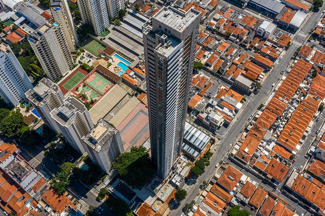
In urban planning, population density is a subject that sparks discussion, doubt, and debate. A common point of confusion, for instance, is conflating built density (the amount of built area in a given location) or even building height with population density (the number of residents in a given location).
In New York, for example, Midtown Manhattan has perhaps the city's highest concentration of skyscrapers, despite having a population density of "only" 18,000 residents/km²—less than half of the Upper West Side, which boasts 44,000 residents/km² with lower but predominantly residential buildings, whereas Midtown has fewer residential buildings. In Brazil, this discrepancy is far more extreme: the densest neighborhoods in major Brazilian cities tend to be the most horizontal, as they consist of informal settlements (favelas) with small housing units, minimal space between structures, and larger families living in (or cohabiting) these units.
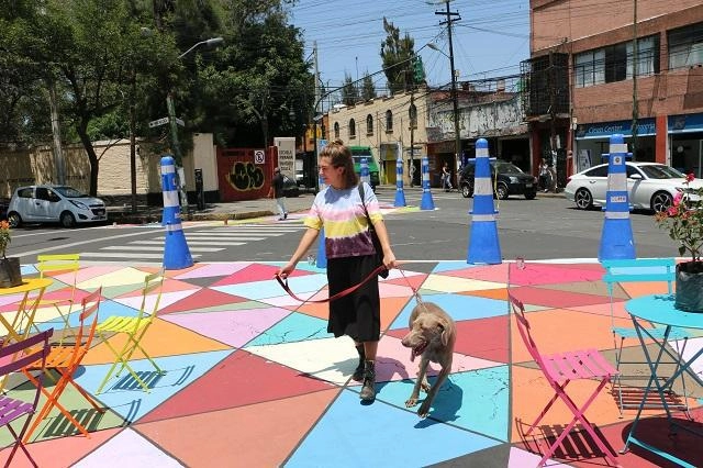
As the Covid-19 pandemic altered urban landscapes and drew more people toward active mobility, there is a heightened urgency to make streets safer for pedestrians and cyclists. Many cities are now tasked with protecting the most vulnerable users, while also creating safe public spaces that enable economic recovery and allow people to enjoy the outdoors. At the same time, there are long-term reasons to support this transition.
“Walking and cycling are among the most sustainable ways to get around cities – but not if they are extremely dangerous options,” says Claudia Adriazola-Steil, interim director of Urban Mobility and director of Health & Road Safety at the WRI Ross Center for Sustainable Cities.
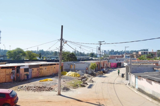
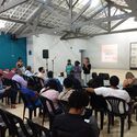
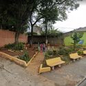
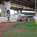
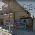
The Neighborhood Plan is an urban planning tool that encourages residents to propose initiatives to improve their neighborhoods. It was established in São Paulo by the Strategic Master Plan municipal law with the goals of aligning local issues with the city's broader structural demands, identifying the need for public, social, and recreational facilities in neighborhoods, strengthening the local economy, and fostering job opportunities.




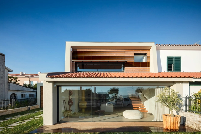
.jpg?1623262181 "© João Morgado")