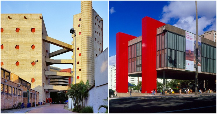
The city of São Paulo is the first in South America to freely release laser-scanned data covering its entire territory. The files are available for download on the GeoSampa Portal. The technology, known as LiDAR (Light Detection and Ranging), goes beyond standard satellite imagery or aerial photography to provide a high-resolution geometric representation of a city. Consequently, it offers a much more accurate and detailed model of the mapped area.